Browse / Switzerland / Bern / Gampelen
Gampelen
Bernvillage

Gampelen
Total population
796
Demographic figures from Swiss Federal Statistical Office. Overview below cites Wikipedia and may reference a different year.
City facts
Facts from Wikidata (CC0).
Overview
Gampelen is a municipality in the Seeland administrative district in the canton of Bern in Switzerland. Gampelen should not be confused with the municipality Gampel in the canton of Valais.
Read more on WikipediaHistory & geography
History
Gampelen is first mentioned in 1179 as Champion and again in 1228 as Champlun. The area around Gampelen was home to several mesolithic, neolithic and Bronze Age settlements. One of the largest was a Late Bronze Age lake front settlement on Witzwil Island. Bricks, money and a dam from Roman era settlements have been found stretching from Zihlbrücke in Gals through Gampelen to Witzwil in Ins. During the Middle Ages it was part of the Herrschaft of Erlach. In 1395 the area became part of the County of Savoy. Almost a century later, in 1474, it was acquired by Bern and was placed in the bailiwick of Erlach. The village church of St. Martin was first mentioned in 1228. It was destroyed in a fire and rebuilt in 1513 and the nave was expanded and renovated in 1674–75. The church was probably built over a Roman inn and way station. During the Protestant Reformation it became the parish church of the local parish, which eventually grew to include the neighboring municipality of Gals. During the Middle Ages and Early Modern era, Gampelen was surrounded by extensive vineyards. Several residents grew wealthy from the vineyards and built large mansions or manor houses in the village. The Jura water correction project of 1874-83 drained the marshy meadows around the village. The former marshes became fields for sugar beet and other vegetables. In 1901 the Bern–Neuchâtel railway line was built through the town. The railway allowed the village's agricultural products to reach distant markets. Today the railway is mostly used for commuters, with about half of all workers in Gampelen commuting to jobs in nearby towns and cities. The Fanel nature preserve and bird sanctuary along the lake is a sanctuary of European importance.
Geography
Gampelen has an area of . Of this area, or 56.7% is used for agricultural purposes, while or 25.0% is forested. Of the rest of the land, or 10.7% is settled (buildings or roads), or 2.1% is either rivers or lakes and or 5.2% is unproductive land. Of the built up area, housing and buildings made up 3.2% and transportation infrastructure made up 4.6%. while parks, green belts and sports fields made up 1.9%. Out of the forested land, all of the forested land area is covered with heavy forests. Of the agricultural land, 47.1% is used for growing crops and 8.1% is pastures, while 1.5% is used for orchards or vine crops. Of the water in the municipality, 0.3% is in lakes and 1.8% is in rivers and streams.
Excerpted from the corresponding Wikipedia article (CC BY-SA).
Geography
Coordinates & boundaries from the US Census TIGER/Line shapefiles.
Climate
Air quality
Walkability
Amenities nearby
Wildlife & biodiversity
Earthquake history
Photos
Sights & places nearby
Notable people from here


People born within ~10 km, from Wikidata (CC0). Click any name for their Wikipedia article.
Geography & sun
Elevation, sunrise/sunset and daylight from Open-Meteo. Solar climatology from NASA POWER.
Nearby airports
Public attention
Pageview totals from the Wikimedia Pageviews API.
Books about this place
Recent natural events nearby
Ground air-quality sensors
Recently spotted species
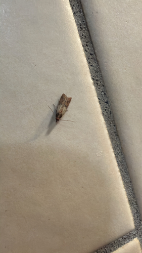

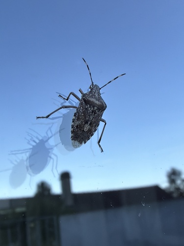
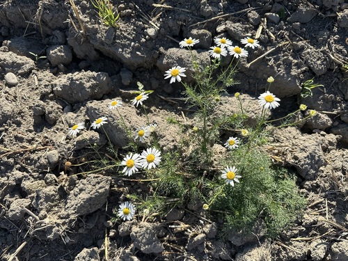
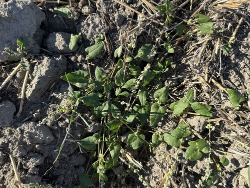
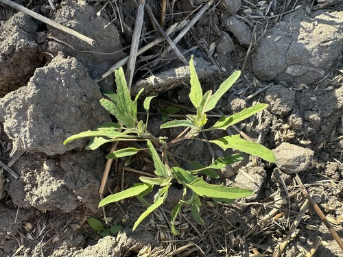
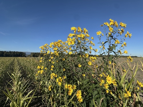

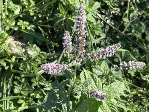
Research-grade observations from iNaturalist (within ~15 mi).
Events
Gallery
Official Identifiers
BFS — Swiss Federal Statistical Office
- BFS-Nr
- 495
- Population (Wikidata)
- 962
- Wikidata
- Q67387
Gemeindenummer via Wikidata P771
Sources
- • Wikipedia
- • Wikidata
- • iNaturalist
- • Open-Meteo / sunrise-sunset.org
- • Wikipedia Pageviews API
- • BFS — Swiss Federal Statistical Office — Gemeindenummer via Wikidata P771