Browse / Switzerland / Aargau / Gipf-Oberfrick
Gipf-Oberfrick
Aargauvillage

Gipf-Oberfrick
Total population
3,502
Demographic figures from Swiss Federal Statistical Office. Overview below cites Wikipedia and may reference a different year.
City facts
Overview
Gipf-Oberfrick is a municipality in the district of Laufenburg in the canton of Aargau in Switzerland.
Read more on WikipediaHistory & geography
History
Discoveries in the area that would become Gipf-Oberfrick indicated that there were several earlier settlements. These finds include; several Bronze Age items, La Tène culture graves and Roman era buildings and a farm house from the 1st to 4th Centuries. The modern village of Gipf is first mentioned in 1259 as Cubibe. In 1276 it was mentioned as Gipff, and in 1278 as Guffpha. In 1288 Oberfrick was mentioned as Obiren Vrieche. At one time the castle of Alt-Thierstein was above the village on the Tiersteinberg. The castle is now a ruin. Before 1232 the village was owned by the count of Homberg-Thierstein. After 1232 it came under the authority of the lords of Frick, a Habsburg vassal. In 1406 the Lords of Eptingen acquired the village and then later it came to the city of Basel. In 1534 the rights to the village fell back to Austria and it became part of the district of Fricktal. It remained under Habsburgs until 1797. Frick, Oberfrick and Gipf formed a municipal court (bailiwick). This court had the authority over Zwing und Bann within the three villages, making the bailiwick self-governing on minor issues. The area suffered great destruction in the Thirty Years War. After the Act of Mediation in 1803, the Confederation of Fricktal joined the Swiss Confederation. At that time, the former bailiwick was divided into the municipalities of Frick and Gipf-Oberfrick. Gipf and Frick were united in one parish, until 1953, when an independent Gipf-Oberfrick parish was created. St. Wendelin's chapel was built in 1708, and a parish church was built in 1968–70.
Geography
Gipf-Oberfrick has an area, , of . Of this area, or 49.1% is used for agricultural purposes, while or 40.7% is forested. Of the rest of the land, or 10.1% is settled (buildings or roads), or 0.3% is either rivers or lakes. Of the built up area, housing and buildings made up 6.7% and transportation infrastructure made up 2.7%. 38.4% of the total land area is heavily forested and 2.3% is covered with orchards or small clusters of trees. Of the agricultural land, 24.8% is used for growing crops and 18.9% is pastures, while 5.5% is used for orchards or vine crops. All the water in the municipality is in rivers and streams. The municipality is located in the Laufenburg district, in the upper Fricktal (Frick river valley). It consists of the villages of Gipf and Oberfrick.
Excerpted from the corresponding Wikipedia article (CC BY-SA).
Geography
Coordinates & boundaries from the US Census TIGER/Line shapefiles.
Climate
Air quality
Walkability
Amenities nearby
Wildlife & biodiversity
Most-observed species
- Meadow BrownManiola jurtina (Linnaeus, 1758) · Insecta14,788
- Marbled WhiteMelanargia galathea Linnaeus, 1758 · Insecta7,747
- Common BluePolyommatus icarus (von Rottemburg, 1775) · Insecta7,179
- Annual FleabaneErigeron annuus (L.) Pers. · Magnoliopsida6,949
- Small HeathCoenonympha pamphilus (Linnaeus, 1758) · Insecta5,747
- European roe deerCapreolus capreolus (Linnaeus, 1758) · Mammalia4,550
- bow-winged grasshopperChorthippus biguttulus (Linnaeus, 1758) · Insecta3,413
- Yellow-legged hornetVespa velutina Lepeletier, 1836 · Insecta3,084
Citizen-science & research observations from the Global Biodiversity Information Facility (GBIF).
Earthquake history
Most recent
- M 3.5 — 2024-06-271 km SSW of Todtmoos, Germany
- M 4.2 — 2024-06-042 km NNW of Unteriberg, Switzerland
- M 4.4 — 2023-03-221 km NW of Pont-de-Roide, France
- M 3.9 — 2022-09-101 km WSW of Zimmersheim, France
- M 4.1 — 2021-12-242 km WSW of Blamont, France
- M 3.1 — 2018-05-042 km W of Schliengen, Germany
Events from the USGS Earthquake Catalog (global) (FDSN Event Web Service).
Photos
Sights & places nearby
Notable people from here
Nearby places in Aargau
- Oeschgen1.6 mi away · pop. 1,013
- Wittnau1.7 mi away · pop. 1,320
- Schupfart2.1 mi away · pop. 825
- Wölflinswil2.5 mi away · pop. 1,042
- Herznach2.8 mi away · pop. 1,506
- Hornussen2.8 mi away · pop. 936
- Ittenthal3 mi away · pop. 236
- Wegenstetten3.2 mi away · pop. 1,075
- Münchwilen3.4 mi away · pop. 936
- Kaisten3.4 mi away · pop. 2,649
- Obermumpf3.7 mi away · pop. 1,040
- Hellikon3.7 mi away · pop. 788
Geography & sun
Elevation, sunrise/sunset and daylight from Open-Meteo. Solar climatology from NASA POWER.
Nearby airports
Public attention
Pageview totals from the Wikimedia Pageviews API.
Books about this place
Recent natural events nearby
Ground air-quality sensors
Recently spotted species
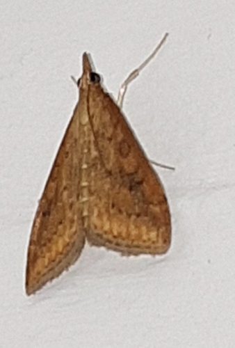
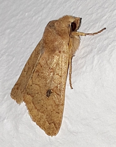
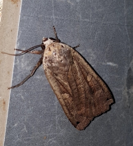
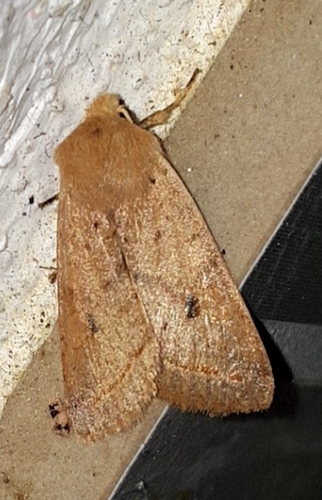
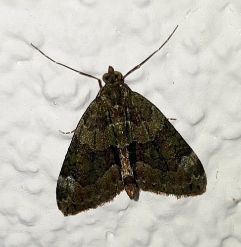
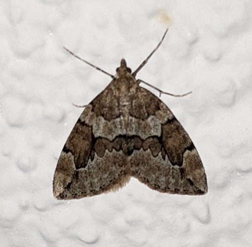
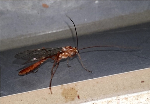
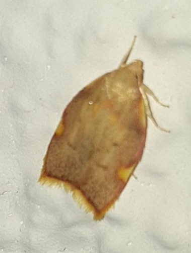
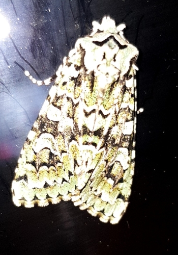
Research-grade observations from iNaturalist (within ~15 mi).
Events
Gallery
Official Identifiers
BFS — Swiss Federal Statistical Office
- BFS-Nr
- 4165
- Population (Wikidata)
- 3,542
- Wikidata
- Q66986
Gemeindenummer via Wikidata P771
Sources
- • Wikipedia
- • USGS Earthquake Catalog (global feed)
- • GBIF (Global Biodiversity Information Facility)
- • iNaturalist
- • Open-Meteo / sunrise-sunset.org
- • Wikipedia Pageviews API
- • Wikidata SPARQL (CC0) — population, area, elevation, inception, head of government, Commons image
- • BFS — Swiss Federal Statistical Office — Gemeindenummer via Wikidata P771