Browse / Switzerland / Thurgau / Gottlieben
Gottlieben
Thurgauvillage

Gottlieben
Total population
306
Demographic figures from Swiss Federal Statistical Office. Overview below cites Wikipedia and may reference a different year.
City facts
Facts from Wikidata (CC0).
Overview
Gottlieben is a municipality in the district of Kreuzlingen in the canton of Thurgau in Switzerland.
Read more on WikipediaHistory & geography
History
Gottlieben is first mentioned around the end of the 10th century as Gotiliubon. It was originally part of the land owned by the Bishop of Constance. In 1251, Eberhard von Waldburg built a castle that served as the residence of the Bishops. After the Swabian War in 1499 the episcopal chief constable managed the village and the local low court from the castle until 1798. The court included Engwilen, Siegershausen and Tägerwilen as well as Gottlieben and made up the Bishop's bailiwick of Gottlieben. In 1808 the castle became private property. In 1837 it was renovated in a neo-gothic style. Originally Gottlieben was in the parish of Tägerwilen. During the Protestant Reformation (1529) the population converted to the new faith. In 1734–35, the church was built and the Swiss Reformed Church parish of Gottlieben was formed. Since 1912, this parish has been combined with Tägerwilen. In the 17th and 18th centuries the village witnessed an economic boom because of its convenient location for Rhine traffic. It became a commercial and trading center for salt, iron and wine. In 1678 it received market rights. Although in the 19th century small industries settled in Gottlieben (the button factory, horsehair spinning), until after the mid-20th century fishing, crafts and trade formed the main occupation of the population. After 1945, tourism developed into the main industry of the village, so that today only two boat yards and the famous restaurant Hüppenbäckerei remain. In 2000 the Bodman-Haus, the former home of the poet Emanuel von Bodman (1874–1946), opened a memorial and cultural center.
Geography
Gottlieben has an area, , of . Of this area, or 15.2% is used for agricultural purposes, while or 15.2% is forested. Of the rest of the land, or 42.4% is settled (buildings or roads) and or 36.4% is unproductive land. Of the built up area, industrial buildings made up 21.2% of the total area while housing and buildings made up 6.1% and transportation infrastructure made up 3.0%. while parks, green belts and sports fields made up 12.1%. Out of the forested land, 3.0% of the total land area is heavily forested and 12.1% is covered with orchards or small clusters of trees. Of the agricultural land, 15.2% is used for growing crops. All of the unproductive land is unproductive vegetation. The municipality is located in the Kreuzlingen district, north-west of Kreuzlingen at the mouth of the Rhine into the Untersee section of Lake Constance.
Excerpted from the corresponding Wikipedia article (CC BY-SA).
Geography
Coordinates & boundaries from the US Census TIGER/Line shapefiles.
Climate
Air quality
Walkability
Amenities nearby
Wildlife & biodiversity
Earthquake history
Photos
Sights & places nearby
Notable people from here
Nearby places in Thurgau
- Tägerwilen0.5 mi away · pop. 3,273
- Triboltingen1.2 mi away
- Kreuzlingen2.2 mi away · pop. 23,407
- Stad2.4 mi away
- Ermatingen2.6 mi away · pop. 3,780
- Wäldi2.7 mi away · pop. 970
- Fruthwilen3.2 mi away
- Salenstein3.5 mi away · pop. 1,108
- Bottighofen3.8 mi away · pop. 2,696
- Mannenbach-Salenstein3.9 mi away
- Lengwil3.9 mi away · pop. 1,227
- Sonterswil3.9 mi away
Geography & sun
Elevation, sunrise/sunset and daylight from Open-Meteo. Solar climatology from NASA POWER.
Nearby airports
Public attention
Pageview totals from the Wikimedia Pageviews API.
Books about Gottlieben
Search results from Open Library.
Recent natural events nearby
Ground air-quality sensors
Recently spotted species
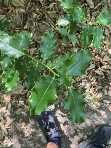
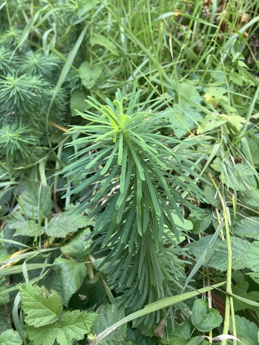
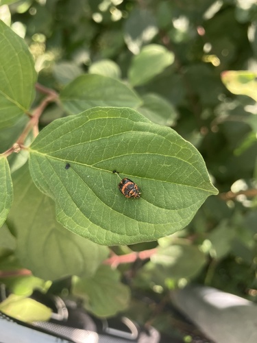
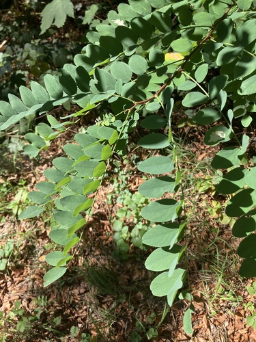
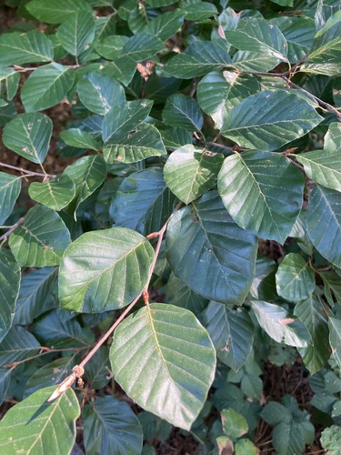
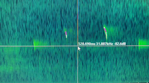
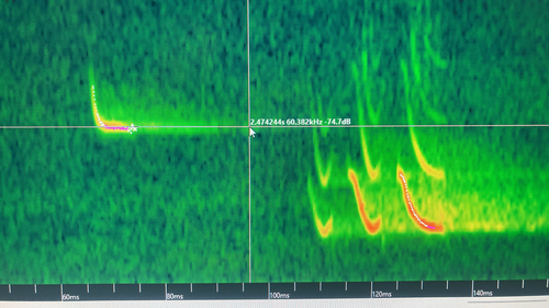
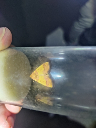
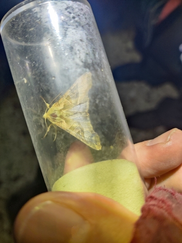
Research-grade observations from iNaturalist (within ~15 mi).
Events
Gallery
Official Identifiers
BFS — Swiss Federal Statistical Office
- BFS-Nr
- 4651
- Population (Wikidata)
- 339
- Wikidata
- Q66302
Gemeindenummer via Wikidata P771
Sources
- • Wikipedia
- • Wikidata
- • iNaturalist
- • Open-Meteo / sunrise-sunset.org
- • Wikipedia Pageviews API
- • Open Library
- • BFS — Swiss Federal Statistical Office — Gemeindenummer via Wikidata P771