Browse / Switzerland / Bern / Grindelwald
Grindelwald
Bernvillage

Grindelwald
Total population
4,022
Demographic figures from Swiss Federal Statistical Office. Overview below cites Wikipedia and may reference a different year.
City facts
Facts from Wikidata (CC0).
Overview
Grindelwald is a village and municipality in the Interlaken-Oberhasli administrative district in the canton of Berne. In addition to the village of Grindelwald, the municipality also includes the settlements of Alpiglen, Burglauenen, Grund, Itramen, Mühlebach, Schwendi, Tschingelberg and Wargistal.
Read more on WikipediaHistory & geography
History
Grindelwald was first mentioned in 1146 as Grindelwalt. The oldest traces of a settlement in the area are scattered neolithic tools which have been discovered around Grindelwald village. Several Roman era coins have also been found in the municipality. A castle was built on the Burgbühl hill above the village during the High Middle Ages. The tourism industry began in Grindelwald in the late 18th century as foreigners discovered the scenic town. Pictures of the vistas were widely reprinted, quickly making the village internationally famous. In the 19th century many Englishmen came to the village to climb the alpine peaks around the valley. The Finsteraarhorn (), the Wetterhorn (), the Eiger (), the Schreckhorn () and the Gross Fiescherhorn () were all climbed during the 19th century, an ascent of the Wetterhorn marking the beginning of the golden age of alpinism. The ascent of the north face of the Eiger, in 1938, was also a milestone in mountaineering history. The Grindelwald road was built in 1860–72, and the Bernese Oberland railway reached the village in 1890, both of which transformed an arduous journey into a simple trip and allowed tourists to flood into the village. In 1888, Grindelwald was the first resort in the Bernese Oberland to also become a winter destination, attractions being sleigh rides, curling, skating and, from 1891, skiing. The first resort opened in 1888, there were 10 hotels in 1889, and by 1914 there were 33 in Grindelwald. A rack railway was built to Kleine Scheidegg in 1893, and it was expanded to the Jungfraujoch in 1912. Numerous ski lifts, cable cars, hiking trails and alpine huts were built in the late 19th and 20th centuries to allow tourists to explore the mountains, notably the Wetterhorn Elevator, one of the first modern aerial…
Geography
The municipality is quite large and is divided into seven mountain communities. However the municipality is dominated by the large tourist center of Grindelwald, slightly above the Black Lütschine, the main river of the valley, the latter converging with the White Lütschine. The village is surrounded by the mountains of the Faulhorn, Schwarzhorn, Wellhorn, Wetterhorn, Mettenberg, Schreckhorn, Lauteraarhorn, Agassizhorn, Fiescherhorn, Mönch (the highest), Eiger, Lauberhorn and Männlichen, all of which are either within or on the border of the municipality. The Kleine Scheidegg and the Grosse Scheidegg, respectively "minor watershed" and "major watershed" are the two main passes of the valley. Grindelwald has an area of . Of this area, or 28.9% is used for agricultural purposes, while or 16.4% is forested. Of the rest of the land, or 1.8% is settled (buildings or roads), or 0.8% is either rivers or lakes, and or 52.1% is unproductive land. Of the built up area, housing and buildings made up 1.0% and transportation infrastructure made up 0.6%. Out of the forested land, 12.9% of the total land area is heavily forested, and 2.3% is covered with orchards or small clusters of trees. Of the agricultural land, 5.1% is pastures and 23.8% is used for alpine pastures. All the water in the municipality is flowing water. Of the unproductive areas, 6.6% is unproductive vegetation, 24.0% is too rocky for vegetation, and 21.6% of the land is covered by glaciers. On 31 December 2009, Amtsbezirk Interlaken, the municipality's former district, was dissolved. On the following day, 1 January 2010, it joined the newly created Verwaltungskreis Interlaken-Oberhasli.
Excerpted from the corresponding Wikipedia article (CC BY-SA).
Geography
Coordinates & boundaries from the US Census TIGER/Line shapefiles.
Climate
Air quality
Walkability
Amenities nearby
Wildlife & biodiversity
Most-observed species
- Small TortoiseshellAglais urticae (Linnaeus, 1758) · Insecta2,030
- Scotch ArgusErebia aethiops Esper, 1777 · Insecta1,751
- Meadow BrownManiola jurtina (Linnaeus, 1758) · Insecta1,631
- chamoisRupicapra rupicapra (Linnaeus, 1758) · Mammalia1,485
- Yellow-billed ChoughPyrrhocorax graculus (Linnaeus, 1766) · Aves1,266
- Small BlueCupido minimus Füssly, 1775 · Insecta1,123
- Marbled WhiteMelanargia galathea Linnaeus, 1758 · Insecta1,117
- Norway SprucePicea abies (L.) H.Karst. · Pinopsida1,069
Citizen-science & research observations from the Global Biodiversity Information Facility (GBIF).
Earthquake history
Most recent
- M 4.1 — 2025-07-214 km E of Frutigen, Switzerland
- M 4.2 — 2024-06-042 km NNW of Unteriberg, Switzerland
- M 3.2 — 2024-05-099 km SW of Evolène, Switzerland
- M 2.7 — 2022-08-234 km S of Turtmann, Switzerland
- M 4.1 — 2021-10-0510 km SSW of Evolène, Switzerland
- M 4 — 2020-10-255 km ESE of Ennenda, Switzerland
Events from the USGS Earthquake Catalog (global) (FDSN Event Web Service).
Photos
Sights & places nearby
Notable people from here


People born within ~10 km, from Wikidata (CC0). Click any name for their Wikipedia article.
Nearby places in Bern
- Wengen5.6 mi away
- Gündlischwand6.2 mi away · pop. 263
- Zweilütschinen6.4 mi away
- Lauterbrunnen6.5 mi away · pop. 2,315
- Isenfluh6.7 mi away
- Gsteigwiler8 mi away · pop. 434
- Bönigen8.1 mi away · pop. 2,514
- Niederried bei Interlaken8.3 mi away · pop. 375
- Oberried am Brienzersee8.6 mi away · pop. 469
- Unterbach8.7 mi away
- Ebligen9.2 mi away
- Brienzwiler9.2 mi away · pop. 580
Geography & sun
Elevation, sunrise/sunset and daylight from Open-Meteo. Solar climatology from NASA POWER.
Nearby airports
Public attention
Pageview totals from the Wikimedia Pageviews API.
Books about Grindelwald

Search results from Open Library.
Recent natural events nearby
Ground air-quality sensors
Recently spotted species
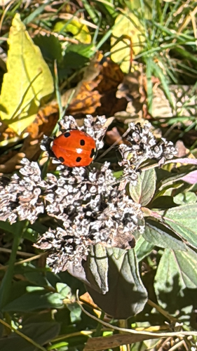
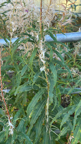
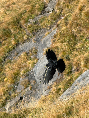
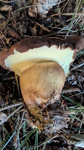
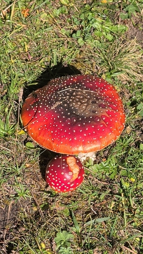
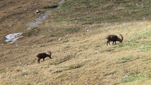
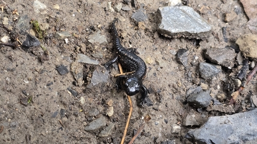
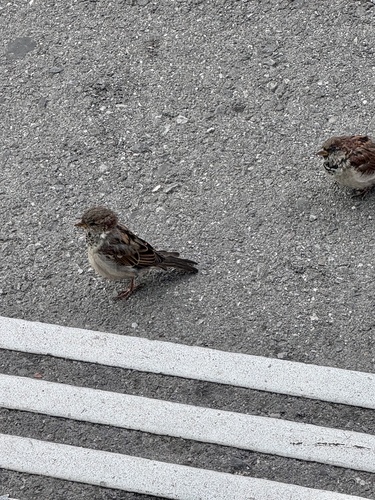
Research-grade observations from iNaturalist (within ~15 mi).
Events
Gallery
Official Identifiers
BFS — Swiss Federal Statistical Office
- BFS-Nr
- 576
- Population (Wikidata)
- 1,816
- Wikidata
- Q64004
Gemeindenummer via Wikidata P771
Sources
- • Wikipedia
- • Wikidata
- • USGS Earthquake Catalog (global feed)
- • GBIF (Global Biodiversity Information Facility)
- • iNaturalist
- • Open-Elevation
- • Open-Meteo / sunrise-sunset.org
- • Wikipedia Pageviews API
- • Open Library
- • Wikidata SPARQL (CC0) — population, area, elevation, inception, head of government, Commons image
- • BFS — Swiss Federal Statistical Office — Gemeindenummer via Wikidata P771