Browse / Switzerland / Bern / Gstaad
Gstaad
Bernvillage
Total population
6,874
Demographic figures from Swiss Federal Statistical Office. Overview below cites Wikipedia and may reference a different year.
City facts
Overview
Gstaad is a town in the German-speaking section of the Canton of Bern in southwestern Switzerland. It is part of the municipality of Saanen and is known as a major ski resort and a popular destination amongst high society and the international jet set. The winter campus of the Institut Le Rosey is located in Gstaad. Gstaad has a population of about 9,200 and is located 1,050 metres above sea level.
Read more on WikipediaHistory & geography
History
During the Middle Ages, it was part of the district of Saanen (Gessenay) belonging to the Savoyard county of Gruyère. The town core developed at the fork in the trails into the Valais and Vaud. It had an inn, a warehouse for storing trade goods and oxen to help pull wagons over the alpine passes by the 13th-14th centuries. The St. Nicholas chapel was built in the town in 1402, while the murals are from the second half of the 15th century. The town was dominated by cattle farming and agriculture until the great fire of 1898. It was then rebuilt to support the growing tourism industry. The construction of the Montreux–Lenk im Simmental line in 1905 and the construction of ski runs (the Ski Club of Saanen open in 1905, followed in 1907 by the Ski Club of Gstaad). The first ski school in Gstaad opened in 1923. The Eagle Ski Club opened in 1957, and was funded by Charles Greville, 7th Earl of Warwick. In a short time, there were more than 1,000 hotel beds in the region. The residents, hoteliers, shopkeepers and tourist offices helped to promote Gstaad to international attention. They supported the construction of ice rinks, tennis courts, swimming pools, ski jumps, and ski and hiking areas. The first ski lifts at Funi opened in 1934-44 and were followed by a number of gondolas, ski, and chair lifts. The Gstaad Palace opened in 1913 as Gstaad's first luxury hotel. In 1942, the Saanen-Gstaad airfield was opened for military and civil aviation. Helicopter rides were added later and in 1980 balloon flights became available as well. During the World Wars and the Great Depression, the tourism industry suffered and many hotels closed. After World War II, many of the large hotels remained closed, but they were replaced with a number of smaller non-hotel accommodation…
Excerpted from the corresponding Wikipedia article (CC BY-SA).
Geography
Coordinates & boundaries from the US Census TIGER/Line shapefiles.
Climate
Air quality
Walkability
Amenities nearby
Wildlife & biodiversity
Most-observed species
- Dusky Large BlueMaculinea nausithous (Bergstrasser, 1779) · Insecta4,460
- Great BurnetSanguisorba officinalis L. · Magnoliopsida3,811
- Meadow BrownManiola jurtina (Linnaeus, 1758) · Insecta3,573
- RingletAphantopus hyperantus (Linnaeus, 1758) · Insecta3,194
- Scarce Large BlueMaculinea teleius (Bergstrasser, 1779) · Insecta3,158
- Small TortoiseshellAglais urticae (Linnaeus, 1758) · Insecta2,750
- Marbled WhiteMelanargia galathea Linnaeus, 1758 · Insecta2,302
- False Heath FritillaryMelitaea diamina (Lang, 1789) · Insecta2,224
Citizen-science & research observations from the Global Biodiversity Information Facility (GBIF).
Earthquake history
Most recent
- M 3.6 — 2026-01-124 km SSW of Les Houches, France
- M 4.1 — 2025-07-214 km E of Frutigen, Switzerland
- M 3.2 — 2024-05-099 km SW of Evolène, Switzerland
- M 3.3 — 2022-09-257 km ESE of Ar?ches-la-Frasse, France
- M 2.7 — 2022-08-234 km S of Turtmann, Switzerland
- M 4.1 — 2021-10-0510 km SSW of Evolène, Switzerland
Events from the USGS Earthquake Catalog (global) (FDSN Event Web Service).
Photos
Sights & places nearby
Notable people from here


People born within ~10 km, from Wikidata (CC0). Click any name for their Wikipedia article.
Nearby places in Bern
- Abländschen7.4 mi away
- Schwarzenmatt11.1 mi away
- Boltigen11.9 mi away · pop. 1,272
- Adelboden12.9 mi away · pop. 3,472
- Zwischenflüh14.2 mi away
- Oberwil im Simmental14.6 mi away · pop. 838
- Weissenburg15.6 mi away
- Därstetten16.2 mi away · pop. 879
- Diemtigen18 mi away · pop. 2,054
- Erlenbach im Simmental18.1 mi away · pop. 1,802
- Kalchstätten20.9 mi away
- Oberstocken21.1 mi away · pop. 288
Geography & sun
Elevation, sunrise/sunset and daylight from Open-Meteo. Solar climatology from NASA POWER.
Nearby airports
Public attention
Pageview totals from the Wikimedia Pageviews API.
Books about Gstaad
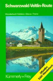
Search results from Open Library.
Recent natural events nearby
Ground air-quality sensors
Recently spotted species
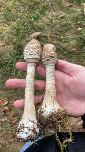
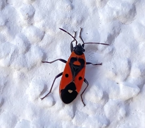
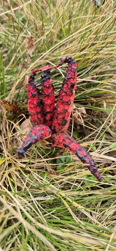
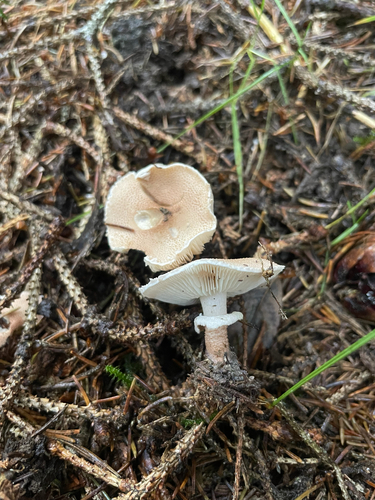
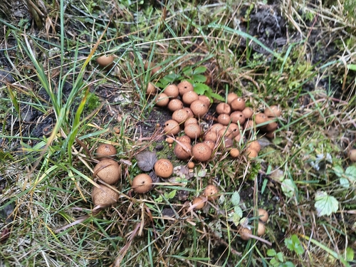
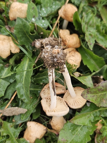
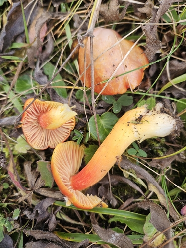
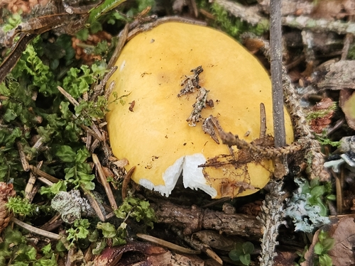
Research-grade observations from iNaturalist (within ~15 mi).
Events
Gallery
Sources
- • Wikipedia
- • Wikidata
- • USGS Earthquake Catalog (global feed)
- • GBIF (Global Biodiversity Information Facility)
- • iNaturalist
- • Open-Meteo / sunrise-sunset.org
- • Wikipedia Pageviews API
- • Open Library
- • Wikidata SPARQL (CC0) — population, area, elevation, inception, head of government, Commons image