Browse / Switzerland / Schaffhausen / Hallau
Hallau
Schaffhausenvillage

Hallau
Total population
2,071
Demographic figures from Swiss Federal Statistical Office. Overview below cites Wikipedia and may reference a different year.
City facts
Sister cities
Facts from Wikidata (CC0).
Overview
Hallau is a municipality in the canton of Schaffhausen in Switzerland.
Read more on WikipediaHistory & geography
History
Though Bronze Age weapons have been found in Hallau, the first traces of a settlement date from the Roman era. A Roman warehouse was found in Hüttenhau as well as numerous Roman coins. The area was settled by the Alamanni. An Alamanni graveyard exists near the Church of St. Moritz, as well as the ruins of the Alamanni village of Atlingen. Hallau is first mentioned in 1095 as Hallaugia superiori et inferiori. In 1273 it was mentioned as Hallowe. Until 1526 it was part of Oberhallau. About two-thirds of the land in Hallau was originally owned by the Benedictine monastery of All Saints in Schaffhausen. In the tax record from 1100, there are no vineyards mentioned in the villages. It is not until the Kelhofbrief of 1280 that the local vineyards first appear. In 1302 the Bishop of Konstanz acquired the vogtei rights over both villages. In 1343 the village organized the Gebursami ze Hallow and secured the market rights, a mill, salt tax and other rights for themselves. In the 2nd half of the 15th Century the Bishop and the Landgrave of Sulz fought over the High justice rights in the Klettgau valley. During the Late Middle Ages and the Early modern period the villages expanded. They purchased the Lauferberg at some point, in 1457 they bought the Vogtei Wunderklingen an der Wutach and in 1507 the weir and water mill.
Geography
Hallau has an area, , of . Of this area, 50.5% is used for agricultural purposes, while 40.3% is forested. Of the rest of the land, 8.7% is settled (buildings or roads) and the remainder (0.5%) is non-productive (rivers or lakes).
Excerpted from the corresponding Wikipedia article (CC BY-SA).
Geography
Coordinates & boundaries from the US Census TIGER/Line shapefiles.
Climate
Air quality
Walkability
Amenities nearby
Wildlife & biodiversity
Earthquake history
Photos
Sights & places nearby
Notable people from here


People born within ~10 km, from Wikidata (CC0). Click any name for their Wikipedia article.
Nearby places in Schaffhausen
- Neunkirch2 mi away · pop. 2,023
- Trasadingen2.3 mi away · pop. 595
- Osterfingen2.7 mi away
- Siblingen3.2 mi away · pop. 810
- Guntmadingen4.7 mi away · pop. 227
- Beringen5.4 mi away · pop. 4,118
- Beggingen6.1 mi away
- Hemmental6.2 mi away · pop. 513
- Schaffhausen8.2 mi away · pop. 35,927
- Merishausen8.4 mi away · pop. 828
- Rüdlingen9.7 mi away · pop. 754
- Buchberg9.8 mi away · pop. 847
Geography & sun
Elevation, sunrise/sunset and daylight from Open-Meteo. Solar climatology from NASA POWER.
Nearby airports
Public attention
Pageview totals from the Wikimedia Pageviews API.
Books about Hallau
Search results from Open Library.
Recent natural events nearby
Ground air-quality sensors
Recently spotted species
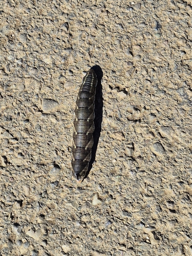
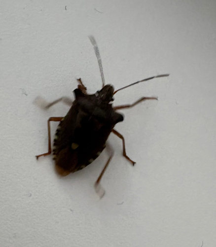
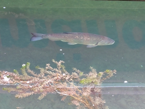
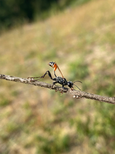
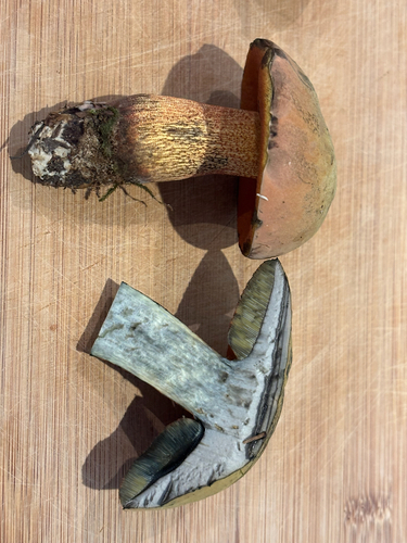
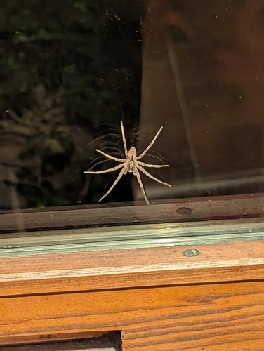
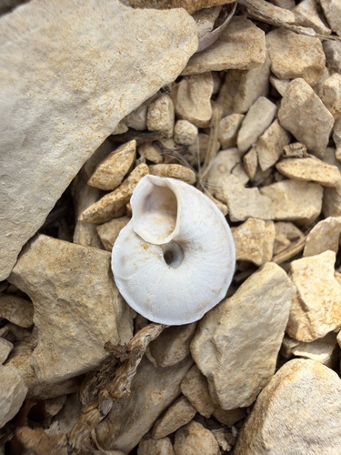
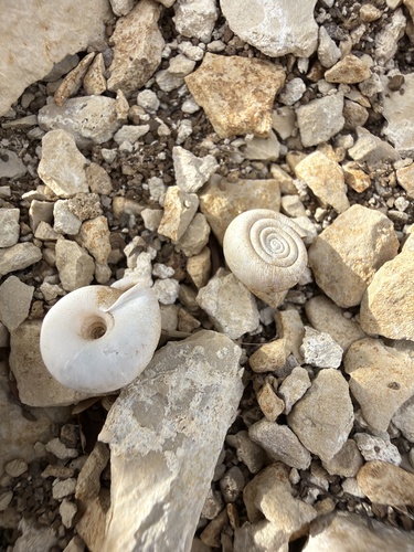
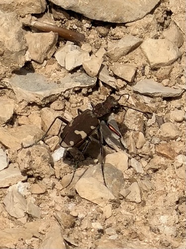
Research-grade observations from iNaturalist (within ~15 mi).
Events
Gallery
Official Identifiers
BFS — Swiss Federal Statistical Office
- BFS-Nr
- 2971
- Population (Wikidata)
- 2,220
- Wikidata
- Q69172
Gemeindenummer via Wikidata P771
Sources
- • Wikipedia
- • Wikidata
- • iNaturalist
- • Open-Elevation
- • Open-Meteo / sunrise-sunset.org
- • Wikipedia Pageviews API
- • Open Library
- • Wikidata SPARQL (CC0) — population, area, elevation, inception, head of government, Commons image
- • BFS — Swiss Federal Statistical Office — Gemeindenummer via Wikidata P771