Browse / Switzerland / Aargau / Hallwil
Hallwil
Aargauvillage

Hallwil
Total population
1,024
Demographic figures from Swiss Federal Statistical Office. Overview below cites Wikipedia and may reference a different year.
City facts
Facts from Wikidata (CC0).
Overview
Hallwil is a municipality in the district of Lenzburg in the canton of Aargau in Switzerland.
Read more on WikipediaHistory & geography
History
Hallwil is first mentioned in 1167 as de Allewilare. Between 1566 and 1950 it was, legally, known as Niederhallwil. The high court and rights to high justice of the Habsburgs in Hallwil ended in 1415 with the conquest of the Aargau by Bern. The rights to low justice were held by the Lords of Rinach and Hallwyl before they went into the possession of Bern, as part of the court district of Trostberg. The tithes, originally collected by Säckingen Abbey, later went to the Lords of Hallwyl who then gave them as a gift to the church of Seengen. In 1528 Bern converted to the Protestant Reformation and Hallwil became part of the Seengen parish. Agriculture was the major economic activity until the 18th century. In the 18th century, the straw plaiting, silk ribbon and linen weaving industries became important. Between 1864 and 1971 the cigar industry dominated. In 1883 the Swiss Federal Railways station at Hallwyl-Dürrenäsch connected the village and the Federal Railway to the Seetalbahn railway. At the end of the 20th century small companies in the service sector and apparatus dominated.
Geography
Hallwil is located in the Lenzburg district, on the left side of the Seetal valley. It is about north-west of Hallwyl castle. It consists of the linear village of Hallwil. The municipality has an area, , of . Of this area, or 69.4% is used for agricultural purposes, while or 12.8% is forested. Of the rest of the land, or 19.6% is settled (buildings or roads). Of the built up area, industrial buildings made up 2.7% of the total area while housing and buildings made up 11.0% and transportation infrastructure made up 5.5%. Out of the forested land, 11.4% of the total land area is heavily forested and 1.4% is covered with orchards or small clusters of trees. Of the agricultural land, 47.5% is used for growing crops and 18.3% is pastures, while 3.7% is used for orchards or vine crops.
Excerpted from the corresponding Wikipedia article (CC BY-SA).
Geography
Coordinates & boundaries from the US Census TIGER/Line shapefiles.
Climate
10-year averages from ERA5 reanalysis (Open-Meteo).
Air quality
Walkability
Amenities nearby
Wildlife & biodiversity
Earthquake history
Photos
Sights & places nearby
Notable people from here


People born within ~10 km, from Wikidata (CC0). Click any name for their Wikipedia article.
Geography & sun
Elevation, sunrise/sunset and daylight from Open-Meteo. Solar climatology from NASA POWER.
Nearby airports
Public attention
Pageview totals from the Wikimedia Pageviews API.
Books about Hallwil
Search results from Open Library.
Recent natural events nearby
Ground air-quality sensors
Recently spotted species
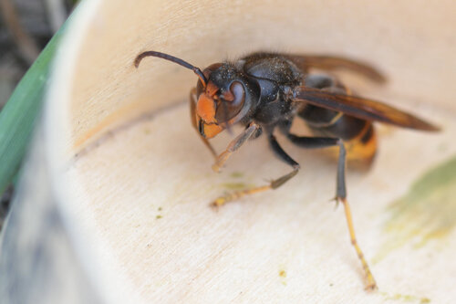
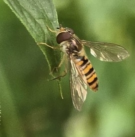
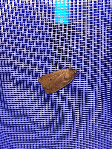
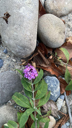
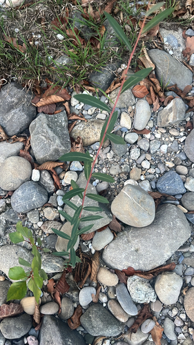
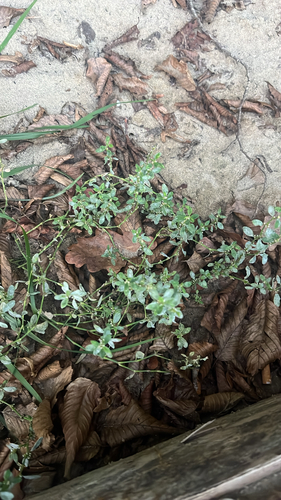
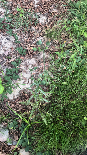
Research-grade observations from iNaturalist (within ~15 mi).
Events
Gallery
Official Identifiers
BFS — Swiss Federal Statistical Office
- BFS-Nr
- 4197
- Population (Wikidata)
- 875
- Wikidata
- Q65291
Gemeindenummer via Wikidata P771
Sources
- • Wikipedia
- • Open-Meteo (ERA5 reanalysis)
- • Wikidata
- • iNaturalist
- • Open-Meteo / sunrise-sunset.org
- • Wikipedia Pageviews API
- • Open Library
- • BFS — Swiss Federal Statistical Office — Gemeindenummer via Wikidata P771