Browse / Switzerland / Aargau / Hausen AG
Hausen AG
Aargauvillage

Hausen AG
Total population
3,774
Air quality index
Demographic figures from Swiss Federal Statistical Office. Overview below cites Wikipedia and may reference a different year.
City facts
Sister cities
Facts from Wikidata (CC0).
Overview
Hausen is a municipality in the district of Brugg in canton of Aargau in Switzerland.
Read more on WikipediaHistory & geography
History
Iron Age graves near Hausen indicate that the area has a long history. The current village is built over a Roman era town, of which the remains of buildings, roads and water lines (including one that is still in operation) are still visible. Modern Hausen is first mentioned in 1254 as Husen. Hausen was part of the original Habsburg lands (). Religiously it was part of the parish of Windisch until 1978 when the village built its own Reformed Church. Economically, agriculture (especially vineyards) dominated. Though since the 18th Century, the textile industry has also been important in the village. During the Middle Ages limestone was quarried and in the 2nd half of the 19th Century clay was mined. A bus service to Hausen has existed since 1955. After about 1950 the a strong housing industry led to population growth. With the growth, the infrastructure of the village was expanded. At the end of the 20th Century, transportation was a major source of conflict between the municipality and the canton.
Geography
Hausen has an area, , of . Of this area, or 21.8% is used for agricultural purposes, while or 47.4% is forested. Of the rest of the land, or 29.6% is settled (buildings or roads) and or 0.3% is either rivers or lakes. Of the built up area, industrial buildings made up 1.6% of the total area while housing and buildings made up 17.4% and transportation infrastructure made up 8.4%, while parks, green belts and sports fields made up 1.2%. 47.0% of the total land area is heavily forested. Of the agricultural land, 13.1% is used for growing crops and 7.5% is pastures, while 1.2% is used for orchards or vine crops. All the water in the municipality is in rivers and streams. The municipality is located in the Brugg district. It consists of the former linear village of Hausen bei Brugg.
Excerpted from the corresponding Wikipedia article (CC BY-SA).
Geography
Coordinates & boundaries from the US Census TIGER/Line shapefiles.
Climate
Air quality
Current readings from Open-Meteo Air Quality API (Copernicus CAMS European reanalysis).
Walkability
Amenities nearby
Wildlife & biodiversity
Most-observed species
- Meadow BrownManiola jurtina (Linnaeus, 1758) · Insecta17,514
- Annual FleabaneErigeron annuus (L.) Pers. · Magnoliopsida13,708
- European roe deerCapreolus capreolus (Linnaeus, 1758) · Mammalia13,196
- Common BluePolyommatus icarus (von Rottemburg, 1775) · Insecta11,281
- Marbled WhiteMelanargia galathea Linnaeus, 1758 · Insecta7,262
- Small HeathCoenonympha pamphilus (Linnaeus, 1758) · Insecta6,420
- red foxVulpes vulpes (Linnaeus, 1758) · Mammalia6,271
- bow-winged grasshopperChorthippus biguttulus (Linnaeus, 1758) · Insecta5,848
Citizen-science & research observations from the Global Biodiversity Information Facility (GBIF).
Earthquake history
Most recent
- M 3.7 — 2026-04-264 km N of Quarten, Switzerland
- M 3.5 — 2024-06-271 km SSW of Todtmoos, Germany
- M 4.2 — 2024-06-042 km NNW of Unteriberg, Switzerland
- M 3.9 — 2022-09-101 km WSW of Zimmersheim, France
- M 4 — 2020-10-255 km ESE of Ennenda, Switzerland
- M 3.1 — 2018-05-042 km W of Schliengen, Germany
Events from the USGS Earthquake Catalog (global) (FDSN Event Web Service).
Photos
Sights & places nearby
Notable people from here


People born within ~10 km, from Wikidata (CC0). Click any name for their Wikipedia article.
Nearby places in Aargau
- Mülligen1.2 mi away · pop. 1,108
- Windisch1.3 mi away · pop. 7,636
- Birmenstorf1.6 mi away · pop. 2,969
- Schinznach Bad2.3 mi away · pop. 1,298
- Birrhard2.3 mi away · pop. 705
- Hafen2.5 mi away
- Riniken2.6 mi away · pop. 1,478
- Wallbach2.7 mi away
- Brunegg2.8 mi away · pop. 810
- Ursprung3.1 mi away
- Rüfenach3.3 mi away · pop. 854
- Hinterrein3.3 mi away
Geography & sun
Elevation, sunrise/sunset and daylight from Open-Meteo. Solar climatology from NASA POWER.
Nearby airports
Public attention
Pageview totals from the Wikimedia Pageviews API.
Books about this place
Recent natural events nearby
Ground air-quality sensors
Recently spotted species
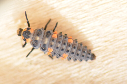
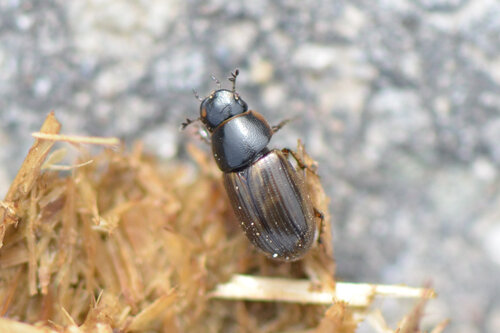
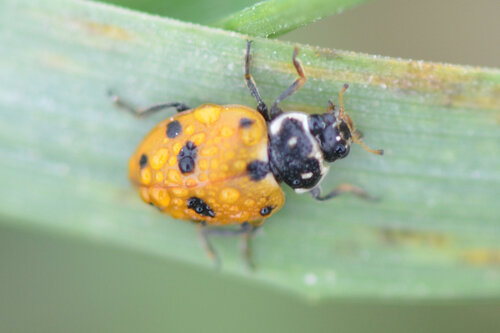
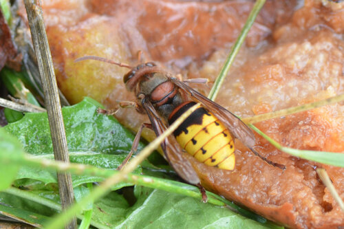
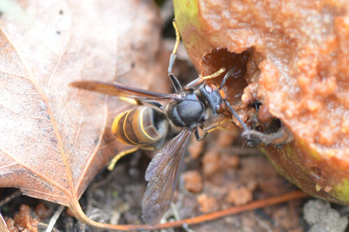
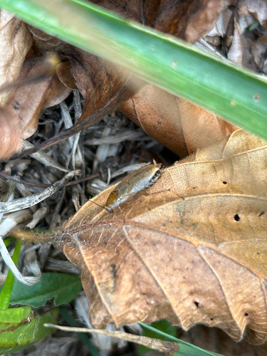
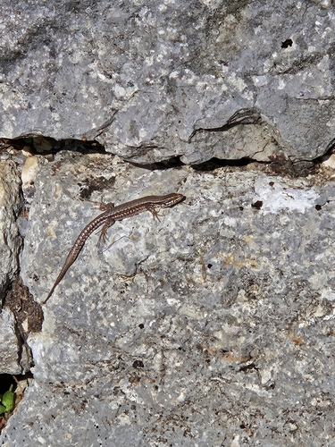
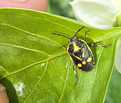
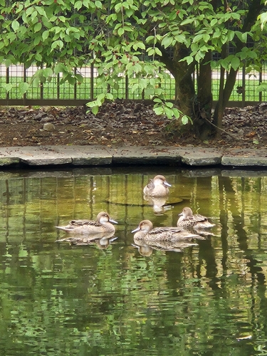
Research-grade observations from iNaturalist (within ~15 mi).
Events
Gallery
Sources
- • Wikipedia
- • Wikidata
- • Open-Meteo Air Quality (CAMS)
- • USGS Earthquake Catalog (global feed)
- • GBIF (Global Biodiversity Information Facility)
- • iNaturalist
- • Open-Elevation
- • Open-Meteo / sunrise-sunset.org
- • Wikipedia Pageviews API
- • Wikidata SPARQL (CC0) — population, area, elevation, inception, head of government, Commons image