Browse / Switzerland / Bern / Hilterfingen
Hilterfingen
Bernvillage

Hilterfingen
Total population
4,058
Demographic figures from Swiss Federal Statistical Office. Overview below cites Wikipedia and may reference a different year.
City facts
Sister cities
Facts from Wikidata (CC0).
Overview
Hilterfingen is a municipality in the administrative district of Thun in the canton of Bern in Switzerland.
Read more on WikipediaHistory & geography
History
Hilterfingen is first mentioned in 1175 as Hiltolfingen. The village church of St. Andreas is located near the municipal border. According to the "Strättliger Chronicle" it is one of the original twelve churches around Lake Thun. The first church was probably built in the 7th or 8th century. Three other churches were built on the site of the original church before the present building was built in 1727. The parish originally included Hilterfingen, Oberhofen, Heiligenschwendi, Teuffenthal (since 1936 part of the parish of Buchen) and the hamlet Ringoldswil (since 1870 part of the Sigriswil parish). Traditionally the residents of the village raised vineyards and grew crops on the sunny shores of Lake Thun and fished the lake. In 1858 they acquired rights to graze cattle in three alpine meadows, but dairy farming or cattle raising were never an important part of the economy. Beginning in the 1880s demand for Lake Thun wine dropped due to a number of factors and by 1910 the last vineyards around the lake closed. However, tourism around the lake was growing and the municipality embraced the new industry. The first hotel opened in Hilterfingen in 1894, followed by a number of others. A dock was built in 1925 for the steam ships that traveled around the lake and a sailing school opened ten years later. After World War II the population grew as commuters moved out of the cities and settled along the lake front. While a number of factories and businesses settled in the municipality, today about two-thirds of the population commutes to jobs in other cities. A middle school opened in 1895 and in 1917 merged with the school in Oberhofen. A teacher's training school opened in 1933 in Hünibach and a private secondary school was established in the village in 1968.
Geography
Hilterfingen has an area of . As of 2012, a total of or 8.5% is used for agricultural purposes, while or 48.2% is forested. The rest of the municipality is or 40.8% is settled (buildings or roads), or 1.1% is either rivers or lakes and or 0.4% is unproductive land. During the same year, housing and buildings made up 33.3% and transportation infrastructure made up 4.3%. while parks, green belts and sports fields made up 2.8%. All of the forested land area is covered with heavy forests. Of the agricultural land, 7.1% is pasturage. Of the water in the municipality, 0.7% is in lakes and 0.4% is in rivers and streams.
Excerpted from the corresponding Wikipedia article (CC BY-SA).
Geography
Coordinates & boundaries from the US Census TIGER/Line shapefiles.
Climate
Air quality
Walkability
Amenities nearby
Wildlife & biodiversity
Earthquake history
Photos
Sights & places nearby
Notable people from here


People born within ~10 km, from Wikidata (CC0). Click any name for their Wikipedia article.
Geography & sun
Elevation, sunrise/sunset and daylight from Open-Meteo. Solar climatology from NASA POWER.
Nearby airports
Public attention
Pageview totals from the Wikimedia Pageviews API.
Books about this place
Recent natural events nearby
Ground air-quality sensors
Recently spotted species
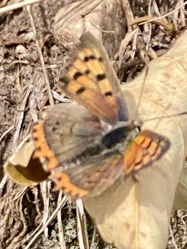

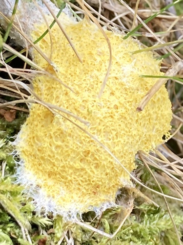
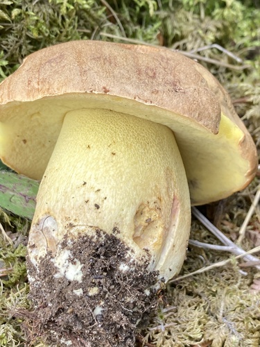
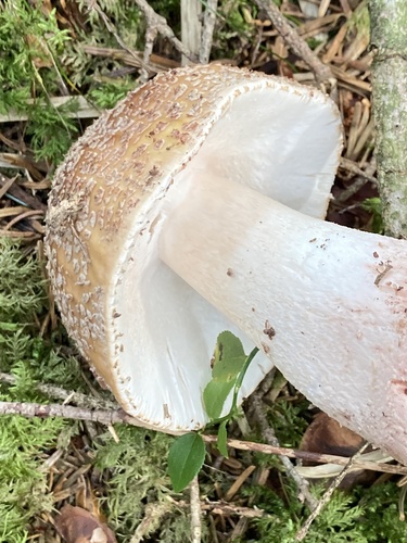

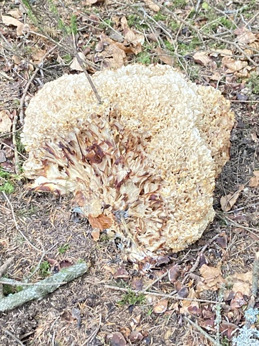

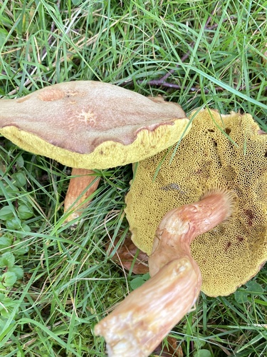
Research-grade observations from iNaturalist (within ~15 mi).
Events
Gallery
Official Identifiers
BFS — Swiss Federal Statistical Office
- BFS-Nr
- 929
- Population (Wikidata)
- 4,044
- Wikidata
- Q66042
Gemeindenummer via Wikidata P771
Sources
- • Wikipedia
- • Wikidata
- • iNaturalist
- • Open-Elevation
- • Open-Meteo / sunrise-sunset.org
- • Wikipedia Pageviews API
- • Wikidata SPARQL (CC0) — population, area, elevation, inception, head of government, Commons image
- • BFS — Swiss Federal Statistical Office — Gemeindenummer via Wikidata P771