Browse / Switzerland / Zurich / Hinwil
Hinwil
Zurichvillage

Hinwil
Total population
10,364
Demographic figures from Swiss Federal Statistical Office. Overview below cites Wikipedia and may reference a different year.
City facts
Sister cities
Facts from Wikidata (CC0).
Overview
Hinwil is a municipality in the district of Hinwil in the canton of Zürich in Switzerland.
Read more on WikipediaHistory & geography
History
The village Hinwil from which the later municipality took its name is first mentioned in 745 as Hunichinwilari, in a donation made by Beata and Landolt to the Abbey of Saint Gall. Hinwil was part of an Alamannic colony comprising also adjoining villages and settlements that were donated during the following century by descendants of Beata and Landolt or by other members of their clan to the same abbey, such as Hadaleihinchova (Hadlikon, donated in 775), Pozinhova (Bossikon, 829), Rimolteswilare (Ringwil, donated together with a church in 837) and Werinholveshusa (Wernetshausen, 867). The Alamanni were actually preceded by Roman inhabitants, as attested by the foundation walls of a Roman Villa dating from the 1st century CE and detected under the medieval church of Hinwil which is first mentioned in the second half of the 8th century. During the High Middle Ages, the village Hinwil was part of the Landvogtei of Grüningen and was then, after 1280, subordinated to the commandry of the Knights of St. John at Bubikon. In the process of the Reformation, the governance of Hinwil and other villages of the region was divided between Zürich and the Order of the Knights of St. John, with the influence of the latter being limited by an agreement to use only members of the Reformed Church of Zürich as their local governors. The economy of Hinwil was originally based on agriculture and rural handcraft. During the second half of the 16th century regional production of linen was introduced, from the 17th century on livestock farming and especially the early modern workshop-system of cloth production came to be dominant and, together with tourism in the wake of the railroad connection established in 1876, provided a certain prosperity in the 19th century and the years before World…
Geography
Hinwil has an area of . Of this area, 53.9% is used for agricultural purposes, while 26.8% is forested. Of the rest of the land, 17.6% is settled (buildings or roads) and the remainder (1.7%) is non-productive (rivers, glaciers or mountains). housing and buildings made up 11.5% of the total area, while transportation infrastructure made up the rest (6.1%). Of the total unproductive area, water (streams and lakes) made up 0.4% of the area. 14% of the total municipal area was undergoing some type of construction. The municipality is located in the Zürcher Oberland on the Bachtel mountain. It was formed in 1798 from the parish of the same name. It includes four independent villages; Hinwil, Ringwil, Wernetshausen and Hadlikon. The hamlets of Bossikon, Erlosen and Girenbad as well as about one hundred individual farms make up the rest of the municipality.
Excerpted from the corresponding Wikipedia article (CC BY-SA).
Geography
Coordinates & boundaries from the US Census TIGER/Line shapefiles.
Climate
Air quality
Walkability
Amenities nearby
Wildlife & biodiversity
Earthquake history
Photos
Sights & places nearby
Notable people from here


People born within ~10 km, from Wikidata (CC0). Click any name for their Wikipedia article.
Nearby places in Zurich
- Hadlikon1.1 mi away
- Ringwil1.1 mi away
- Wernetshausen1.1 mi away
- Girenbad1.5 mi away
- Dürnten1.6 mi away · pop. 7,392
- Oberdürnten1.8 mi away
- Tann2.2 mi away
- Breitenmatt2.3 mi away
- Wetzikon ZH2.5 mi away · pop. 26,462
- Bäretswil2.5 mi away · pop. 4,958
- Bubikon2.5 mi away · pop. 7,027
- Rüti ZH3.1 mi away · pop. 10,804
Geography & sun
Elevation, sunrise/sunset and daylight from Open-Meteo. Solar climatology from NASA POWER.
Nearby airports
Public attention
Pageview totals from the Wikimedia Pageviews API.
Books about Hinwil

Search results from Open Library.
Recent natural events nearby
Ground air-quality sensors
Recently spotted species
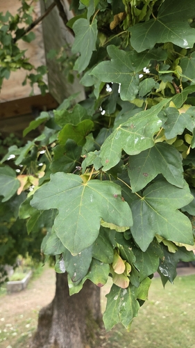
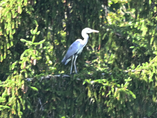
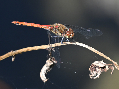
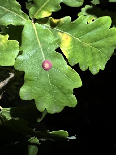
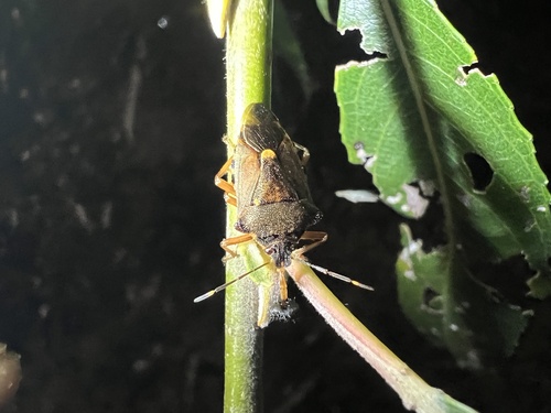
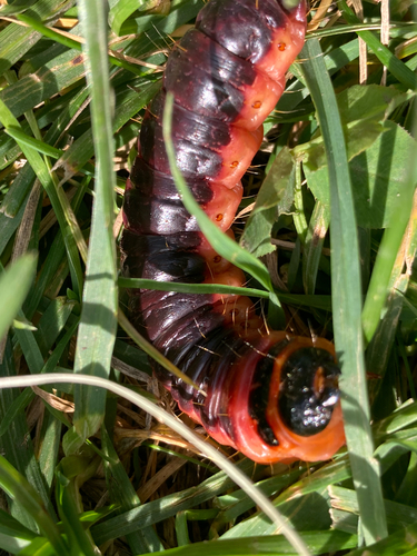
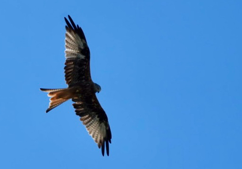
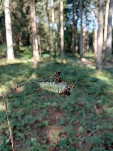
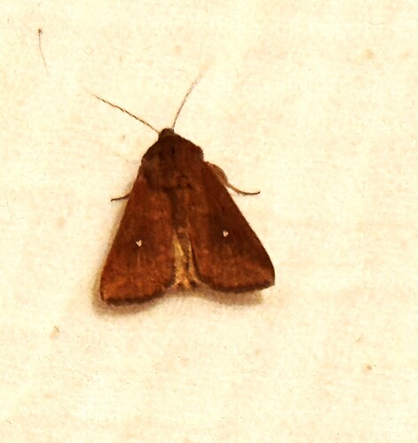
Research-grade observations from iNaturalist (within ~15 mi).
Events
Gallery
Official Identifiers
BFS — Swiss Federal Statistical Office
- BFS-Nr
- 117
- Population (Wikidata)
- 11,179
- Wikidata
- Q69383
Gemeindenummer via Wikidata P771
Sources
- • Wikipedia
- • Wikidata
- • iNaturalist
- • Open-Meteo / sunrise-sunset.org
- • Wikipedia Pageviews API
- • Open Library
- • Wikidata SPARQL (CC0) — population, area, elevation, inception, head of government, Commons image
- • BFS — Swiss Federal Statistical Office — Gemeindenummer via Wikidata P771