Browse / Switzerland / Bern / Koppigen
Koppigen
Bernvillage

Koppigen
Total population
2,265
Demographic figures from Swiss Federal Statistical Office. Overview below cites Wikipedia and may reference a different year.
City facts
Facts from Wikidata (CC0).
Overview
Koppigen is a municipality in the administrative district of Emmental in the canton of Bern in Switzerland.
Read more on WikipediaHistory & geography
History
Koppigen is first mentioned in 1139 and again around 1181-82 as Chopingen. In 1887, the village of Brechershäusern separated from Koppigen to become part of Wynigen. The municipal area was settled quite early in history. Neolithic items have been found at Öschberg and along the Ösch. Bronze Age items and a Hallstatt grave mound were found along the Utzenstorfstrasse. The village church and parsonage were built on the foundations of a Roman era farmhouse and other Roman sites have been found around the municipality. During the Middle Ages the village formed a ring divided by three roads around Koppigen Castle. The ministerialis (unfree knights in the service of a feudal overlord) family of Koppigen were pledged to the House of Zähringen. The Koppigen family were first mentioned in 1181, but died out in 1276. After their extinction, the castle and lands were held by several other Zähringen and Kyburg ministerialis families eventually landing, in the 14th century, in the hands of the Lords of Thornberg. In 1386, Peter of Thornberg supported the Habsburgs against the city of Bern in the Sempach War. During the war, Bernese troops attacked Koppigen Castle and burned it to the ground. In 1397, Peter of Thornberg, the last of the line, died. He left all his possessions in Koppigen to the newly established Carthusian Charterhouse of Thornberg, which he had founded shortly before. The Carthusians made Koppigen the center of a parish that included Hellsau, Alchenstorf, Höchstetten and Willadingen. After the Protestant Reformation, in 1528, Bern secularized the Charterhouse and all of its possessions. Bern placed a vogt and a high court in Koppigen and it became part of the district of Burgdorf. The nearby villages of Öschberg/Öschfurt and St. Niklaus were used as resting…
Geography
Koppigen has an area of . Of this area, or 58.9% is used for agricultural purposes, while or 23.1% is forested. Of the rest of the land, or 17.2% is settled (buildings or roads), or 0.6% is either rivers or lakes and or 0.1% is unproductive land. Of the built up area, industrial buildings made up 1.4% of the total area while housing and buildings made up 6.8% and transportation infrastructure made up 6.3%. while parks, green belts and sports fields made up 1.6%. Out of the forested land, all of the forested land area is covered with heavy forests. Of the agricultural land, 47.5% is used for growing crops and 9.2% is pastures, while 2.2% is used for orchards or vine crops. All the water in the municipality is flowing water.
Excerpted from the corresponding Wikipedia article (CC BY-SA).
Geography
Coordinates & boundaries from the US Census TIGER/Line shapefiles.
Climate
Air quality
Walkability
Amenities nearby
Wildlife & biodiversity
Most-observed species
- European roe deerCapreolus capreolus (Linnaeus, 1758) · Mammalia11,827
- red foxVulpes vulpes (Linnaeus, 1758) · Mammalia7,329
- Meadow BrownManiola jurtina (Linnaeus, 1758) · Insecta3,734
- Eurasian beaverCastor fiber Linnaeus, 1758 · Mammalia2,841
- European badgerMeles meles (Linnaeus, 1758) · Mammalia2,652
- Common ToadBufo bufo (Linnaeus, 1758) · Amphibia2,333
- common frogRana temporaria Linnaeus, 1758 · Amphibia2,227
- Alcon BlueMaculinea alcon (Denis & Schiffermüller), 1776 · Insecta2,135
Citizen-science & research observations from the Global Biodiversity Information Facility (GBIF).
Earthquake history
Most recent
- M 4.1 — 2025-07-214 km E of Frutigen, Switzerland
- M 3.5 — 2024-06-271 km SSW of Todtmoos, Germany
- M 4.2 — 2024-06-042 km NNW of Unteriberg, Switzerland
- M 4.4 — 2023-03-221 km NW of Pont-de-Roide, France
- M 3.9 — 2022-09-101 km WSW of Zimmersheim, France
- M 2.7 — 2022-08-234 km S of Turtmann, Switzerland
Events from the USGS Earthquake Catalog (global) (FDSN Event Web Service).
Photos
Sights & places nearby
Notable people from here


People born within ~10 km, from Wikidata (CC0). Click any name for their Wikipedia article.
Nearby places in Bern
- Willadingen1.2 mi away · pop. 203
- Oberösch1.7 mi away · pop. 104
- Zielebach2.2 mi away · pop. 335
- Aefligen3.3 mi away · pop. 1,067
- Rüdtligen3.4 mi away
- Alchenflüh3.5 mi away
- Wynigen3.6 mi away · pop. 2,037
- Schalunen3.9 mi away
- Hermiswil4.8 mi away · pop. 96
- Kernenried4.8 mi away · pop. 527
- Fraubrunnen4.8 mi away · pop. 1,607
- Zauggenried5 mi away · pop. 301
Geography & sun
Elevation, sunrise/sunset and daylight from Open-Meteo. Solar climatology from NASA POWER.
Nearby airports
Public attention
Pageview totals from the Wikimedia Pageviews API.
Books about this place
Recent natural events nearby
Ground air-quality sensors
Recently spotted species
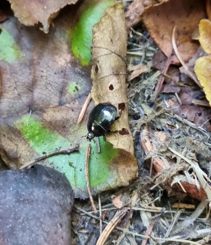
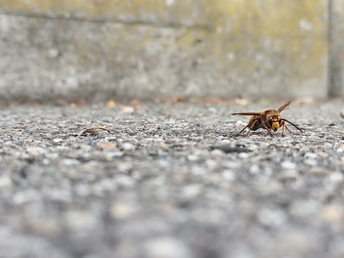
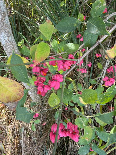
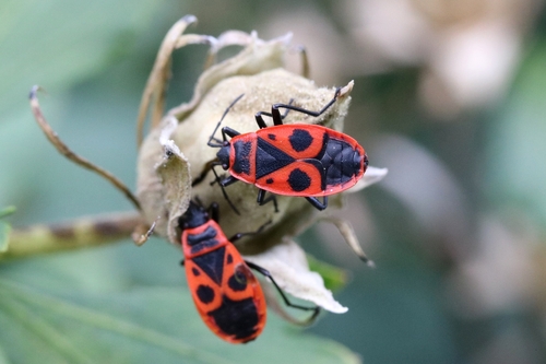
Research-grade observations from iNaturalist (within ~15 mi).
Events
Gallery
Official Identifiers
BFS — Swiss Federal Statistical Office
- BFS-Nr
- 413
- Population (Wikidata)
- 2,095
- Wikidata
- Q66668
Gemeindenummer via Wikidata P771
Sources
- • Wikipedia
- • Wikidata
- • USGS Earthquake Catalog (global feed)
- • GBIF (Global Biodiversity Information Facility)
- • iNaturalist
- • Open-Meteo / sunrise-sunset.org
- • Wikipedia Pageviews API
- • Wikidata SPARQL (CC0) — population, area, elevation, inception, head of government, Commons image
- • BFS — Swiss Federal Statistical Office — Gemeindenummer via Wikidata P771