Browse / Switzerland / Neuchâtel / La Chaux-de-Fonds
La Chaux-de-Fonds
Neuchâteltown

La Chaux-de-Fonds
Total population
39,027
Demographic figures from Swiss Federal Statistical Office. Overview below cites Wikipedia and may reference a different year.
City facts
Sister cities
Facts from Wikidata (CC0).
Overview
La Chaux-de-Fonds is a Swiss town and municipality in the canton of Neuchâtel. It is located in the Jura Mountains at an altitude of 992 metres, a few kilometres south of the French border. After Geneva, Lausanne, Biel/Bienne, and Fribourg, it is the fifth-largest city in the Romandie, the French-speaking part of the country, with a population of 36,915.
Read more on WikipediaHistory & geography
History
The region was first inhabited around 10,000 years ago (Mesolithic). A skull and other traces have been found in caves nearby. The name is of uncertain origin, "Chaux" perhaps being of pre-IE origin and meaning -arid plateau, while de Fonds being intended to connect it with Fontaines in Val-de-Ruz. The region was under the authority of the lords of Valangin. In the 15th and 16th centuries, the second wave of colonization came from the so-called Clos de la Franchise (the valleys of Le Locle and La Sagne). Agriculture was the main activity but the village remained small. In 1531 there were only about 35 people living there. The first church was built in 1528. By 1530, La Chaux-de-Fonds, like the rest of the Valangin lands, converted to the new Reformed faith. The Lord of Valanginian, René de Challant, fixed the boundaries of the parish in 1550. The church and parish provided a political structure and a small community of Valanginian citizens, free farmers and peasants grew up around the church. By 1615 there were 355 people living in the village. In 1616, the low and middle jurisdiction over La Chaux-de-Fonds moved to Le Locle and La Sagne, while the high court remained in Valanginian. Agriculture, supplemented by mills on the banks of the Doubs, continued to dominate. However, at the end of the 16th century, the city became an important crossroad between Neuchâtel, Franche-Comté and the Bishopric of Basel. The central avenue is named the Avenue Léopold Robert. In the second half of the 18th century, Swiss watch-making was on the rise. Parallel to this and despite residency bans Jewish traders began to settle in the region and became involved in the industry. From 1848 onwards restrictions on residence and settlement of Jews were gradually lifted in the Canton…
Geography
La Chaux-de-Fonds has an area, , of . Of this area, or 54.7% is used for agricultural purposes, while or 27.9% is forested. Of the rest of the land, or 16.7% is settled (buildings or roads), or 0.5% is either rivers or lakes and or 0.2% is unproductive land. Of the built-up area, industrial buildings made up 1.6% of the total area, housing and buildings 8.4%, transport infrastructure 4.6% and parks, green belts and sports fields 1.1%. 24.2% of the total land area is heavily forested and 3.7% is covered with orchards or small clusters of trees. Of the agricultural land, 0.4% is used for growing crops, 40.0% is pasture and 14.2% is alpine pasture. All the water in the municipality is flowing water. It is located in the Jura Mountains near the French border at an elevation of about .
Excerpted from the corresponding Wikipedia article (CC BY-SA).
Geography
Coordinates & boundaries from the US Census TIGER/Line shapefiles.
Climate
Air quality
Walkability
Amenities nearby
Wildlife & biodiversity
Most-observed species
- Meadow BrownManiola jurtina (Linnaeus, 1758) · Insecta4,687
- European roe deerCapreolus capreolus (Linnaeus, 1758) · Mammalia4,105
- Carrion CrowCorvus corone Linnaeus, 1758 · Aves3,828
- red foxVulpes vulpes (Linnaeus, 1758) · Mammalia3,542
- Yellow-legged GullLarus michahellis J.F.Naumann, 1840 · Aves3,017
- Small TortoiseshellAglais urticae (Linnaeus, 1758) · Insecta2,931
- Eurasian BlackbirdTurdus merula Linnaeus, 1758 · Aves2,614
- Yellow-legged hornetVespa velutina Lepeletier, 1836 · Insecta2,612
Citizen-science & research observations from the Global Biodiversity Information Facility (GBIF).
Earthquake history
Most recent
- M 4.1 — 2025-07-214 km E of Frutigen, Switzerland
- M 4.4 — 2023-03-221 km NW of Pont-de-Roide, France
- M 3.9 — 2022-09-101 km WSW of Zimmersheim, France
- M 4.1 — 2021-12-242 km WSW of Blamont, France
- M 3.1 — 2018-05-042 km W of Schliengen, Germany
- M 4.1 — 2017-07-017 km E of Châtel-Saint-Denis, Switzerland
Events from the USGS Earthquake Catalog (global) (FDSN Event Web Service).
Photos
Sights & places nearby
Notable people from here
Geography & sun
Nearby airports
Public attention
Books about this place
Recent natural events nearby
Ground air-quality sensors
Recently spotted species
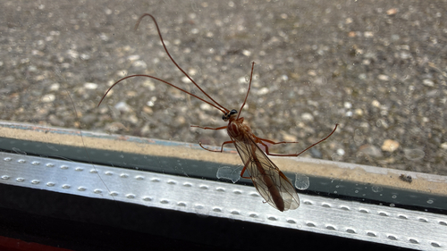
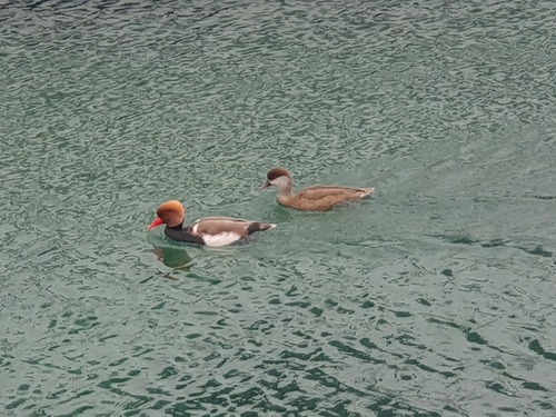
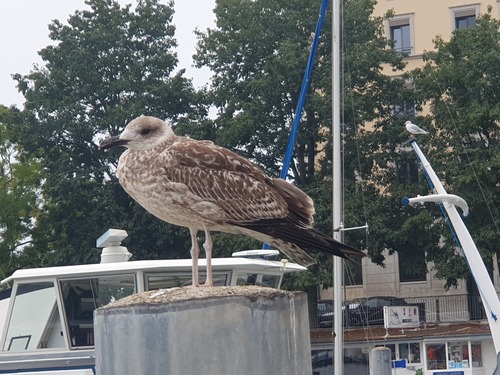
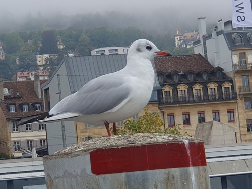
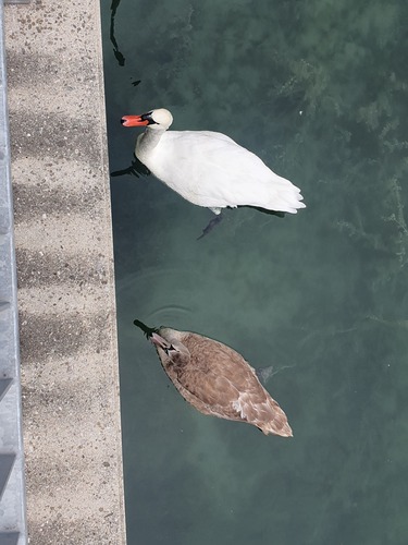
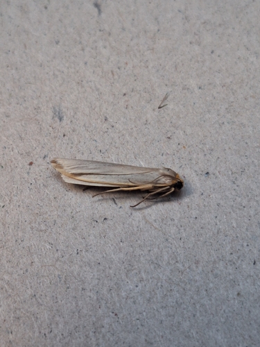
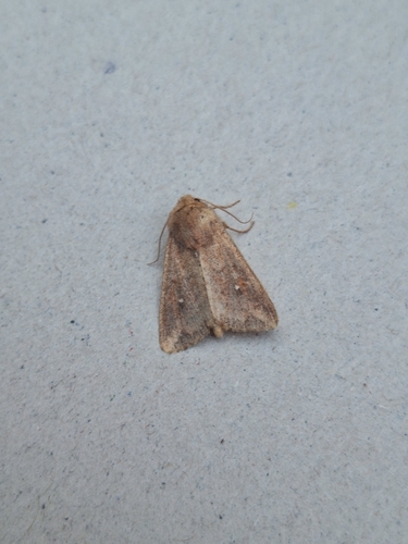
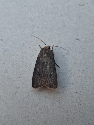
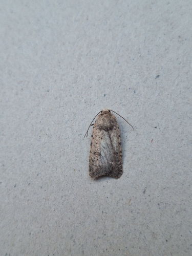
Research-grade observations from iNaturalist (within ~15 mi).
Events
Gallery
Official Identifiers
BFS — Swiss Federal Statistical Office
- BFS-Nr
- 6421
- Population (Wikidata)
- 37,233
- Wikidata
- Q68124
Gemeindenummer via Wikidata P771
Sources
- • Wikipedia
- • Wikidata
- • USGS Earthquake Catalog (global feed)
- • GBIF (Global Biodiversity Information Facility)
- • iNaturalist
- • Wikidata SPARQL (CC0) — population, area, elevation, inception, head of government, Commons image
- • BFS — Swiss Federal Statistical Office — Gemeindenummer via Wikidata P771