Browse / Switzerland / Bern / La Heutte
La Heutte
Bernvillage

La Heutte
Total population
485
Demographic figures from Swiss Federal Statistical Office. Overview below cites Wikipedia and may reference a different year.
City facts
Facts from Wikidata (CC0).
Overview
La Heutte is a former municipality in the Jura bernois administrative district in the canton of Bern in Switzerland. It is located in the French-speaking Bernese Jura. On 1 January 2015 the former municipalities of Péry and La Heutte merged to form the new municipality of Péry-La Heutte.
Read more on WikipediaHistory & geography
History
La Heutte was first mentioned in 1393 as Hütte. It was first called by the current name in 1727. A glass-hut or glassworks was mentioned in the area as part of a fief of the d'Orsans family in 1370. While a village was not mentioned then, by 1393 a village had grown around the glassworks. It was part of the seigniory of Erguel in the Diocese of Basel. It was part of the parish of Péry. So La Heutte adopted the Protestant Reformation in 1530, when Biel converted the entire parish of Péry to the new faith. During the 18th century, Biel attempted to expand its power, which caused frequent conflicts with the neighboring villages, including La Heutte. The first glass factory, at Le Van north of the village, dates from before 1370. Another glass factory opened in the valley at the end of the 15th century and remained in operation until the early 17th century. Between 1650 and 1750 the village expanded toward the Suze river as the population grew. A thriving pottery industry and a large mill developed along the river. The first school was built in the 1839. In 1876 a train station was built in the village, which encouraged the growth of the watch industry. Two years later, the Ammann watch factory opened in the old Bendit mill. In 1895 the Urania Watch Company replaced Ammann in the mill. It was, in turn, replaced by the Weber wire drawing factory in 1938. During a watchmaking boom between 1950 and 1974, numerous small watch and watch part workshops opened in the village. The A16 motorway connected La Heutte with Biel in 1985, transforming the village into a bedroom community. In 1995 about a dozen tracks of three-toed dinosaurs were discovered in the municipality.
Geography
La Heutte is located in the lower part of Vallon de Saint-Imier, from the town of Biel/Bienne. It is located in the narrow Suze valley that lies on the old Roman road between Augusta Raurica (Augst) und Petinesca (Studen). Before the merger, La Heutte had a total area of . Of the built up area, housing and buildings made up 1.9% and transportation infrastructure made up 4.0%. Power and water infrastructure as well as other special developed areas made up 2.8% of the area Out of the forested land, 62.7% of the total land area is heavily forested and 2.1% is covered with orchards or small clusters of trees. Of the agricultural land, 5.9% is used for growing crops and 9.5% is pastures and 9.0% is used for alpine pastures. All the water in the municipality is flowing water.
Excerpted from the corresponding Wikipedia article (CC BY-SA).
Geography
Coordinates & boundaries from the US Census TIGER/Line shapefiles.
Climate
Air quality
Walkability
Amenities nearby
Wildlife & biodiversity
Earthquake history
Photos
Sights & places nearby
Notable people from here


People born within ~10 km, from Wikidata (CC0). Click any name for their Wikipedia article.
Nearby places in Bern
- Tavannes2.4 mi away · pop. 3,522
- Sonceboz-Sombeval2.6 mi away · pop. 1,917
- Plagne2.9 mi away · pop. 361
- Magglingen3.5 mi away · pop. 574
- Vauffelin3.5 mi away · pop. 455
- Biel/Bienne3.6 mi away · pop. 56,378
- Loveresse3.6 mi away · pop. 348
- Pontenet3.8 mi away · pop. 222
- Saicourt3.8 mi away · pop. 604
- Saules3.8 mi away · pop. 157
- Malleray3.9 mi away · pop. 1,999
- Bévilard4.2 mi away · pop. 1,741
Geography & sun
Elevation, sunrise/sunset and daylight from Open-Meteo. Solar climatology from NASA POWER.
Nearby airports
Public attention
Pageview totals from the Wikimedia Pageviews API.
Books about this place
Recent natural events nearby
Ground air-quality sensors
Recently spotted species
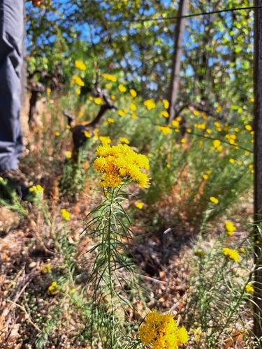
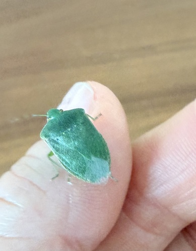
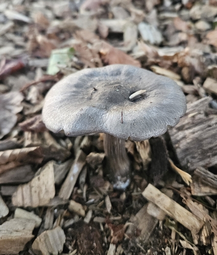
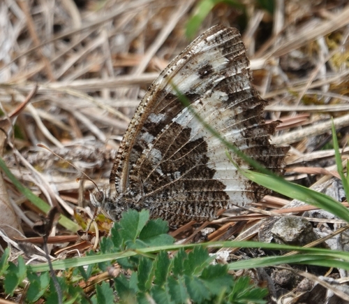
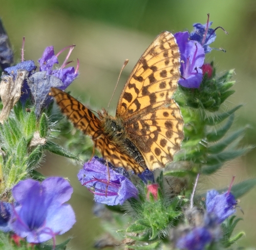
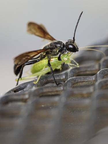
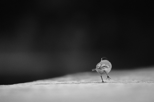
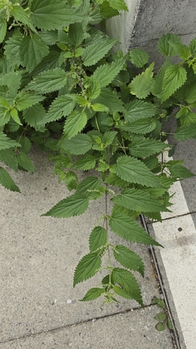
Research-grade observations from iNaturalist (within ~15 mi).
Events
Gallery
Official Identifiers
BFS — Swiss Federal Statistical Office
- BFS-Nr
- 436
- Wikidata
- Q66489
Gemeindenummer via Wikidata P771
Sources
- • Wikipedia
- • Wikidata
- • iNaturalist
- • Open-Meteo / sunrise-sunset.org
- • Wikipedia Pageviews API
- • BFS — Swiss Federal Statistical Office — Gemeindenummer via Wikidata P771