Browse / Switzerland / Aargau / Leuggern
Leuggern
Aargauvillage

Leuggern
Total population
2,143
Demographic figures from Swiss Federal Statistical Office. Overview below cites Wikipedia and may reference a different year.
City facts
Facts from Wikidata (CC0).
Overview
Leuggern is a municipality in the district of Zurzach in the canton of Aargau in Switzerland.
Read more on WikipediaHistory & geography
History
The remains of a Roman era Rhine fortifications watchtower have been discovered in Felsenau. The modern municipality of Leuggern is first mentioned in 1231 as Lutgern. The conquest of Aargau in 1415 brought the two religious houses under the vogt of the Acht Orte of the Swiss Confederation. Among the important priors in Leuggern was Franz von Sonnenberg of Lucerne, whose 1678 coat of arms adorns the gatehouse. Leuggern remained in the possession of the Order until 1806. At that time the Commandry building and property went to the Canton of Aargau. The building came into private hands in 1819 and in 1895 it served as a hospital for the elderly and sick. It was a forerunner of the District Hospital which opened in 1897. The parish of Leuggern was essentially identical with the Amt of Leuggern and until 1816 with the municipality of Greater Leuggern. In 1816 the village of Böttstein and Oberleibstadt separated from Greater Leuggern to form independent municipalities. However, the Catholic parish remained the same size until 1880, when the parish of Oberleibstadt separated. The neo-classical-Gothic Revival village church was built in 1851–53 by Caspar Joseph Jeuch. built. Until 1971, within the political municipality of Leuggern, there were five different Bürgergemeinden that held separate meetings over their infrastructure tasks. The district school was built in 1864. The Aare River often overran its banks and flooded the village of Gippingen and the adjacent farmland until 1887–1904 when the Aare River correction changed its course. Between 1931 and 1935 a dam was built over the Aare between Leuggern and Klingnau for the hydroelectric power plant at Klingnau. The ferries in Kleindöttingen and Felsenau were replaced by bridges in 1892 and 1935. In 1926, a Postauto…
Geography
The municipality is located in the Zurzach district, on the western side of the Aare river. It consists of the villages of Leuggern, Gippingen, Hettenschwil and Etzwiland as well as the hamlets of Felsenau, Hagenfirst, Fehrental and Schlatt. Leuggern has an area, , of . Of this area, or 47.3% is used for agricultural purposes, while or 37.1% is forested. Of the rest of the land, or 9.1% is settled (buildings or roads), or 6.1% is either rivers or lakes and or 0.2% is unproductive land. Of the built up area, housing and buildings made up 4.5% and transportation infrastructure made up 3.3%. Out of the forested land, all of the forested land area is covered with heavy forests. Of the agricultural land, 32.4% is used for growing crops and 10.6% is pastures, while 4.3% is used for orchards or vine crops. Of the water in the municipality, 3.9% is in lakes and 2.3% is in rivers and streams.
Excerpted from the corresponding Wikipedia article (CC BY-SA).
Geography
Coordinates & boundaries from the US Census TIGER/Line shapefiles.
Climate
Air quality
Walkability
Amenities nearby
Wildlife & biodiversity
Most-observed species
- Meadow BrownManiola jurtina (Linnaeus, 1758) · Insecta10,633
- European roe deerCapreolus capreolus (Linnaeus, 1758) · Mammalia6,464
- Annual FleabaneErigeron annuus (L.) Pers. · Magnoliopsida6,171
- Marbled WhiteMelanargia galathea Linnaeus, 1758 · Insecta5,377
- Common BluePolyommatus icarus (von Rottemburg, 1775) · Insecta4,669
- Small HeathCoenonympha pamphilus (Linnaeus, 1758) · Insecta3,535
- red foxVulpes vulpes (Linnaeus, 1758) · Mammalia3,072
- bow-winged grasshopperChorthippus biguttulus (Linnaeus, 1758) · Insecta2,899
Citizen-science & research observations from the Global Biodiversity Information Facility (GBIF).
Earthquake history
Most recent
- M 3.7 — 2026-04-264 km N of Quarten, Switzerland
- M 3.5 — 2024-06-271 km SSW of Todtmoos, Germany
- M 4.2 — 2024-06-042 km NNW of Unteriberg, Switzerland
- M 3.9 — 2022-09-101 km WSW of Zimmersheim, France
- M 4 — 2020-10-255 km ESE of Ennenda, Switzerland
- M 3.1 — 2018-05-042 km W of Schliengen, Germany
Events from the USGS Earthquake Catalog (global) (FDSN Event Web Service).
Photos
Sights & places nearby
Notable people from here
Nearby places in Aargau
Geography & sun
Elevation, sunrise/sunset and daylight from Open-Meteo. Solar climatology from NASA POWER.
Nearby airports
Public attention
Pageview totals from the Wikimedia Pageviews API.
Books about Leuggern
Search results from Open Library.
Recent natural events nearby
Ground air-quality sensors
Recently spotted species
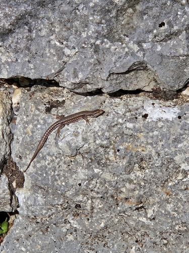
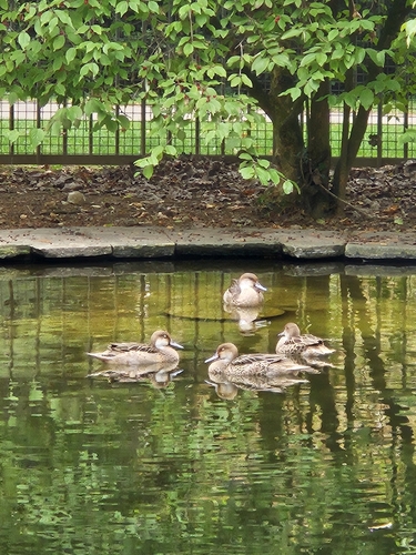
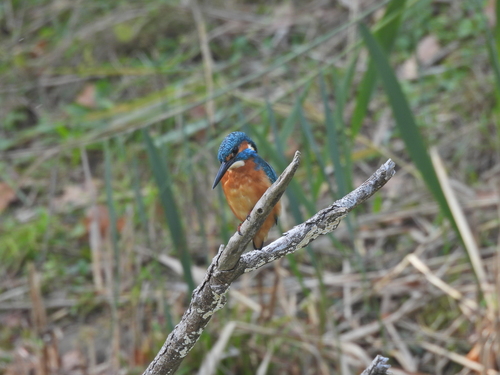
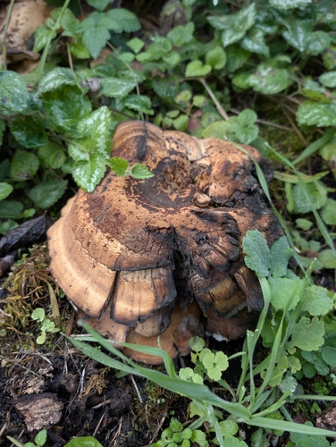
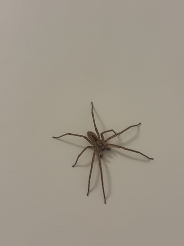
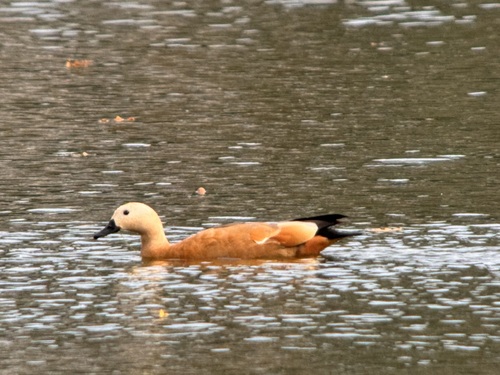
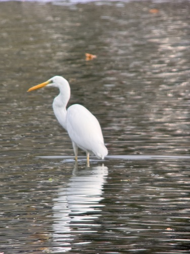
Research-grade observations from iNaturalist (within ~15 mi).
Events
Gallery
Official Identifiers
BFS — Swiss Federal Statistical Office
- BFS-Nr
- 4313
- Population (Wikidata)
- 2,148
- Wikidata
- Q66718
Gemeindenummer via Wikidata P771
Sources
- • Wikipedia
- • Wikidata
- • USGS Earthquake Catalog (global feed)
- • GBIF (Global Biodiversity Information Facility)
- • iNaturalist
- • Open-Elevation
- • Open-Meteo / sunrise-sunset.org
- • Wikipedia Pageviews API
- • Open Library
- • Wikidata SPARQL (CC0) — population, area, elevation, inception, head of government, Commons image
- • BFS — Swiss Federal Statistical Office — Gemeindenummer via Wikidata P771