Browse / Switzerland / Valais / Leuk
Leuk
Valaisvillage

Leuk
Total population
3,724
Demographic figures from Swiss Federal Statistical Office. Overview below cites Wikipedia and may reference a different year.
City facts
Sister cities
Facts from Wikidata (CC0).
Overview
Leuk is a municipality in the district of Leuk in the canton of Valais in Switzerland. On 1 January 2013, the former municipality of Erschmatt merged into the municipality of Leuk.
Read more on WikipediaHistory & geography
History
Leuk is first mentioned in 515 as villa de Leuca. Leuk was already inhabited in the pre-Roman era. Scattered La Tène era graves with poppy-head pins, brooches and a belt hook have been found in Leuk. In the 6th century it belonged to the demesne of the King of Burgundy Sigismund, who donated it to the Abbey of Saint-Maurice. The local population of Romanized Celts gradually became Germanized around the turn of the millennium due to invading Alamanni. However, even by the 14th century there was still a strong Roman minority in Leuk. The town's first church dates from the 6th or 7th century and probably originated from a Roman building. This church was replaced in the 9th century by a larger building. It was replaced again in the 11th and 12th centuries. The romanesque bell tower of the current church is from this third building. The current church was built by Ulrich Ruffiner in the gothic style. It was richly furnished with altars and sculptures and was consecrated in 1494 as St. Stephan's Church by Bishop Jost von Silenen. In the charnel house, with its dance of death fresco, 26 statues dating from the 13th to 16th centuries were discovered in 1982 under about a meter (three feet) of bones. The statues including an excellent Pietà from the 14th century. In addition to St. Stephan's parish church there were several other churches in town. They include a pilgrimage chapel at Thel and the Ringacker chapel, which was built in 1690-94 above a plague cemetery. A Marian shrine, whose hermitage was inhabited by a hermit around 1720–1885, is one of the most important baroque rooms of the Valais. In the Early and High Middle Ages Leuk changed owners repeatedly until 1138 when it finally came under the authority of the Bishop of Sion. The new rulers encouraged…
Excerpted from the corresponding Wikipedia article (CC BY-SA).
Geography
Coordinates & boundaries from the US Census TIGER/Line shapefiles.
Climate
Air quality
Walkability
Amenities nearby
Wildlife & biodiversity
Earthquake history
Photos
Sights & places nearby
Notable people from here
Nearby places in Valais
Geography & sun
Elevation, sunrise/sunset and daylight from Open-Meteo. Solar climatology from NASA POWER.
Nearby airports
Public attention
Pageview totals from the Wikimedia Pageviews API.
Books about this place
Recent natural events nearby
Ground air-quality sensors
Recently spotted species
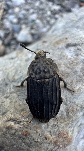
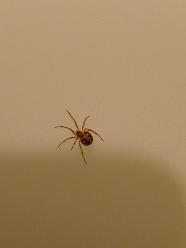
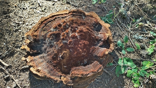
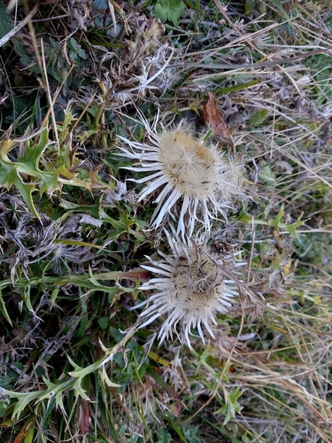
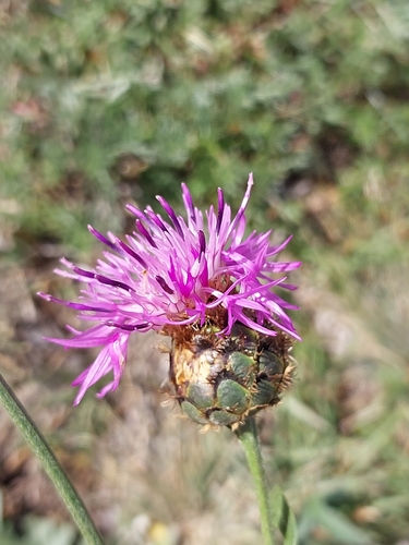
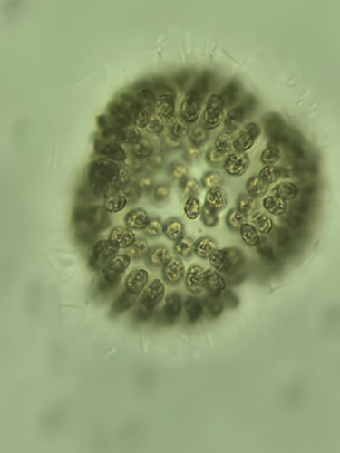
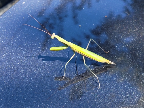
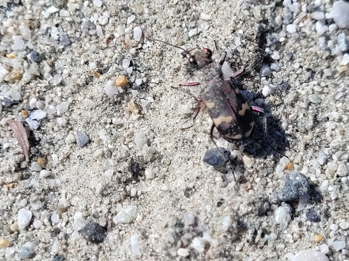
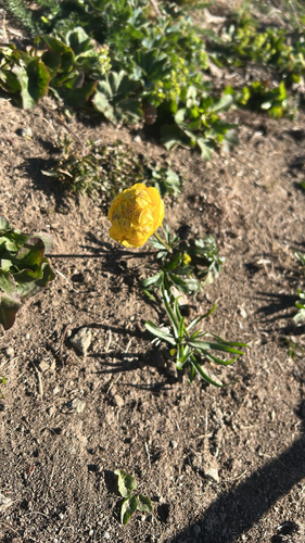
Research-grade observations from iNaturalist (within ~15 mi).
Events
Gallery
Official Identifiers
BFS — Swiss Federal Statistical Office
- BFS-Nr
- 6110
- Population (Wikidata)
- 3,948
- Wikidata
- Q69590
Gemeindenummer via Wikidata P771
Sources
- • Wikipedia
- • Wikidata
- • iNaturalist
- • Open-Meteo / sunrise-sunset.org
- • Wikipedia Pageviews API
- • Wikidata SPARQL (CC0) — population, area, elevation, inception, head of government, Commons image
- • BFS — Swiss Federal Statistical Office — Gemeindenummer via Wikidata P771