Browse / Switzerland / Bern / Lotzwil
Lotzwil
Bernvillage

Lotzwil
Demographic figures from Swiss Federal Statistical Office. Overview below cites Wikipedia and may reference a different year.
City facts
Sister cities
Facts from Wikidata (CC0).
Overview
Lotzwil is a municipality in the district of Oberaargau in the canton of Bern in Switzerland.
Read more on WikipediaHistory & geography
History
Lotzwil is first mentioned in 1194 as Locewillare. During the Middle Ages the major landowners in Lotzwil included St. Urban's Abbey and the Thunstetten Commandery. The area was ruled by the Baron of Langenstein until the extinction of that family, followed by the Utzigen and Balm families, then after 1370 the Grünenberg and Aarburg. In 1431 Thüring von Aarburg sold the village to Burgdorf. Burgdorf combined Lotzwil, Gutenburg, Kleindietwil, Rütschelen, Thörigen and Bettenhausen together into the bailiwick of Lotzwil and made the bailiff a member of Burgdorf's town council. Following the 1798 French invasion, the bailiwick was dissolved and the village became part of the District of Langenthal. In 1803 it became part of the Aarwangen District. The village church was first mentioned in 1194. The current church was built in 1682–83 on the foundations of earlier churches from the Early and Late Middle Ages. In 1259 the Barons of Balm and Grünenberg gave the church to the Thunstetten Commandery. After the Protestant Reformation in 1528 the church was under Bernese authority. During the 18th century, the economic boom in nearby Langenthal spread to Lotzwil. Linen spinning and weaving started as a cottage industry in the village. By the 19th century there were small linen factories and other small businesses. The village continued to grow after the opening of the Langenthal-Huttwil-Wolhusen rail line in 1889. Several factories opened including a wooden shoe factory in 1875, a weaving machine factory in 1889, leather processing in 1930 and later a kitchen appliance factory. Today the only remaining old factory makes bricks. Starting in the 1960s Lotzwil became a commuter town for Langenthal and several new housing developments were built for the growing population. In…
Geography
Lotzwil has an area of . Of this area, or 47.5% is used for agricultural purposes, while or 37.2% is forested. Of the rest of the land, or 15.5% is settled (buildings or roads), or 0.2% is either rivers or lakes. Of the built up area, industrial buildings made up 1.8% of the total area while housing and buildings made up 8.5% and transportation infrastructure made up 3.9%. Out of the forested land, all of the forested land area is covered with heavy forests. Of the agricultural land, 32.0% is used for growing crops and 13.5% is pastures, while 1.9% is used for orchards or vine crops. All the water in the municipality is flowing water. Lotzwil has a railway station, served by lines S6 and S7 of the Lucerne S-Bahn (Langenthal - Lucerne). The nearest motorway exits are in Wangen an der Aare (A1 motorway) and Reiden (A2 motorway).
Excerpted from the corresponding Wikipedia article (CC BY-SA).
Geography
Coordinates & boundaries from the US Census TIGER/Line shapefiles.
Climate
Air quality
Walkability
Amenities nearby
Wildlife & biodiversity
Earthquake history
Photos
Sights & places nearby
Notable people from here


People born within ~10 km, from Wikidata (CC0). Click any name for their Wikipedia article.
Nearby places in Bern
- Gutenburg0.6 mi away · pop. 115
- Obersteckholz1.4 mi away · pop. 412
- Rütschelen1.4 mi away · pop. 566
- Thunstetten1.7 mi away · pop. 3,066
- Busswil2 mi away · pop. 195
- Untersteckholz2.8 mi away · pop. 166
- Thörigen3.1 mi away · pop. 1,046
- Reisiswil3.2 mi away · pop. 188
- Kleindietwil3.2 mi away · pop. 536
- Meiniswil3.6 mi away
- Ochlenberg3.8 mi away · pop. 641
- Ursenbach3.8 mi away · pop. 888
Geography & sun
Elevation, sunrise/sunset and daylight from Open-Meteo. Solar climatology from NASA POWER.
Nearby airports
Public attention
Pageview totals from the Wikimedia Pageviews API.
Books about this place
Recent natural events nearby
Ground air-quality sensors
Recently spotted species
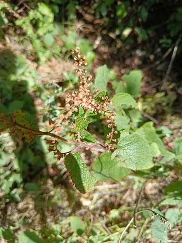
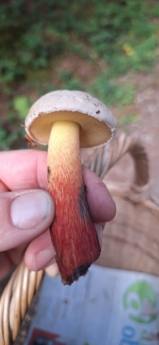
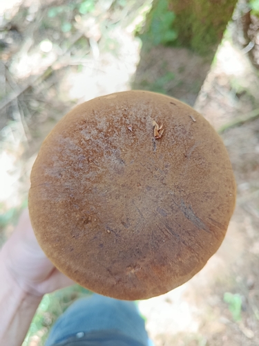
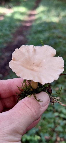
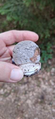
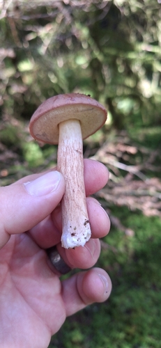
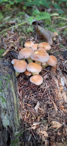
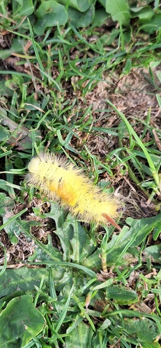
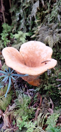
Research-grade observations from iNaturalist (within ~15 mi).
Events
Gallery
Official Identifiers
BFS — Swiss Federal Statistical Office
- BFS-Nr
- 331
- Population (Wikidata)
- 2,565
- Wikidata
- Q66846
Gemeindenummer via Wikidata P771
Sources
- • Wikipedia
- • Wikidata
- • iNaturalist
- • Open-Meteo / sunrise-sunset.org
- • Wikipedia Pageviews API
- • BFS — Swiss Federal Statistical Office — Gemeindenummer via Wikidata P771