Browse / Switzerland / Vaud / Lucens
Lucens
Vaudvillage

Lucens
Total population
4,133
Demographic figures from Swiss Federal Statistical Office. Overview below cites Wikipedia and may reference a different year.
City facts
Facts from Wikidata (CC0).
Overview
Lucens is a municipality in the Broye-Vully district in the canton of Vaud in Switzerland. In 2017 the former municipalities of Brenles, Chesalles-sur-Moudon, Cremin, Forel-sur-Lucens and Sarzens merged into the municipality of Lucens.
Read more on WikipediaHistory & geography
History
Lucens is first mentioned in 964 as in villa Losingus. It was formerly known by the German name Losingen. Following the accident, the reactor was decommissioned and the cavern was then sealed. No humans were irradiated in the accident.
Geography
After the 2017 merger Lucens had an area of . Before the merger Lucens had an area, (as of the 2004/09 survey) of . Of this area, about 42.9% is used for agricultural purposes, while 36.8% is forested. Of the rest of the land, 18.0% is settled (buildings or roads) and 2.3% is unproductive land. In the 2013/18 survey a total of or about 12.0% of the total area was covered with buildings, an increase of over the 1981 amount. Over the same time period, the amount of recreational space in the municipality decreased by and is now about 0.38% of the total area. Of the agricultural land, is used for orchards and vineyards, is fields and grasslands. Since 1981 the amount of agricultural land has decreased by . Over the same time period the amount of forested land has decreased by . Rivers and lakes cover in the municipality. The municipality was part of the Moudon District until it was dissolved on 31 August 2006, and Lucens became part of the new district of Broye-Vully. The municipality is located along the left bank of the Broye. The municipality of Oulens-sur-Lucens will merge on 1 July 2011 into the municipality of Lucens.
Excerpted from the corresponding Wikipedia article (CC BY-SA).
Geography
Coordinates & boundaries from the US Census TIGER/Line shapefiles.
Climate
Air quality
Walkability
Amenities nearby
Wildlife & biodiversity
Most-observed species
- European roe deerCapreolus capreolus (Linnaeus, 1758) · Mammalia5,866
- Meadow BrownManiola jurtina (Linnaeus, 1758) · Insecta5,649
- Eurasian beaverCastor fiber Linnaeus, 1758 · Mammalia5,236
- common frogRana temporaria Linnaeus, 1758 · Amphibia4,783
- red foxVulpes vulpes (Linnaeus, 1758) · Mammalia3,565
- Alpine NewtIchthyosaura alpestris (Laurenti, 1768) · Amphibia2,617
- Common BluePolyommatus icarus (von Rottemburg, 1775) · Insecta2,505
- Marbled WhiteMelanargia galathea Linnaeus, 1758 · Insecta2,458
Citizen-science & research observations from the Global Biodiversity Information Facility (GBIF).
Earthquake history
Most recent
- M 3.6 — 2026-01-124 km SSW of Les Houches, France
- M 4.1 — 2025-07-214 km E of Frutigen, Switzerland
- M 3.2 — 2024-05-099 km SW of Evolène, Switzerland
- M 4.4 — 2023-03-221 km NW of Pont-de-Roide, France
- M 3.3 — 2022-09-257 km ESE of Ar?ches-la-Frasse, France
- M 2.7 — 2022-08-234 km S of Turtmann, Switzerland
Events from the USGS Earthquake Catalog (global) (FDSN Event Web Service).
Photos
Sights & places nearby
Notable people from here
Nearby places in Vaud
- Curtilles0.7 mi away · pop. 308
- Cremin1.2 mi away · pop. 58
- Oulens-sur-Lucens1.5 mi away · pop. 52
- Forel-sur-Lucens1.6 mi away · pop. 152
- Lovatens1.7 mi away · pop. 140
- Sarzens1.9 mi away · pop. 80
- Villars-le-Comte1.9 mi away · pop. 153
- Dompierre VD2.1 mi away · pop. 247
- Bussy-sur-Moudon2.1 mi away · pop. 186
- Prévonloup2.1 mi away · pop. 173
- Chesalles-sur-Moudon2.3 mi away · pop. 169
- Seigneux2.3 mi away · pop. 276
Geography & sun
Elevation, sunrise/sunset and daylight from Open-Meteo. Solar climatology from NASA POWER.
Nearby airports
Public attention
Pageview totals from the Wikimedia Pageviews API.
Books about this place
Recent natural events nearby
Ground air-quality sensors
Recently spotted species
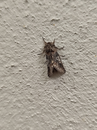
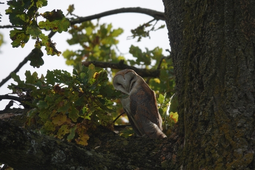
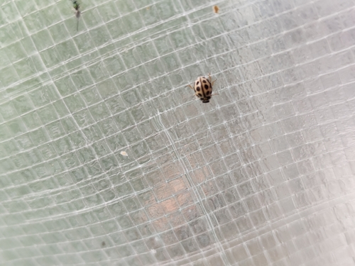
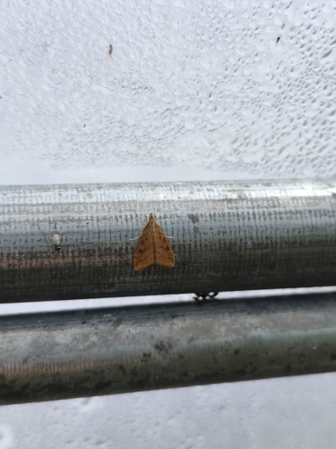
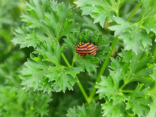
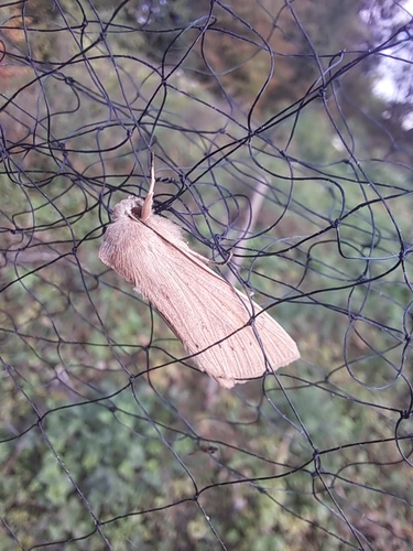
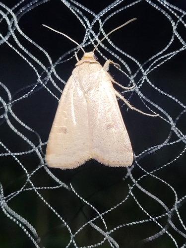
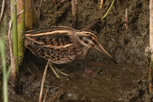
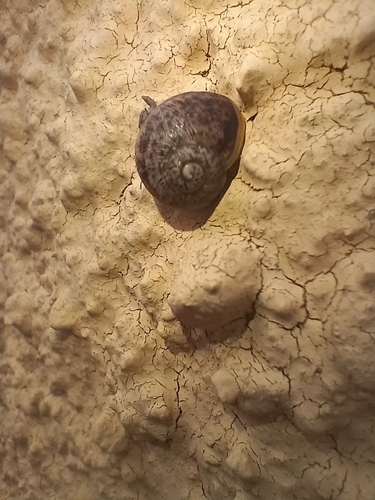
Research-grade observations from iNaturalist (within ~15 mi).
Events
Gallery
Official Identifiers
BFS — Swiss Federal Statistical Office
- BFS-Nr
- 5675
- Population (Wikidata)
- 4,200
- Wikidata
- Q70110
Gemeindenummer via Wikidata P771
Sources
- • Wikipedia
- • Wikidata
- • USGS Earthquake Catalog (global feed)
- • GBIF (Global Biodiversity Information Facility)
- • iNaturalist
- • Open-Elevation
- • Open-Meteo / sunrise-sunset.org
- • Wikipedia Pageviews API
- • Wikidata SPARQL (CC0) — population, area, elevation, inception, head of government, Commons image
- • BFS — Swiss Federal Statistical Office — Gemeindenummer via Wikidata P771