Browse / Switzerland / Ticino / Ludiano
Ludiano
Ticinovillage
Demographic figures from Swiss Federal Statistical Office. Overview below cites Wikipedia and may reference a different year.
City facts
Facts from Wikidata (CC0).
Overview
Ludiano is a former municipality in the district of Blenio in the canton of Ticino in Switzerland. Since 15 March 2011, it is part of the municipality Serravalle.
Read more on WikipediaHistory & geography
History
In 1926 a grave was discovered which contained Iron Age grave offerings. The modern municipality of Ludiano was first mentioned in 1211 as Luguilano. It was mentioned as a local center for surrounding farmhouses and villages in 1351. The parish church of S. Secondo is first mentioned in 1293. It was rebuilt in 1779–82, though the older romanesque clock tower was retained. In the past, the main sources of income were crops, livestock and vineyards. This income was supplemented by money sent back to the village by emigrants to other European countries. After the emigration-related decline in the mid-19th century, the number of inhabitants increased in the last decades of the 20th century and has led to numerous new homes. In 2000 about half the jobs in the village were in manufacturing, and the services sector accounted for about a fifth of the jobs. Two-thirds of the working population earned their livelihood outside the community.
Geography
Ludiano has an area, , of . Of this area, or 8.6% is used for agricultural purposes, while or 77.7% is forested. Of the rest of the land, or 4.0% is settled (buildings or roads), or 1.1% is either rivers or lakes and or 6.3% is unproductive land. Of the built up area, housing and buildings made up 2.9% and transportation infrastructure made up 1.0%. Out of the forested land, 75.1% of the total land area is heavily forested and 2.6% is covered with orchards or small clusters of trees. Of the agricultural land, 4.0% is used for growing crops, while 1.6% is used for orchards or vine crops and 2.9% is used for alpine pastures. All the water in the municipality is flowing water. Of the unproductive areas, 2.3% is unproductive vegetation and 4.0% is too rocky for vegetation. The municipality is located in the Blenio district, on the right side of the lower Blenio valley. The municipalities of Ludiano, Malvaglia and Semione merged on 15 March 2011 into the new municipality Serravalle.
Excerpted from the corresponding Wikipedia article (CC BY-SA).
Geography
Coordinates & boundaries from the US Census TIGER/Line shapefiles.
Climate
Air quality
Walkability
Amenities nearby
Wildlife & biodiversity
Most-observed species
- Marbled WhiteMelanargia galathea Linnaeus, 1758 · Insecta5,551
- Meadow BrownManiola jurtina (Linnaeus, 1758) · Insecta3,887
- Small HeathCoenonympha pamphilus (Linnaeus, 1758) · Insecta3,265
- Swiss Brassy RingletErebia tyndarus Esper, 1777 · Insecta3,160
- Large RingletErebia euryale Esper, 1777 · Insecta2,915
- Scotch ArgusErebia aethiops Esper, 1777 · Insecta2,518
- Small TortoiseshellAglais urticae (Linnaeus, 1758) · Insecta2,076
- Encrusted Foam LichenStereocaulon incrustatum Flörke · Lecanoromycetes2,054
Citizen-science & research observations from the Global Biodiversity Information Facility (GBIF).
Earthquake history
Most recent
- M 3.7 — 2026-04-264 km N of Quarten, Switzerland
- M 4.1 — 2025-07-214 km E of Frutigen, Switzerland
- M 4.2 — 2024-06-042 km NNW of Unteriberg, Switzerland
- M 3.8 — 2022-09-012 km WSW of Sevelen, Switzerland
- M 2.7 — 2022-08-234 km S of Turtmann, Switzerland
- M 4.5 — 2021-12-181 km WNW of Dalmine, Italy
Events from the USGS Earthquake Catalog (global) (FDSN Event Web Service).
Photos
Sights & places nearby
Notable people from here


People born within ~10 km, from Wikidata (CC0). Click any name for their Wikipedia article.
Nearby places in Ticino
- Malvaglia0.6 mi away · pop. 1,316
- Semione0.7 mi away · pop. 320
- Acquarossa2.9 mi away · pop. 1,862
- Prugiasco3.5 mi away
- Sobrio3.6 mi away · pop. 80
- Biasca4 mi away · pop. 6,164
- Castro4.2 mi away
- Personico4.2 mi away · pop. 334
- Ponto Valentino4.7 mi away
- Giornico4.7 mi away · pop. 872
- Torre4.9 mi away
- Blenio5.9 mi away · pop. 1,792
Geography & sun
Elevation, sunrise/sunset and daylight from Open-Meteo. Solar climatology from NASA POWER.
Nearby airports
Public attention
Pageview totals from the Wikimedia Pageviews API.
Books about this place
Recent natural events nearby
Ground air-quality sensors
Recently spotted species
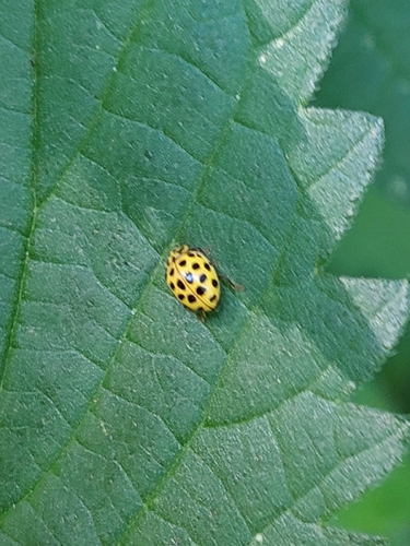
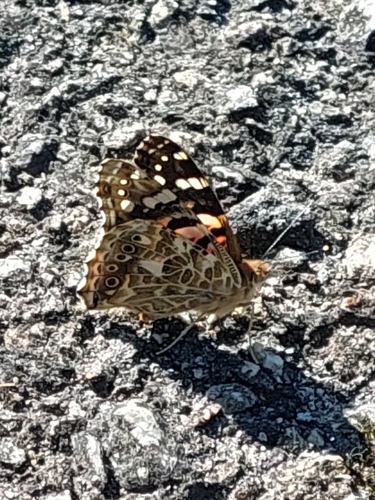
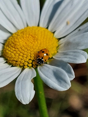
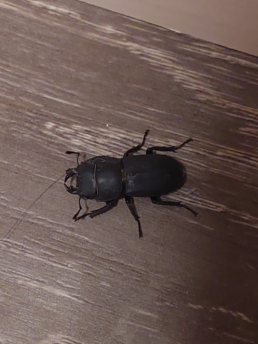
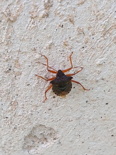
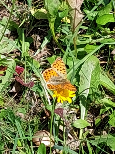
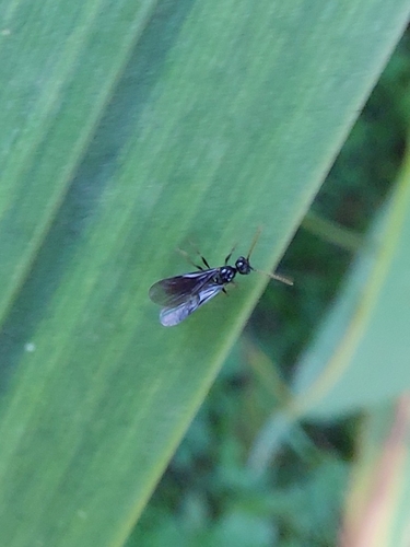
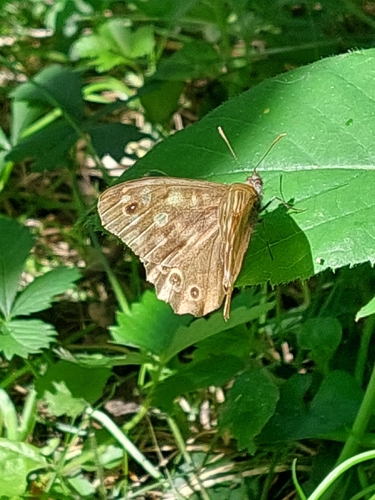
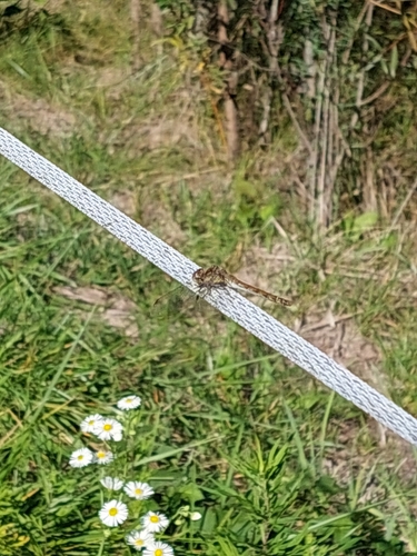
Research-grade observations from iNaturalist (within ~15 mi).
Events
Gallery
Official Identifiers
BFS — Swiss Federal Statistical Office
- BFS-Nr
- 5040
- Wikidata
- Q660974
Gemeindenummer via Wikidata P771
Sources
- • Wikipedia
- • Wikidata
- • USGS Earthquake Catalog (global feed)
- • GBIF (Global Biodiversity Information Facility)
- • iNaturalist
- • Open-Meteo / sunrise-sunset.org
- • Wikipedia Pageviews API
- • BFS — Swiss Federal Statistical Office — Gemeindenummer via Wikidata P771