Browse / Switzerland / Graubünden / Maienfeld
Maienfeld
Graubündenvillage

Maienfeld
Total population
2,740
Demographic figures from Swiss Federal Statistical Office. Overview below cites Wikipedia and may reference a different year.
City facts
Sister cities
Facts from Wikidata (CC0).
Overview
Maienfeld is a municipality in the Landquart Region of the Swiss canton of Grisons. It is a tourist destination in the Alps, both because of the local wine and because it was the setting of the story Heidi.
Read more on WikipediaHistory & geography
History
Maienfeld lies along a key route through the Rhine Valley in the Alps. Prehistoric Bronze work and a pre-Roman cellar have been found in the city and on St. Luzisteig hill. The 4th or 5th century Tabula Peutingeriana map shows a place called Magia near modern Maienfeld. The village is first mentioned in 831 and was known as Lupinis at that time. The name of the village changed several times over the following centuries and included; Magenza, Lopine, Maging and Magen zu Luppinis. Finally, in 1295 the name Maienvelt was used, which eventually became Maienfeld. From the mid 10th century until the mid 12th century, the counts of Bregenz ruled Maienfeld. Their castle at Maienfeld was destroyed in 1079 by Henry IV, HRE during the Investiture Controversy. The current Schloss Brandis was initially built in 1270–75 by the von den Aspermont family and later by Friedrich VII, count of Toggenburg. In 1465 it was rebuilt and expanded by the Baron von Brandis. The town was also fortified in the 13th century. A tall and thick section of wall is still standing today. The town walls enclosed an area of about . The walls were thickened and raised to in the 14th century and then, in a third phase, topped with thick crenellations and raised to . Maienfeld is first mentioned as a town in 1346, however it seems to have lacked a town government (until 1437) or guilds. In 1388, Maienfeld acquired the right to charge a toll on the Roman Road that led from Chur over the St. Luzisteig to the north. Maienfeld also had a market, though the neighboring city of Malans had the market right. Following the death of the Toggenburger line, Maienfeld joined the League of the Ten Jurisdictions in 1436. In 1438 the city reached an agreement with the von Brandis and von Aarburg (inheritors of some…
Excerpted from the corresponding Wikipedia article (CC BY-SA).
Geography
Coordinates & boundaries from the US Census TIGER/Line shapefiles.
Climate
Air quality
Walkability
Amenities nearby
Wildlife & biodiversity
Earthquake history
Photos
Sights & places nearby
Notable people from here


People born within ~10 km, from Wikidata (CC0). Click any name for their Wikipedia article.
Nearby places in Graubünden
- Fläsch1.6 mi away · pop. 835
- Seewis im Prättigau5.3 mi away · pop. 1,323
- Untervaz5.5 mi away · pop. 2,445
- Fanas6.6 mi away · pop. 377
- Trimmis7.8 mi away · pop. 3,072
- Fajauna8.4 mi away
- Furna8.4 mi away · pop. 204
- Haldenstein9 mi away · pop. 1,163
- Pragg-Jenaz9.5 mi away
- Buchen im Prättigau10 mi away
- Felsberg11.5 mi away · pop. 2,422
- Araschgen11.8 mi away
Geography & sun
Elevation, sunrise/sunset and daylight from Open-Meteo. Solar climatology from NASA POWER.
Nearby airports
Public attention
Pageview totals from the Wikimedia Pageviews API.
Books about Maienfeld
![알프스 소녀 하이디 [Alpeuseu Sonyeo Haidi / Al peu seu so nyeo ha i di]](https://covers.openlibrary.org/b/id/15117655-M.jpg)
Search results from Open Library.
Recent natural events nearby
Ground air-quality sensors
Recently spotted species
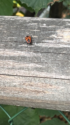
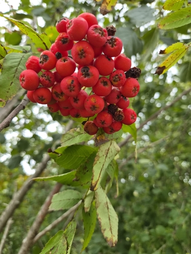
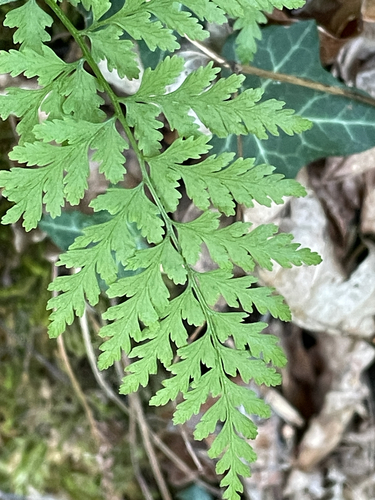
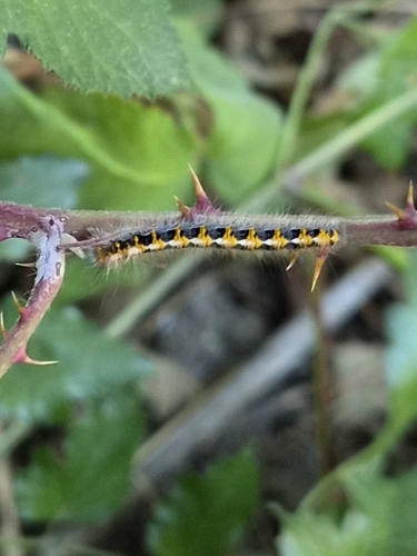
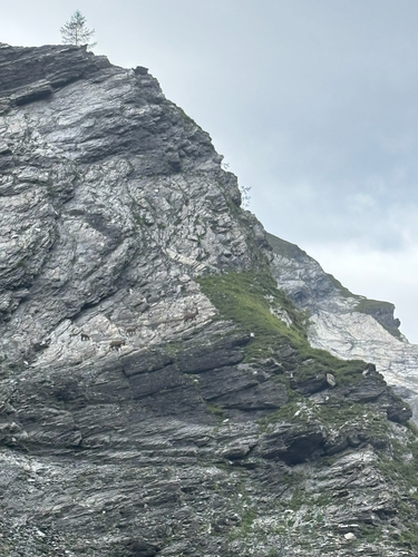
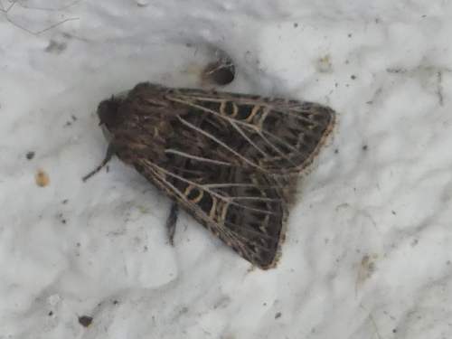
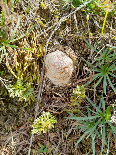
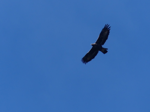
Research-grade observations from iNaturalist (within ~15 mi).
Events
Gallery
Official Identifiers
BFS — Swiss Federal Statistical Office
- BFS-Nr
- 3953
- Population (Wikidata)
- 2,945
- Wikidata
- Q64178
Gemeindenummer via Wikidata P771
Sources
- • Wikipedia
- • Wikidata
- • iNaturalist
- • Open-Elevation
- • Open-Meteo / sunrise-sunset.org
- • Wikipedia Pageviews API
- • Open Library
- • Wikidata SPARQL (CC0) — population, area, elevation, inception, head of government, Commons image
- • BFS — Swiss Federal Statistical Office — Gemeindenummer via Wikidata P771