Browse / Switzerland / Aargau / Mandach
Mandach
Aargauvillage

Mandach
Total population
334
Demographic figures from Swiss Federal Statistical Office. Overview below cites Wikipedia and may reference a different year.
City facts
Facts from Wikidata (CC0).
Overview
Mandach is a municipality in the district of Brugg in canton of Aargau in Switzerland.
Read more on WikipediaHistory & geography
History
The name is evidently of Roman origin (cf. Rüfenach and Zurzach), being from Late Latin (praedium) Manduccacum, "estate (belonging to) Manduccus". In 1072 the Lords of Wessenberg donated a chapel in near the modern village. However, Mandach is first mentioned in 1218 as Mandacho. The major landowners were Säckingen Abbey which possessed considerable property in Mandach and two Habsburg vassals who owned castles in the village. After the Lords of Wessenberg, the village passed into the hands of the lords of Büttikon and Heudorf. In 1468, after the siege of Waldshut, the Confederates took Mandach and added it to the Schenkenberg district. In 1518 a fire destroyed the village and in 1593 and 1668 it was ravaged by the plague. During the Protestant Reformation the village converted to the new doctrine. Throughout the Middle Ages the major economic activity in the village was agriculture and viticulture. In 1740 cotton weaving entered the village through the Hediger family. Due to its location and lack of transportation infrastructure, the village remained untouched by industrialization in the 19th century, which led to a strong population decline. In 2000, the agricultural section still provides three-fifths of the jobs in the village.
Geography
Mandach has an area, , of . Of this area, or 67.6% is used for agricultural purposes, while or 26.5% is forested. Of the rest of the land, or 6.3% is settled (buildings or roads). Of the built up area, housing and buildings made up 2.9% and transportation infrastructure made up 3.1%. 25.4% of the total land area is heavily forested and 1.1% is covered with orchards or small clusters of trees. Of the agricultural land, 32.3% is used for growing crops and 29.9% is pastures, while 5.4% is used for orchards or vine crops. The municipality is located in the Brugg district between Rotberg and Besseberg. It consists of the haufendorf village (an irregular, unplanned and quite closely packed village, built around a central square) of Mandach.
Excerpted from the corresponding Wikipedia article (CC BY-SA).
Geography
Coordinates & boundaries from the US Census TIGER/Line shapefiles.
Climate
10-year averages from ERA5 reanalysis (Open-Meteo).
Air quality
Walkability
Amenities nearby
Wildlife & biodiversity
Earthquake history
Photos
Sights & places nearby
Notable people from here
Nearby places in Aargau
- Etzwil1.3 mi away
- Schlatt1.8 mi away
- Hettenschwil2.2 mi away
- Gansingen2.4 mi away · pop. 1,030
- Oberhofen2.6 mi away · pop. 282
- Rüfenach2.8 mi away · pop. 854
- Burlen2.8 mi away
- Mettau3 mi away · pop. 301
- Hinterrein3.1 mi away
- Leibstadt3.1 mi away · pop. 1,278
- Schwaderloch3.3 mi away · pop. 662
- Kleindöttingen3.3 mi away
Geography & sun
Elevation, sunrise/sunset and daylight from Open-Meteo. Solar climatology from NASA POWER.
Nearby airports
Public attention
Pageview totals from the Wikimedia Pageviews API.
Books about this place
Recent natural events nearby
Ground air-quality sensors
Recently spotted species
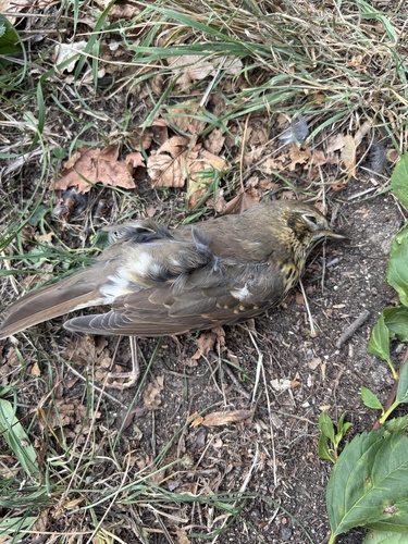
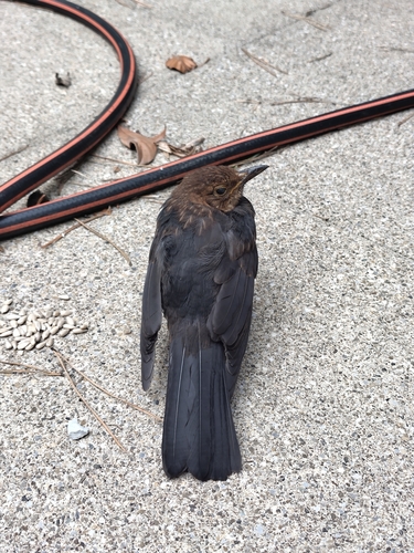
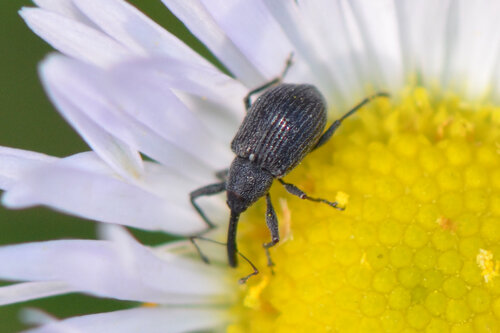
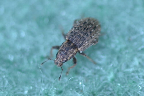
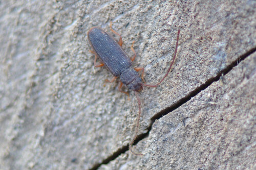
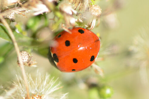
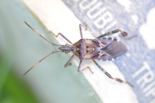

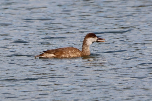
Research-grade observations from iNaturalist (within ~15 mi).
Events
Gallery
Official Identifiers
BFS — Swiss Federal Statistical Office
- BFS-Nr
- 4105
- Population (Wikidata)
- 341
- Wikidata
- Q66074
Gemeindenummer via Wikidata P771
Sources
- • Wikipedia
- • Open-Meteo (ERA5 reanalysis)
- • Wikidata
- • iNaturalist
- • Open-Meteo / sunrise-sunset.org
- • Wikipedia Pageviews API
- • BFS — Swiss Federal Statistical Office — Gemeindenummer via Wikidata P771