Browse / Switzerland / Ticino / Mergoscia
Mergoscia
Ticinovillage

Mergoscia
Total population
222
Demographic figures from Swiss Federal Statistical Office. Overview below cites Wikipedia and may reference a different year.
City facts
Overview
Mergoscia is a municipality in the district of Locarno in the canton of Ticino in Switzerland.
Read more on WikipediaHistory & geography
History
Mergoscia is first mentioned in 1061 as Mergossia, though this comes from a copy of the original from 1402. In 1300 it was mentioned as Mergosia. In 1313, Mergoscia split from the Vicinanza of Minusio and Brione. However, the majority of the common property of the former vicinanza remained undivided until 1952. To avoid paying a tithe to the nobles of Locarno, at the beginning of the 15th century, the village split from Locarno to join the valley community of Verzasca and Valle Maggia. The village church, split away from the mother church of Locarno, S. Vittore in Muralto, in 1591. The parish church of San Gottardo was built in 1597, over the foundation of a church that was first mentioned in 1338. The bell tower dates from 1697. Most of the villagers worked as farmers, shepherds or cattle herders. Already in the Middle Ages they had a seasonal migration between the alpine pastures and the winter pastures in the Magadino valley. Until 1920 they shared grazing rights with Minusio and Locarno and owned part of the shared Terricciole territory. The scarce economic resources forced many villagers to emigrate oversees, starting in the 15th century and running until the 19th century. In 1900 the old road was built to the village. The tunnel of Mergoscia was built in 1997–98. With easier access to the village, many of the houses became vacation homes.
Geography
Mergoscia has an area, , of . Of this area, or 3.5% is used for agricultural purposes, while or 67.3% is forested. Of the rest of the land, or 2.6% is settled (buildings or roads), or 5.2% is either rivers or lakes and or 10.3% is unproductive land. Of the built up area, housing and buildings made up 1.7% and transportation infrastructure made up 0.7%. Out of the forested land, 53.9% of the total land area is heavily forested, while 10.7% is covered in small trees and shrubbery and 2.7% is covered with orchards or small clusters of trees. Of the agricultural land, 1.0% is used for growing crops and 1.7% is used for alpine pastures. Of the water in the municipality, 4.6% is in lakes and 0.6% is in rivers and streams. Of the unproductive areas, 8.7% is unproductive vegetation and 1.6% is too rocky for vegetation. The municipality is located in the Locarno district, above Lago di Vogorno in the Verzasca Valley.
Excerpted from the corresponding Wikipedia article (CC BY-SA).
Geography
Coordinates & boundaries from the US Census TIGER/Line shapefiles.
Climate
Air quality
Walkability
Amenities nearby
Wildlife & biodiversity
Most-observed species
- Encrusted Foam LichenStereocaulon incrustatum Flörke · Lecanoromycetes14,837
- Chusan PalmTrachycarpus fortunei (Hook.) H.Wendl. · Liliopsida8,853
- MallardAnas platyrhynchos Linnaeus, 1758 · Aves4,427
- Marbled WhiteMelanargia galathea Linnaeus, 1758 · Insecta3,919
- Hooded CrowCorvus cornix Linnaeus, 1758 · Aves3,716
- Tree-of-HeavenAilanthus altissima (Mill.) Swingle · Magnoliopsida3,429
- Eurasian BlackbirdTurdus merula Linnaeus, 1758 · Aves3,336
- Great TitParus major Linnaeus, 1758 · Aves3,324
Citizen-science & research observations from the Global Biodiversity Information Facility (GBIF).
Earthquake history
Most recent
- M 4.1 — 2025-07-214 km E of Frutigen, Switzerland
- M 4.2 — 2024-06-042 km NNW of Unteriberg, Switzerland
- M 2.7 — 2022-08-234 km S of Turtmann, Switzerland
- M 4.5 — 2021-12-181 km WNW of Dalmine, Italy
- M 4.1 — 2020-12-170 km SW of Opera, Italy
- M 4 — 2020-10-255 km ESE of Ennenda, Switzerland
Events from the USGS Earthquake Catalog (global) (FDSN Event Web Service).
Photos
Sights & places nearby
Notable people from here
Nearby places in Ticino
- Berzona (Verzasca)0.6 mi away
- Vogorno1 mi away · pop. 270
- San Bartolomeo1.5 mi away
- Contra1.6 mi away
- Gordemo1.6 mi away
- Tenero-Contra1.8 mi away · pop. 2,751
- Mondacce2 mi away
- Tenero2.2 mi away
- Gordola2.2 mi away · pop. 4,480
- Brione sopra Minusio2.5 mi away · pop. 527
- Riazzino3.1 mi away
- Orselina3.4 mi away · pop. 762
Geography & sun
Elevation, sunrise/sunset and daylight from Open-Meteo. Solar climatology from NASA POWER.
Nearby airports
Public attention
Pageview totals from the Wikimedia Pageviews API.
Books about this place
Recent natural events nearby
Ground air-quality sensors
Recently spotted species
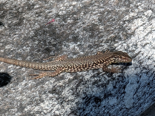
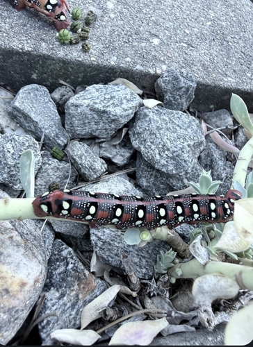
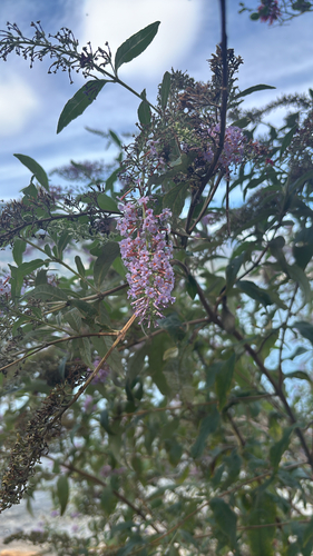
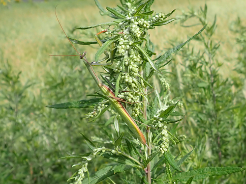
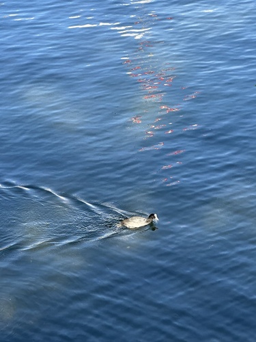
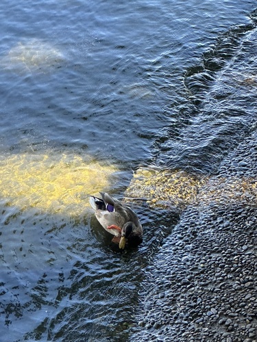
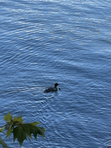
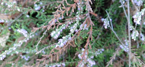
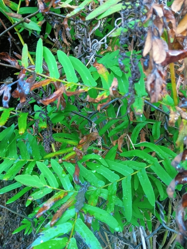
Research-grade observations from iNaturalist (within ~15 mi).
Events
Gallery
Official Identifiers
BFS — Swiss Federal Statistical Office
- BFS-Nr
- 5117
- Population (Wikidata)
- 213
- Wikidata
- Q68772
Gemeindenummer via Wikidata P771
Sources
- • Wikipedia
- • USGS Earthquake Catalog (global feed)
- • GBIF (Global Biodiversity Information Facility)
- • iNaturalist
- • Open-Meteo / sunrise-sunset.org
- • Wikipedia Pageviews API
- • BFS — Swiss Federal Statistical Office — Gemeindenummer via Wikidata P771