Browse / Switzerland / Ticino / Morcote
Morcote
Ticinovillage

Morcote
Total population
707
Demographic figures from Swiss Federal Statistical Office. Overview below cites Wikipedia and may reference a different year.
City facts
Sister cities
Facts from Wikidata (CC0).
Overview
Morcote is a municipality in the Swiss canton of Ticino situated about 10 kilometres from Lugano in the district of Lugano on the shore of Lake Lugano.
Read more on WikipediaHistory & geography
History
Morcote is first mentioned historically in 926 as Murcau, which comes from the Latin Morae caput, meaning head of the hill. In 1353 it was mentioned as Murchoe and again in 1453 as Murchote. Starting around 1100, Morcote was home to a castle that was built to guard and control commerce on the lake. Until the dam was built in Melide in 1847, Morcote was the largest port on Lake Lugano. Goods from northern Italy were shipped across the lake to the rest of Ticino. In 1422 the town was granted privileges by the Duke of Milan, which included the rights to impose taxes, self-government, independent fishing and the right to hold markets. After the plague year of 1432, only seven families survived in the town. The town was often caught between the rival powers of Milan and Como as they fought for control in Lombardy. In 1517 the region came under the control of the Old Swiss Confederation, and was added to the Vogtei of Lugano. However Morcote retained extensive rights, including judicial and tax autonomy as well as fishing rights over the entire lake. During the Late Middle Ages the major industries of Morcote included fishing, farming and shipping. During the end of the Middle Ages, artists began to move into the town as well. In 1583 the town had a self-supporting parish established in the parish church Santa Maria del Sasso, which dated from the 13th century. In 1862, seven houses slid into the lake. During the 19th century tourism grew into a major industry in Morcote. In the late 20th and early 21st centuries, wine production and handicrafts have been added to tourism.
Geography
Morcote has an area, (as of the 2004/09 survey) of . Of this area, about 2.5% is used for agricultural purposes, while 81.5% is forested and 16.0% is settled (buildings or roads). In the 2004/09 survey a total of or about 13.3% of the total area was covered only with buildings, an increase of over the 1983 amount. About 0.72% of the total area is recreational space. Of the agricultural land, is used for orchards and vineyards, is fields and grasslands and consists of alpine grazing areas. Since 1983 the amount of agricultural land has decreased by . Over the same time period the amount of forested land has increased by . Despite being on the lake, the borders of the municipality do not include any rivers or lakes. The municipality is located in the Lugano district, between Lake Lugano and Monte Arbostora. It consists of the village of Morcote, the village of Vico until 1803 and between 1803–16, Carabietta.
Excerpted from the corresponding Wikipedia article (CC BY-SA).
Geography
Coordinates & boundaries from the US Census TIGER/Line shapefiles.
Climate
Air quality
Walkability
Amenities nearby
Wildlife & biodiversity
Earthquake history
Photos
Sights & places nearby
Notable people from here


People born within ~10 km, from Wikidata (CC0). Click any name for their Wikipedia article.
Nearby places in Ticino
- Vico Morcote0.7 mi away · pop. 377
- Brusino Arsizio1.1 mi away · pop. 469
- Carona2.6 mi away · pop. 681
- Barbengo2.6 mi away · pop. 2,193
- Melide2.7 mi away · pop. 1,739
- Maroggia2.8 mi away · pop. 601
- Meride2.9 mi away · pop. 341
- Riva San Vitale2.9 mi away · pop. 2,539
- Agra3.1 mi away
- Carabietta3.2 mi away · pop. 100
- Melano3.4 mi away · pop. 1,359
- Tremona3.5 mi away · pop. 523
Geography & sun
Elevation, sunrise/sunset and daylight from Open-Meteo. Solar climatology from NASA POWER.
Nearby airports
Public attention
Pageview totals from the Wikimedia Pageviews API.
Books about Morcote
Search results from Open Library.
Recent natural events nearby
Ground air-quality sensors
Recently spotted species
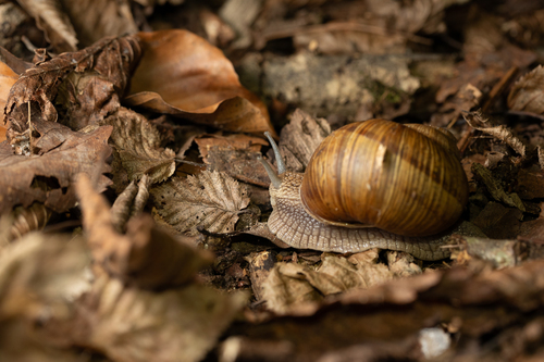
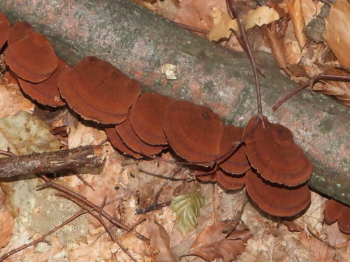
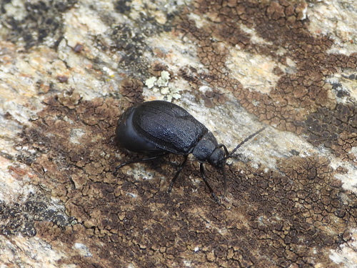
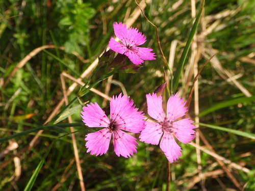
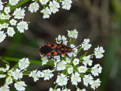
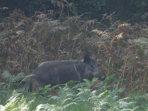
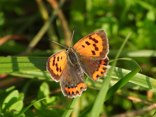
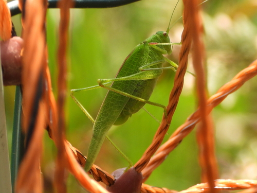
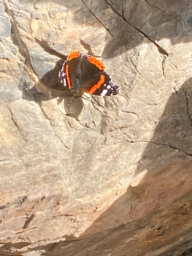
Research-grade observations from iNaturalist (within ~15 mi).
Events
Gallery
Official Identifiers
BFS — Swiss Federal Statistical Office
- BFS-Nr
- 5203
- Population (Wikidata)
- 713
- Wikidata
- Q68224
Gemeindenummer via Wikidata P771
Sources
- • Wikipedia
- • Wikidata
- • iNaturalist
- • Open-Meteo / sunrise-sunset.org
- • Wikipedia Pageviews API
- • Open Library
- • BFS — Swiss Federal Statistical Office — Gemeindenummer via Wikidata P771