Browse / Switzerland / Vaud / Moudon
Moudon
Vaudvillage

Moudon
Total population
6,393
Demographic figures from Swiss Federal Statistical Office. Overview below cites Wikipedia and may reference a different year.
City facts
Sister cities
Facts from Wikidata (CC0).
Overview
Moudon is a municipality in the canton of Vaud in Switzerland. It was the seat of Moudon District and is now in the Broye-Vully district.
Read more on WikipediaHistory & geography
History
Montmagny was known as Minnodunum or Minnidunum during the Roman era. Around 1100, 1154 and 1180 it was mentioned as Meldun, in 1161 it was Moudon and in 1167 as Meldunum or Mildunum.
Geography
Moudon has an area, , of . Of this area, or 46.7% is used for agricultural purposes, while or 35.1% is forested. Of the rest of the land, or 16.5% is settled (buildings or roads), or 1.8% is either rivers or lakes and or 0.1% is unproductive land. Of the built up area, industrial buildings made up 2.9% of the total area while housing and buildings made up 6.6% and transportation infrastructure made up 5.5%. Out of the forested land, 32.8% of the total land area is heavily forested and 2.2% is covered with orchards or small clusters of trees. Of the agricultural land, 27.9% is used for growing crops and 17.8% is pastures. Of the water in the municipality, 0.2% is in lakes and 1.6% is in rivers and streams. The upper city is located at the confluence of the Mérine and Broye rivers. The lower city stretches downstream along the Broye river. It lies on the intersection of two historically important roads, one from Italy to Burgundy and the other between Geneva and Bern. It consists of the village of Moudon and the hamlets of Plan and Villaret, the northern section of the hamlet of Bressonnaz-Dessous and numerous (mostly medieval) farm house settlements including Alliérens, Beauregard, Belflori, Chalabruz, Cornier, Frémont, La Baume, La Cerjaulaz, La Faye, Le Grand-Pré, Grange-Verney, Gréchon, Montsandon, Valacrêt. The municipalities of Moudon and Rossenges are considering a merger at a date in the future into the new municipality of Moudon.
Excerpted from the corresponding Wikipedia article (CC BY-SA).
Geography
Coordinates & boundaries from the US Census TIGER/Line shapefiles.
Climate
Air quality
Walkability
Amenities nearby
Wildlife & biodiversity
Earthquake history
Photos
Sights & places nearby
Notable people from here


People born within ~10 km, from Wikidata (CC0). Click any name for their Wikipedia article.
Nearby places in Vaud
- Chavannes-sur-Moudon0.9 mi away · pop. 238
- Bussy-sur-Moudon1.3 mi away · pop. 186
- Chesalles-sur-Moudon1.6 mi away · pop. 169
- Rossenges1.6 mi away · pop. 63
- Syens1.9 mi away · pop. 123
- Neyruz-sur-Moudon2.1 mi away · pop. 119
- Martherenges2.3 mi away · pop. 78
- Sarzens2.5 mi away · pop. 80
- Oulens-sur-Lucens2.5 mi away · pop. 52
- Brenles2.5 mi away · pop. 144
- Hermenches2.6 mi away · pop. 375
- Villars-le-Comte2.9 mi away · pop. 153
Geography & sun
Elevation, sunrise/sunset and daylight from Open-Meteo. Solar climatology from NASA POWER.
Nearby airports
Public attention
Pageview totals from the Wikimedia Pageviews API.
Books about Moudon
Search results from Open Library.
Recent natural events nearby
Ground air-quality sensors
Recently spotted species
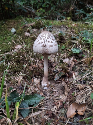
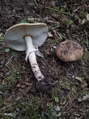
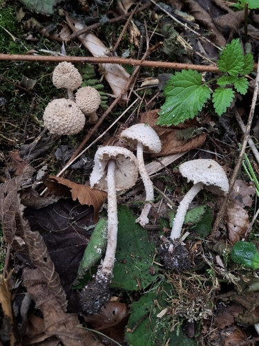
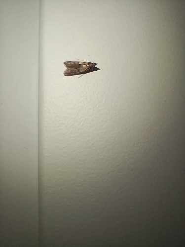
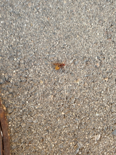
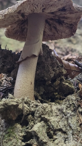
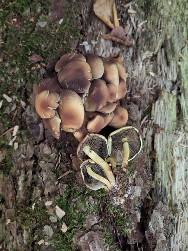
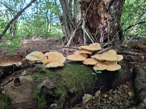
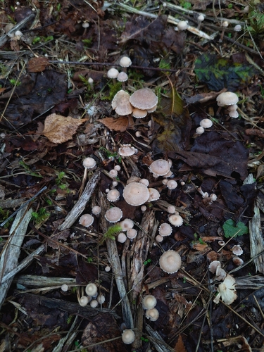
Research-grade observations from iNaturalist (within ~15 mi).
Events
Gallery
Official Identifiers
BFS — Swiss Federal Statistical Office
- BFS-Nr
- 5678
- Population (Wikidata)
- 6,135
- Wikidata
- Q70202
Gemeindenummer via Wikidata P771
Sources
- • Wikipedia
- • Wikidata
- • iNaturalist
- • Open-Elevation
- • Open-Meteo / sunrise-sunset.org
- • Wikipedia Pageviews API
- • Open Library
- • Wikidata SPARQL (CC0) — population, area, elevation, inception, head of government, Commons image
- • BFS — Swiss Federal Statistical Office — Gemeindenummer via Wikidata P771