Browse / Switzerland / Fribourg / Murten
Murten
Fribourgtown

Murten
Total population
9,552
Demographic figures from Swiss Federal Statistical Office. Overview below cites Wikipedia and may reference a different year.
City facts
Facts from Wikidata (CC0).
Overview
Murten or Morat is a German-language municipality and a city with a sizeable French-speaking minority in the See district of the canton of Fribourg in Switzerland.
Read more on WikipediaHistory & geography
History
The oldest archaeological traces of a settlement in the perimeter are from the Mesolithic (8200-5500 BC). The Mesolithic finds are mostly small flint shards for use in weapons or tools. These flints were produced mostly in the swampy lowlands east of the city at Murten-Combette and Murten-Ober Prehl. While many of these flint objects are in museums, the exact discovery sites were not properly documented and have been lost or covered by later excavations. Several other sites were discovered during construction of the A1 motorway in 1976–95. These settlements are from the Neolithic (5500-2500 BC) and the Bronze Age (2300-800 BC). Murten Pré de la Blanc was used in the Neolithic and middle Bronze Age, while the sites Murten-Lowenberg, Murten-Ober Prehl and Chantemerle 1 are from the Late Bronze Age. The cemetery at Lowenberg was used for more than a millennium, from the middle Bronze Age to the La Tène period. The nearby necropolis holds a number of Hallstatt era graves. The remains of a large Roman villa from the end of 1st or early 2nd century BC and a piece of a Roman road have also been found. of Zähringen or Landri de Durnes, the Bishop of Lausanne in either 1159 or during the 1170s or 1180s next to the fortress. Murten was first mentioned as a city in 1238. After his death the German emperor Frederic II recognized Murten as a "Free Imperial Town". At that time the emperor himself lived in the south of Italy and a small town north of the Alps was not his concern. It did not last long – in 1255 Murten fell under the protection of Count Peter of Savoy. When Philip I of Savoy refused to give Murten to him, King Rudolph of Habsburg seized it as a royal estate. After Rudolf's death Amadeus V of Savoy, bought the city again in 1291, but lost it to King Albert I of Germany…
Geography
Murten has an area of . Before the mergers expanded the municipal borders, or 51.4% was used for agricultural purposes, while or 26.2% were forested. Of the rest of the land, or 21.6% were settled (buildings or roads), or 0.2% were either rivers or lakes and or 0.2% was unproductive land. Of the built up area, industrial buildings made up 1.6% of the total area while housing and buildings made up 9.4% and transportation infrastructure made up 9.1%. while parks, green belts and sports fields made up 1.2%. Out of the forested land, all of the forested land area is covered with heavy forests. Of the agricultural land, 40.4% is used for growing crops and 9.5% is pastures, while 1.4% is used for orchards or vine crops. All the water in the municipality is flowing water. The small medieval town lies in the Swiss "Midlands" on the edge of the Great Marsh, on a gentle hill ( above sea level) and on the shore of Lake Murten. Numerous attractions from a significant past have been well preserved here, such as the castle, the ring wall, the street scene and the arcades. Lake Murten is a smaller lake located in between Lake Biel and the Lake Neuchâtel. Mont Vully stands on the western side of the Seeland's largest plain and resembles a pearl gently placed among the three lakes of Murten, Neuchâtel and Biel/Bienne. Already long ago, the Celtic and Helvetic tribes appreciated the region's temperate climate and the local countryside's particular charm. Today, the Vully vineyards take up a large part of the south face of Mont Vully. The over 100 hectares of vineyards are facing towards Lake Murten.
Excerpted from the corresponding Wikipedia article (CC BY-SA).
Geography
Coordinates & boundaries from the US Census TIGER/Line shapefiles.
Climate
Air quality
Walkability
Amenities nearby
Wildlife & biodiversity
Most-observed species
- European roe deerCapreolus capreolus (Linnaeus, 1758) · Mammalia11,096
- red foxVulpes vulpes (Linnaeus, 1758) · Mammalia6,555
- European hareLepus europaeus Pallas, 1778 · Mammalia5,911
- Carrion CrowCorvus corone Linnaeus, 1758 · Aves5,104
- Eurasian beaverCastor fiber Linnaeus, 1758 · Mammalia4,833
- Meadow BrownManiola jurtina (Linnaeus, 1758) · Insecta4,636
- Yellow-legged GullLarus michahellis J.F.Naumann, 1840 · Aves4,014
- Common ToadBufo bufo (Linnaeus, 1758) · Amphibia4,011
Citizen-science & research observations from the Global Biodiversity Information Facility (GBIF).
Earthquake history
Most recent
- M 4.1 — 2025-07-214 km E of Frutigen, Switzerland
- M 4.4 — 2023-03-221 km NW of Pont-de-Roide, France
- M 3.9 — 2022-09-101 km WSW of Zimmersheim, France
- M 2.7 — 2022-08-234 km S of Turtmann, Switzerland
- M 4.1 — 2021-12-242 km WSW of Blamont, France
- M 3.4 — 2020-06-2311 km ESE of Samoëns, France
Events from the USGS Earthquake Catalog (global) (FDSN Event Web Service).
Photos
Sights & places nearby
Notable people from here


People born within ~10 km, from Wikidata (CC0). Click any name for their Wikipedia article.
Nearby places in Fribourg
- Muntelier1 mi away · pop. 953
- Nant1.9 mi away
- Praz (Vully)1.9 mi away
- Môtier (Vully)2 mi away
- Cressier FR2.4 mi away · pop. 836
- Clavaleyres2.4 mi away · pop. 50
- Lugnorre2.6 mi away
- Lurtigen2.6 mi away · pop. 181
- Jeuss2.9 mi away · pop. 415
- Essert/Wallenried3.8 mi away · pop. 455
- Gempenach3.9 mi away · pop. 291
- Ulmiz4 mi away · pop. 425
Geography & sun
Elevation, sunrise/sunset and daylight from Open-Meteo. Solar climatology from NASA POWER.
Nearby airports
Public attention
Pageview totals from the Wikimedia Pageviews API.
Books about Murten
Search results from Open Library.
Recent natural events nearby
Ground air-quality sensors
Recently spotted species
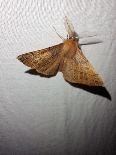
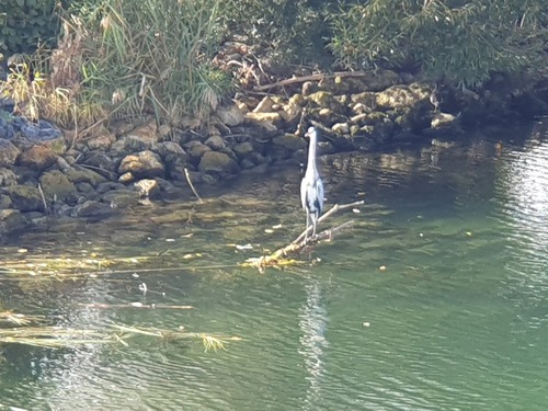
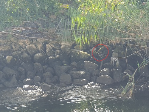
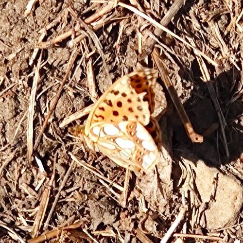
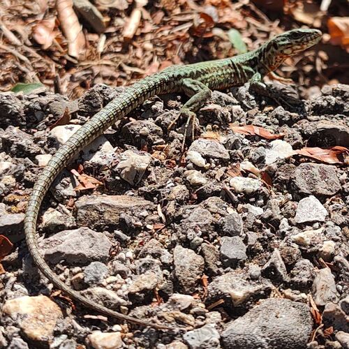
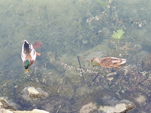
Research-grade observations from iNaturalist (within ~15 mi).
Events
Gallery
Official Identifiers
BFS — Swiss Federal Statistical Office
- BFS-Nr
- 2275
- Population (Wikidata)
- 8,278
- Wikidata
- Q68283
Gemeindenummer via Wikidata P771
Sources
- • Wikipedia
- • Wikidata
- • USGS Earthquake Catalog (global feed)
- • GBIF (Global Biodiversity Information Facility)
- • iNaturalist
- • Open-Elevation
- • Open-Meteo / sunrise-sunset.org
- • Wikipedia Pageviews API
- • Open Library
- • Wikidata SPARQL (CC0) — population, area, elevation, inception, head of government, Commons image
- • BFS — Swiss Federal Statistical Office — Gemeindenummer via Wikidata P771