Browse / Switzerland / Bern / Neuenegg
Neuenegg
Bernvillage

Neuenegg
Total population
4,881
Demographic figures from Swiss Federal Statistical Office. Overview below cites Wikipedia and may reference a different year.
City facts
Sister cities
Facts from Wikidata (CC0).
Overview
Neuenegg is a municipality in the Bern-Mittelland administrative district in the canton of Bern in Switzerland.
Read more on WikipediaHistory & geography
History
Neuenegg is first mentioned in 1228 as Nuneca. In 1235 it was mentioned as Nuwenegge. During the Middle Ages, Neuenegg was part of the Herrschaft of Laupen. In 1324, the entire Herrschaft was acquired by Bern. Neuenegg was one of the six courts of the new Bernese bailiwick of Laupen. Initially the court was held in the church yard, then it moved to the village pub. In 1339, during the Battle of Laupen, the Bernese and Swiss Confederation forces deployed on the Bramberg hill near Neuenegg. Fribourg, Burgundian and Habsburg forces attacked the hill and after heavy fighting were driven away with heavy losses. The Swiss and Bernese victory on the Bramberg brought Bern into closer association with the Swiss Confederacy, becoming one of the Eight Cantons in 1353. The village parish church of St. John was first mentioned in 1227 when Emperor Frederick II granted it to the Teutonic Knights. The current aisle was built in the 13th or 14th century, the choir is from 1452 and the church tower was built in 1512–16. The first village school was built in the 17th century. During the French invasion of 1798 a major battle was fought near Neuenegg. Under the command of Johann Rudolf von Graffenried the Bernese triumphed over numerically superior French troops under Brigadier General Pigeon on 5 March 1798. However, after the Bernese defeat that same day at the Battle of Grauholz, the collapse of the Ancien Régime could no longer be avoided. Neuenegg was located near the Bern-Fribourg trade road. In 1470 Fribourg built a bridge across the Sense river at Neuenegg and brought the road directly through the town. It remained on the main road for several centuries. However, in the 19th century, the new, main cantonal road bypassed Neuenegg. In 1860 a railroad line was built which also…
Geography
Neuenegg has an area of . As of 2012, a total of or 52.5% is used for agricultural purposes, while or 38.2% is forested. Of the rest of the land, or 9.0% is settled (buildings or roads), or 0.7% is either rivers or lakes. During the same year, housing and buildings made up 5.1% and transportation infrastructure made up 2.7%. Out of the forested land, 37.1% of the total land area is heavily forested and 1.1% is covered with orchards or small clusters of trees. Of the agricultural land, 35.7% is used for growing crops and 15.0% is pastures, while 1.9% is used for orchards or vine crops. All the water in the municipality is flowing water.
Excerpted from the corresponding Wikipedia article (CC BY-SA).
Geography
Coordinates & boundaries from the US Census TIGER/Line shapefiles.
Climate
Air quality
Walkability
Amenities nearby
Wildlife & biodiversity
Most-observed species
- European roe deerCapreolus capreolus (Linnaeus, 1758) · Mammalia5,937
- red foxVulpes vulpes (Linnaeus, 1758) · Mammalia4,963
- Eurasian beaverCastor fiber Linnaeus, 1758 · Mammalia4,105
- Common ToadBufo bufo (Linnaeus, 1758) · Amphibia3,913
- Meadow BrownManiola jurtina (Linnaeus, 1758) · Insecta3,856
- common frogRana temporaria Linnaeus, 1758 · Amphibia3,696
- Red AdmiralVanessa atalanta (Linnaeus, 1758) · Insecta3,597
- European hareLepus europaeus Pallas, 1778 · Mammalia3,344
Citizen-science & research observations from the Global Biodiversity Information Facility (GBIF).
Earthquake history
Most recent
- M 4.1 — 2025-07-214 km E of Frutigen, Switzerland
- M 3.2 — 2024-05-099 km SW of Evolène, Switzerland
- M 4.4 — 2023-03-221 km NW of Pont-de-Roide, France
- M 3.9 — 2022-09-101 km WSW of Zimmersheim, France
- M 2.7 — 2022-08-234 km S of Turtmann, Switzerland
- M 4.1 — 2021-12-242 km WSW of Blamont, France
Events from the USGS Earthquake Catalog (global) (FDSN Event Web Service).
Photos
Sights & places nearby
Notable people from here


People born within ~10 km, from Wikidata (CC0). Click any name for their Wikipedia article.
Geography & sun
Elevation, sunrise/sunset and daylight from Open-Meteo. Solar climatology from NASA POWER.
Nearby airports
Public attention
Pageview totals from the Wikimedia Pageviews API.
Books about this place
Recent natural events nearby
Ground air-quality sensors
Recently spotted species
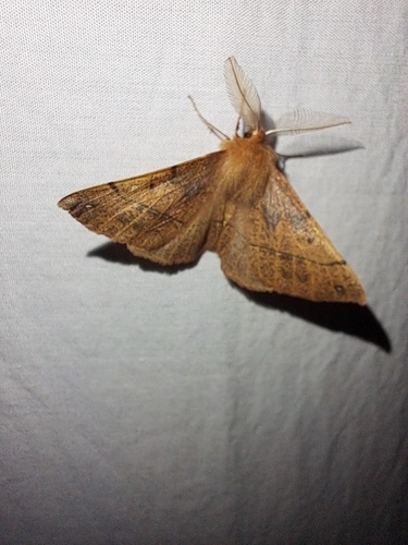
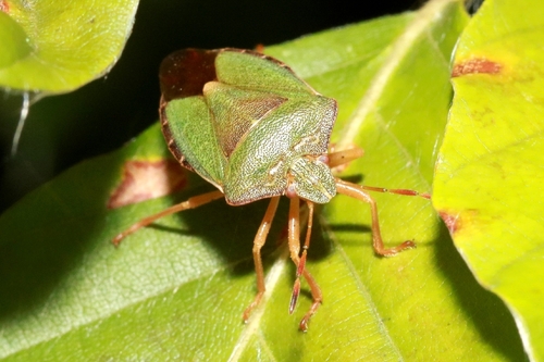
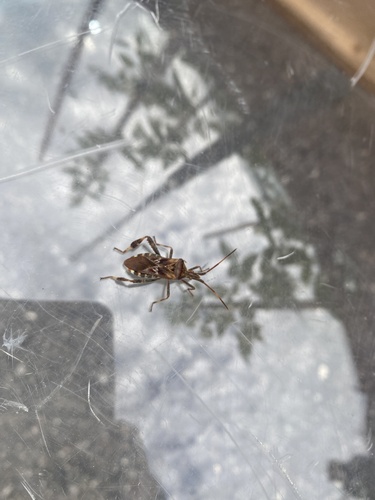
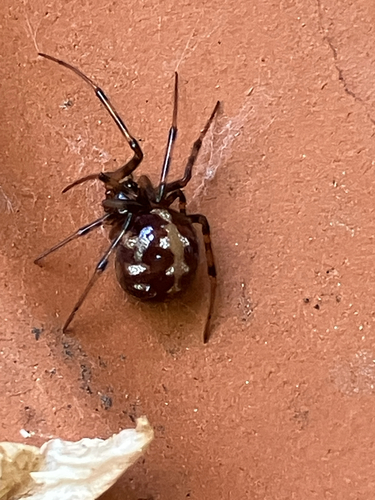
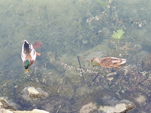
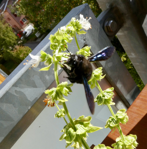
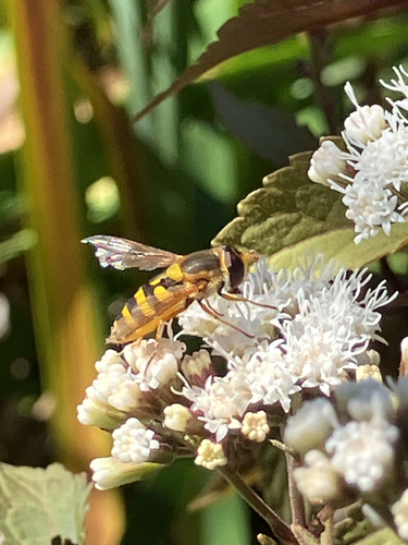
Research-grade observations from iNaturalist (within ~15 mi).
Events
Gallery
Official Identifiers
BFS — Swiss Federal Statistical Office
- BFS-Nr
- 670
- Population (Wikidata)
- 5,539
- Wikidata
- Q66125
Gemeindenummer via Wikidata P771
Sources
- • Wikipedia
- • Wikidata
- • USGS Earthquake Catalog (global feed)
- • GBIF (Global Biodiversity Information Facility)
- • iNaturalist
- • Open-Meteo / sunrise-sunset.org
- • Wikipedia Pageviews API
- • Wikidata SPARQL (CC0) — population, area, elevation, inception, head of government, Commons image
- • BFS — Swiss Federal Statistical Office — Gemeindenummer via Wikidata P771