Browse / Switzerland / Bern / Oberdiessbach
Oberdiessbach
Bernvillage

Oberdiessbach
Total population
3,723
Demographic figures from Swiss Federal Statistical Office. Overview below cites Wikipedia and may reference a different year.
City facts
Sister cities
Facts from Wikidata (CC0).
Overview
Oberdiessbach is a municipality in the Bern-Mittelland administrative district in the canton of Bern in Switzerland. On 1 January 2010 the former municipality of Aeschlen and on 1 January 2014, Bleiken bei Oberdiessbach merged into the municipality of Oberdiessbach.
Read more on WikipediaHistory & geography
History
Oberdiessbach is first mentioned in 1218 as Tiecebac. Until 1870 it was known as Diessbach. The village was settled rather later than many of the nearby villages. In 1880 a medical spa resort was built in the village. The spa eventually closed and the building is now an apartment complex. Even after the spa was built, the village remained isolated. In 1908 a Postauto route was established which connected Bleiken with Oberdiessbach. Today, over half of the working population commutes to jobs in Oberdiessbach and nearly three-quarters of the jobs in the village are in agriculture or small business.
Geography
Oberdiessbach has an area of . As of 2012, a total of or 51.1% is used for agricultural purposes, while or 39.3% is forested. Of the rest of the land, or 9.9% is settled (buildings or roads), or 0.1% is either rivers or lakes and or 0.2% is unproductive land. During the same year, industrial buildings made up 1.2% of the total area while housing and buildings made up 4.6% and transportation infrastructure made up 3.2%. Out of the forested land, 38.0% of the total land area is heavily forested and 1.3% is covered with orchards or small clusters of trees. Of the agricultural land, 16.9% is used for growing crops and 27.5% is pastures, while 1.9% is used for orchards or vine crops and 4.7% is used for alpine pastures. All the water in the municipality is flowing water. The municipality is located in the Kiesental (Kiesen Valley) between Kurzenberg, Falkenfluh and Hube. It includes the village of Oberdiessbach and the communities of Glasholz and Hauben. Since January 2010 it has included Aeschlen and since 2014, Bleiken bei Oberdiessbach.
Excerpted from the corresponding Wikipedia article (CC BY-SA).
Geography
Coordinates & boundaries from the US Census TIGER/Line shapefiles.
Climate
Air quality
Walkability
Amenities nearby
Wildlife & biodiversity
Most-observed species
- Meadow BrownManiola jurtina (Linnaeus, 1758) · Insecta3,648
- Annual FleabaneErigeron annuus (L.) Pers. · Magnoliopsida3,174
- Southern DamselflyCoenagrion mercuriale (Charpentier, 1840) · Insecta3,032
- European roe deerCapreolus capreolus (Linnaeus, 1758) · Mammalia2,571
- Small TortoiseshellAglais urticae (Linnaeus, 1758) · Insecta2,211
- Red AdmiralVanessa atalanta (Linnaeus, 1758) · Insecta2,208
- RingletAphantopus hyperantus (Linnaeus, 1758) · Insecta2,093
- Eurasian beaverCastor fiber Linnaeus, 1758 · Mammalia1,821
Citizen-science & research observations from the Global Biodiversity Information Facility (GBIF).
Earthquake history
Most recent
- M 4.1 — 2025-07-214 km E of Frutigen, Switzerland
- M 4.2 — 2024-06-042 km NNW of Unteriberg, Switzerland
- M 3.2 — 2024-05-099 km SW of Evolène, Switzerland
- M 4.4 — 2023-03-221 km NW of Pont-de-Roide, France
- M 3.9 — 2022-09-101 km WSW of Zimmersheim, France
- M 2.7 — 2022-08-234 km S of Turtmann, Switzerland
Events from the USGS Earthquake Catalog (global) (FDSN Event Web Service).
Photos
Sights & places nearby
Notable people from here
Nearby places in Bern
- Brenzikofen1.7 mi away · pop. 519
- Oppligen1.8 mi away · pop. 665
- Freimettigen2 mi away · pop. 469
- Bleiken bei Oberdiessbach2 mi away · pop. 378
- Kiesen2.2 mi away · pop. 742
- Konolfingen2.7 mi away · pop. 4,606
- Niederhünigen2.7 mi away · pop. 709
- Jaberg2.8 mi away · pop. 252
- Tägertschi3 mi away · pop. 386
- Oberhünigen3.4 mi away · pop. 296
- Kirchdorf BE3.6 mi away · pop. 1,853
- Gysenstein3.7 mi away
Geography & sun
Elevation, sunrise/sunset and daylight from Open-Meteo. Solar climatology from NASA POWER.
Nearby airports
Public attention
Pageview totals from the Wikimedia Pageviews API.
Books about Oberdiessbach
Search results from Open Library.
Recent natural events nearby
Ground air-quality sensors
Recently spotted species
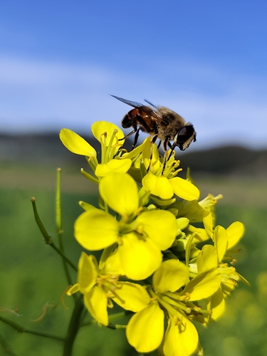
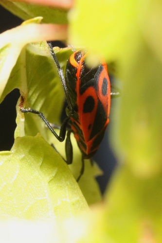
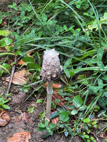
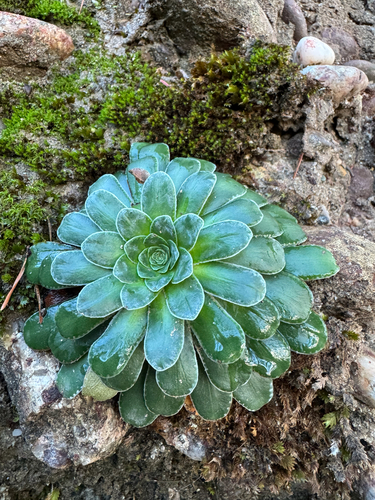
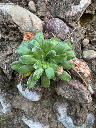
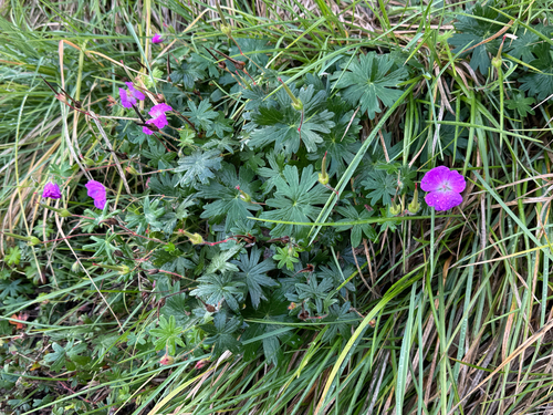
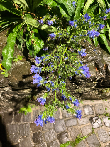
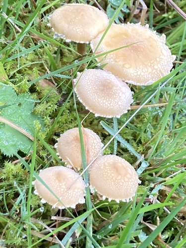
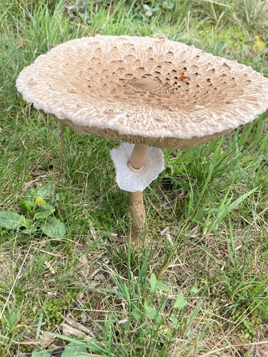
Research-grade observations from iNaturalist (within ~15 mi).
Events
Gallery
Official Identifiers
BFS — Swiss Federal Statistical Office
- BFS-Nr
- 619
- Population (Wikidata)
- 3,527
- Wikidata
- Q67582
Gemeindenummer via Wikidata P771
Sources
- • Wikipedia
- • Wikidata
- • USGS Earthquake Catalog (global feed)
- • GBIF (Global Biodiversity Information Facility)
- • iNaturalist
- • Open-Meteo / sunrise-sunset.org
- • Wikipedia Pageviews API
- • Open Library
- • Wikidata SPARQL (CC0) — population, area, elevation, inception, head of government, Commons image
- • BFS — Swiss Federal Statistical Office — Gemeindenummer via Wikidata P771