Browse / Switzerland / Zurich / Pfaffhausen
Pfaffhausen
Zurichvillage

Pfaffhausen
Demographic figures from Swiss Federal Statistical Office. Overview below cites Wikipedia and may reference a different year.
City facts
Facts from Wikidata (CC0).
Overview
Pfaffhausen is a settlement in the municipality of Fällanden in the canton of Zürich, Switzerland. It has an elevation of 597 m, and lies in the valley between the northern flank of the Öschbrig and the southeastern slope of the Adlisberg. Pfaffhausen borders the Zürich quarter of Witikon to the west, the settlement of Binz to the south, and the settlement of Benglen, also part of Fällanden, to the east. It is very easily accessible by public transportation from Zurich and Volketswil.
Read more on WikipediaHistory & geography
Geography
Coordinates & boundaries from the US Census TIGER/Line shapefiles.
Climate
Air quality
Walkability
Amenities nearby
Wildlife & biodiversity
Earthquake history
Photos
Sights & places nearby
Notable people from here
Nearby places in Zurich
- Binz0.6 mi away
- Fällanden0.8 mi away · pop. 8,340
- Ebmatingen1.3 mi away
- Schwerzenbach1.7 mi away · pop. 5,020
- Dubendorf2.2 mi away · pop. 32,469
- Zumikon2.3 mi away · pop. 5,168
- Greifensee2.6 mi away · pop. 5,360
- Maur2.8 mi away · pop. 9,873
- Hegnau2.9 mi away
- Aesch3 mi away
- Forch3 mi away
- Nänikon3.2 mi away · pop. 2,250
Geography & sun
Elevation, sunrise/sunset and daylight from Open-Meteo. Solar climatology from NASA POWER.
Nearby airports
Public attention
Pageview totals from the Wikimedia Pageviews API.
Books about this place
Recent natural events nearby
Ground air-quality sensors
Recently spotted species
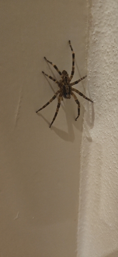
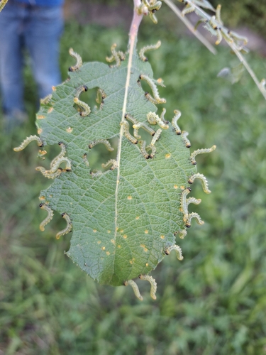
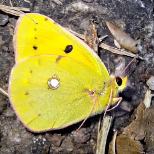
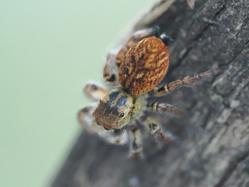
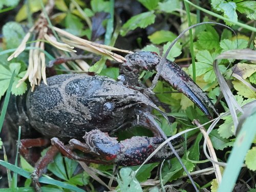
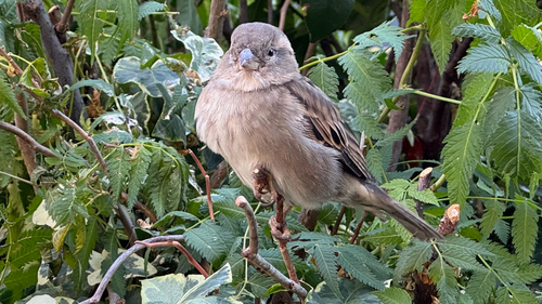
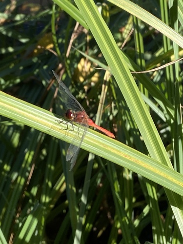
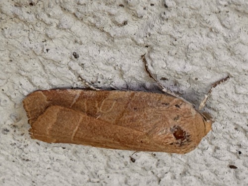
Research-grade observations from iNaturalist (within ~15 mi).
Events
Gallery
Sources
- • Wikipedia
- • Wikidata
- • iNaturalist
- • Open-Meteo / sunrise-sunset.org
- • Wikipedia Pageviews API