Browse / Switzerland / Ticino / Ponte Capriasca
Ponte Capriasca
Ticinovillage
Total population
1,804
Demographic figures from Swiss Federal Statistical Office. Overview below cites Wikipedia and may reference a different year.
City facts
Facts from Wikidata (CC0).
Overview
Ponte Capriasca is a municipality in the district of Lugano in the canton of Ticino in Switzerland.
Read more on WikipediaHistory & geography
History
Ponte Capriasca is first mentioned in 1335 as Ponte. In 1491 it was mentioned as Ponte Criviascha. Historically, it was part of bailiwick of Lugano. Under the rule of the Duchy of Milan as well as the Swiss Confederation, the village was an independent municipality with its own statutes and rights. The rights and statutes were first documented in 1443 and were confirmed in 1648. Early in the 16th century, the village was involved in the fierce fighting between the Guelphs and Ghibellines. In 1455, it separated from the Tesserete parish to form an independent parish. The parish church of S. Ambrogio is first mentioned in 1356 but is built on a Roman era foundation. Its present form dates from a rebuilding of 1835, in which the old bell tower and the nave were incorporated. The Last Supper in the interior dates from the 16th century and was modeled on Leonardo da Vinci's Last Supper. The painting was restored in 1951 and again in 1989–92. The local economy of the village was based on agriculture and the income from the seasonal migration, especially to northern Italy. From the 1970s the village experienced a building boom and its population increased fivefold. In 2005 slightly over half of the jobs are in the service sector and over three-quarters of the population are commuters.
Geography
Ponte Capriasca has an area, , of . Of this area, or 8.2% is used for agricultural purposes, while or 64.0% is forested. Of the rest of the land, or 8.7% is settled (buildings or roads), or 0.3% is either rivers or lakes and or 13.1% is unproductive land. Of the built up area, housing and buildings made up 6.3% and transportation infrastructure made up 1.6%. Out of the forested land, 44.5% of the total land area is heavily forested, while 17.3% is covered in small trees and shrubbery and 2.3% is covered with orchards or small clusters of trees. Of the agricultural land, 1.8% is used for growing crops and 6.3% is used for alpine pastures. All the water in the municipality is flowing water. Of the unproductive areas, 11.0% is unproductive vegetation and 2.1% is too rocky for vegetation. The municipality is located in the Lugano district, in the Valli di Lugano Region.
Excerpted from the corresponding Wikipedia article (CC BY-SA).
Geography
Coordinates & boundaries from the US Census TIGER/Line shapefiles.
Climate
Air quality
Walkability
Amenities nearby
Wildlife & biodiversity
Most-observed species
- Chusan PalmTrachycarpus fortunei (Hook.) H.Wendl. · Liliopsida7,971
- MallardAnas platyrhynchos Linnaeus, 1758 · Aves5,344
- Hooded CrowCorvus cornix Linnaeus, 1758 · Aves4,262
- Great TitParus major Linnaeus, 1758 · Aves3,571
- Eurasian BlackbirdTurdus merula Linnaeus, 1758 · Aves3,558
- European RobinErithacus rubecula (Linnaeus, 1758) · Aves3,275
- Common ChaffinchFringilla coelebs Linnaeus, 1758 · Aves3,209
- Eurasian CootFulica atra Linnaeus, 1758 · Aves3,164
Citizen-science & research observations from the Global Biodiversity Information Facility (GBIF).
Earthquake history
Most recent
- M 2.7 — 2022-08-234 km S of Turtmann, Switzerland
- M 4.5 — 2021-12-181 km WNW of Dalmine, Italy
- M 4.1 — 2020-12-170 km SW of Opera, Italy
- M 4.1 — 2017-03-068 km SSE of Muotathal, Switzerland
- M 3 — 2015-11-281 km ESE of Aviatico, Italy
- M 3.3 — 2010-05-111 km WNW of Albino, Italy
Events from the USGS Earthquake Catalog (global) (FDSN Event Web Service).
Photos
Sights & places nearby
Notable people from here
People born within ~10 km, from Wikidata (CC0). Click any name for their Wikipedia article.
Nearby places in Ticino
- Sala Capriasca0.5 mi away
- Capriasca1.2 mi away · pop. 6,524
- Lamone1.3 mi away · pop. 1,766
- Torricella-Taverne1.3 mi away · pop. 3,067
- Comano1.5 mi away · pop. 2,061
- Gravesano1.9 mi away · pop. 1,243
- Cadempino2 mi away · pop. 1,512
- Cadro2 mi away · pop. 2,114
- Villa Luganese2.2 mi away · pop. 571
- Sigirino2.2 mi away · pop. 596
- Manno2.3 mi away · pop. 1,270
- Vezia2.5 mi away · pop. 1,966
Geography & sun
Elevation, sunrise/sunset and daylight from Open-Meteo. Solar climatology from NASA POWER.
Nearby airports
Public attention
Pageview totals from the Wikimedia Pageviews API.
Books about Ponte Capriasca
Search results from Open Library.
Recent natural events nearby
Ground air-quality sensors
Recently spotted species
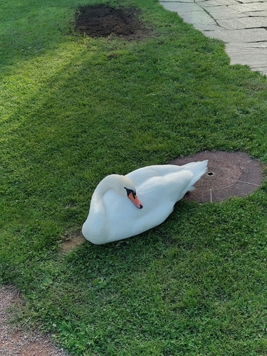
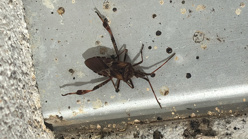
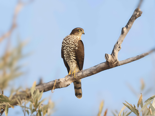
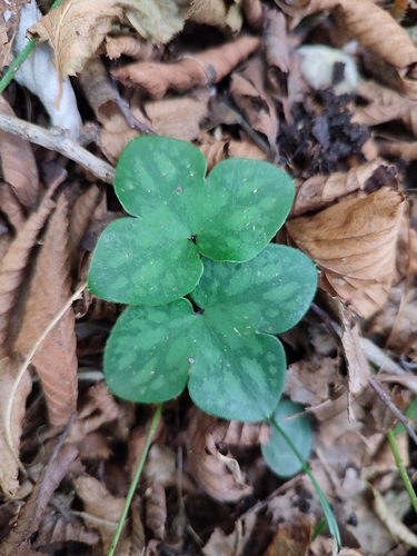
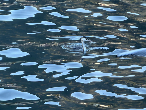
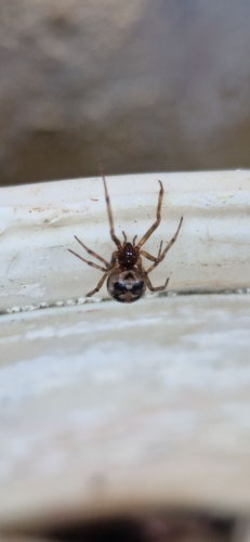
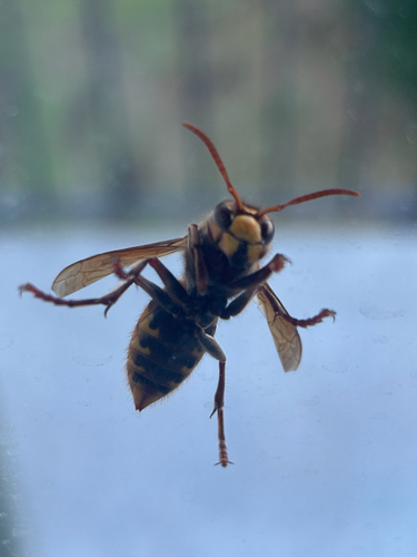
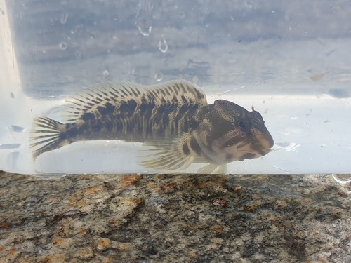
Research-grade observations from iNaturalist (within ~15 mi).
Events
Gallery
Official Identifiers
BFS — Swiss Federal Statistical Office
- BFS-Nr
- 5212
- Population (Wikidata)
- 1,904
- Wikidata
- Q67733
Gemeindenummer via Wikidata P771
Sources
- • Wikipedia
- • Wikidata
- • USGS Earthquake Catalog (global feed)
- • GBIF (Global Biodiversity Information Facility)
- • iNaturalist
- • Open-Meteo / sunrise-sunset.org
- • Wikipedia Pageviews API
- • Open Library
- • BFS — Swiss Federal Statistical Office — Gemeindenummer via Wikidata P771