Browse / Switzerland / Graubünden / Pontresina
Pontresina
Graubündenvillage

Pontresina
Total population
2,077
Air quality index
Demographic figures from Swiss Federal Statistical Office. Overview below cites Wikipedia and may reference a different year.
City facts
Sister cities
Facts from Wikidata (CC0).
Overview
Pontresina is a municipality in the Maloja Region in the canton of the Grisons in Switzerland.
Read more on WikipediaHistory & geography
Geography
Pontresina has an area, , of . Of this area, 16.7% is used for agricultural purposes, while 8.8% is forested. Of the rest of the land, 1.6% is settled (buildings or roads) and the remainder (72.9%) is non-productive (rivers, glaciers or mountains). It sits in Val Bernina, which is the highest altitude valley that branches off the Upper Engadin Valley. The municipality includes the highest mountain of the canton, Piz Bernina. Other high summits are Piz Zupò and Piz Palü. Pontresina is a noted tourist destination in its own right, but is often overshadowed by its more famous neighbor St. Moritz. It consists of the old village sections of Laret, San Spiert as well as Giarsun and the new sections on the mountain slopes (including Muragls). Nearby glaciers include the Morteratsch Glacier and the Roseg Glacier. The Morteratsch has a ski lift and a long run down the glacier and the glacier is an economic mainstay of the town. The Roseg Valley has a groomed cross country ski trail along its length.
Excerpted from the corresponding Wikipedia article (CC BY-SA).
Geography
Coordinates & boundaries from the US Census TIGER/Line shapefiles.
Climate
Air quality
Current readings from Open-Meteo Air Quality API (Copernicus CAMS European reanalysis).
Walkability
Amenities nearby
Wildlife & biodiversity
Most-observed species
- Large RingletErebia euryale Esper, 1777 · Insecta3,417
- Chalk-hill BlueLysandra coridon (Poda, 1761) · Insecta2,371
- Small BlueCupido minimus Füssly, 1775 · Insecta2,337
- red deerCervus elaphus Linnaeus, 1758 · Mammalia2,218
- Swiss Brassy RingletErebia tyndarus Esper, 1777 · Insecta2,144
- Mazarine BlueCyaniris semiargus (von Rottemburg, 1775) · Insecta1,693
- Small TortoiseshellAglais urticae (Linnaeus, 1758) · Insecta1,505
- Dark Green FritillarySpeyeria aglaja (Linnaeus, 1758) · Insecta1,501
Citizen-science & research observations from the Global Biodiversity Information Facility (GBIF).
Earthquake history
Most recent
- M 3.7 — 2026-04-264 km N of Quarten, Switzerland
- M 3.8 — 2022-09-012 km WSW of Sevelen, Switzerland
- M 4.5 — 2021-12-181 km WNW of Dalmine, Italy
- M 2.5 — 2021-10-035 km NNE of Silandro, Italy
- M 4 — 2020-10-255 km ESE of Ennenda, Switzerland
- M 3.6 — 2020-08-085 km SE of Gramais, Austria
Events from the USGS Earthquake Catalog (global) (FDSN Event Web Service).
Photos
Sights & places nearby
Notable people from here


People born within ~10 km, from Wikidata (CC0). Click any name for their Wikipedia article.
Nearby places in Graubünden
- Celerina2.7 mi away · pop. 1,509
- Bever4.3 mi away · pop. 636
- Champfèr4.5 mi away
- Surlej4.9 mi away
- Silvaplana5.6 mi away · pop. 1,000
- La Punt Chamues-ch6.1 mi away · pop. 759
- Madulain6.9 mi away · pop. 196
- Sils im Engadin7.9 mi away · pop. 708
- S-chanf9.3 mi away · pop. 748
- Maloja11.7 mi away · pop. 310
- Bivio12.2 mi away · pop. 189
- Bergün/Bravuogn12.2 mi away · pop. 503
Geography & sun
Elevation, sunrise/sunset and daylight from Open-Meteo. Solar climatology from NASA POWER.
Nearby airports
Public attention
Pageview totals from the Wikimedia Pageviews API.
Books about this place
Recent natural events nearby
Ground air-quality sensors
Recently spotted species
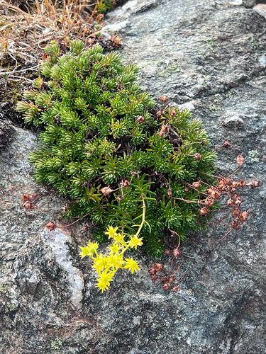
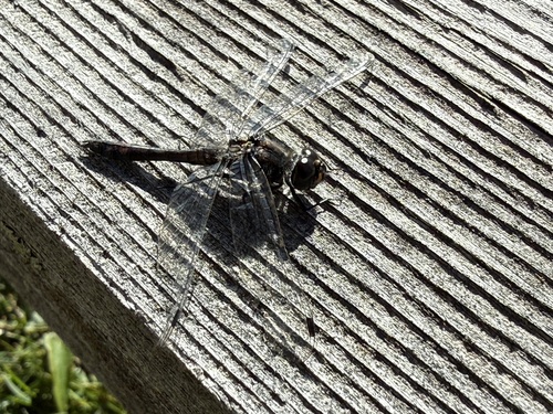
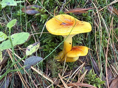
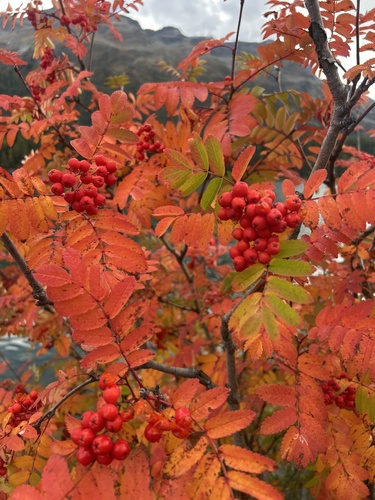
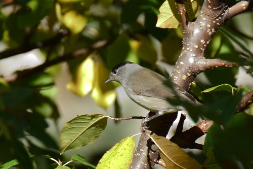
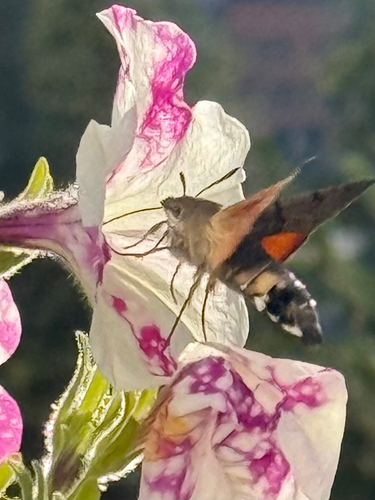
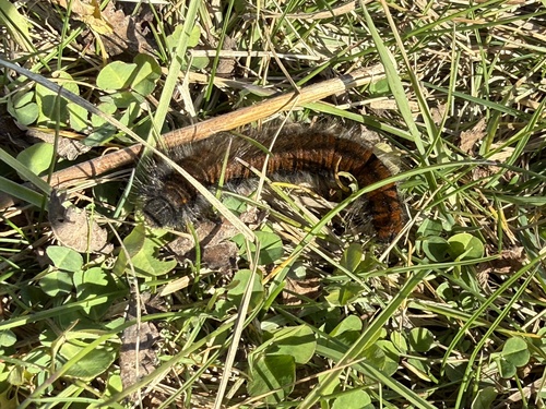
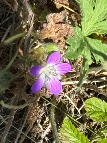
Research-grade observations from iNaturalist (within ~15 mi).
Events
Gallery
Official Identifiers
BFS — Swiss Federal Statistical Office
- BFS-Nr
- 3784
- Population (Wikidata)
- 2,162
- Wikidata
- Q69259
Gemeindenummer via Wikidata P771
Sources
- • Wikipedia
- • Wikidata
- • Open-Meteo Air Quality (CAMS)
- • USGS Earthquake Catalog (global feed)
- • GBIF (Global Biodiversity Information Facility)
- • iNaturalist
- • Open-Meteo / sunrise-sunset.org
- • Wikipedia Pageviews API
- • Wikidata SPARQL (CC0) — population, area, elevation, inception, head of government, Commons image
- • BFS — Swiss Federal Statistical Office — Gemeindenummer via Wikidata P771