Browse / Switzerland / Zurich / Regensberg
Regensberg
Zurichvillage

Regensberg
Total population
465
Demographic figures from Swiss Federal Statistical Office. Overview below cites Wikipedia and may reference a different year.
City facts
Facts from Wikidata (CC0).
Overview
Regensberg is a municipality in the Dielsdorf District of the Swiss canton of Zurich. It is located just to the west of Dielsdorf municipality, on a 617 m (2,024 ft)-ridge of the Lägern.
Read more on WikipediaHistory & geography
History
Regensberg was founded as a hilltop fortified settlement about 1245 by Baron Lüthold of Regensberg. The fortifications include a -high round tower dating from the 16th or 17th century and a -deep water well. Regensberg Reformed Church, originally dating from the 13th century, was rebuilt around 1540. During the mid-13th century, relations between the Barons of Regensberg and the city of Zurich became strained. At about this same time, the barons began to argue with the Habsburgs over who would inherit the lands of the now-extinct Kyburg family. In 1267, the disputes led to war between the barons and the combined Zurich and Habsburg forces. The barons lost this war, and rapidly declined in power over the following half-century. In 1302, they sold Regensberg to the Habsburgs. The Habsburgs established an Amt Regensberg, with a Habsburg-appointed Schultheiß leading the town council. Under the Habsburgs, the town expanded into a market town, and Regensberg Castle was the political centre of the area now corresponding to the Dielsdorf district. In 1409, the Habsburg duke Frederick IV (known as Frederick of the Empty Pockets) had to pawn Regensberg to the city of Zurich; however, it wasn't until 1417 that Regensberg was fully owned by the city. They established an Obervogtei at Regensberg which ruled over thirteen surrounding villages. In 1540, the upper castle burned down, but the lower gates and the donjon survived because they were separated from the upper castle by a deep ditch. The upper castle was rebuilt the following year. During the Reformation in Zürich, St. Martin's Abbey on Zürichberg at Fluntern was demolished. Stone blocks and two bells from the abbey were brought by ox cart to the church at Regensberg to rebuild it. Following the collapse of the Swiss…
Geography
Regensberg has an area of . Of this area, 34.5% is used for agricultural purposes, while 56.7% is forested. The rest of the land, 8.8%, is settled.
Excerpted from the corresponding Wikipedia article (CC BY-SA).
Geography
Coordinates & boundaries from the US Census TIGER/Line shapefiles.
Climate
Air quality
Walkability
Amenities nearby
Wildlife & biodiversity
Earthquake history
Photos
Sights & places nearby
Notable people from here


People born within ~10 km, from Wikidata (CC0). Click any name for their Wikipedia article.
Nearby places in Zurich
- Dielsdorf0.8 mi away · pop. 5,917
- Steinmaur1.4 mi away · pop. 2,742
- Schöfflisdorf1.5 mi away · pop. 1,133
- Boppelsen1.8 mi away · pop. 1,018
- Oberweningen2 mi away · pop. 1,796
- Schleinikon2.1 mi away · pop. 637
- Niederhasli2.3 mi away · pop. 9,085
- Dachsleren2.4 mi away
- Neerach2.5 mi away · pop. 2,366
- Otelfingen2.7 mi away · pop. 2,777
- Dänikon2.9 mi away · pop. 1,888
- Bachs2.9 mi away · pop. 577
Geography & sun
Elevation, sunrise/sunset and daylight from Open-Meteo. Solar climatology from NASA POWER.
Nearby airports
Public attention
Pageview totals from the Wikimedia Pageviews API.
Books about Regensberg
Search results from Open Library.
Recent natural events nearby
Ground air-quality sensors
Recently spotted species
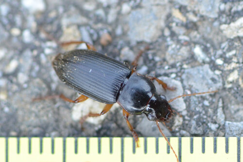
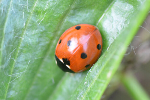
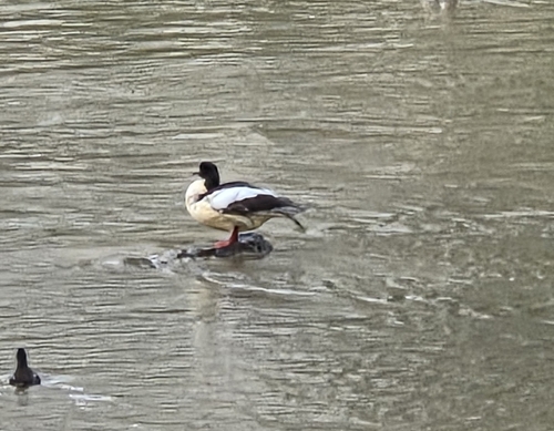
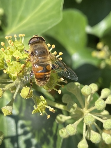
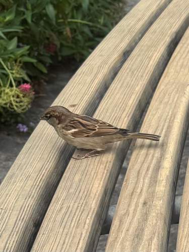
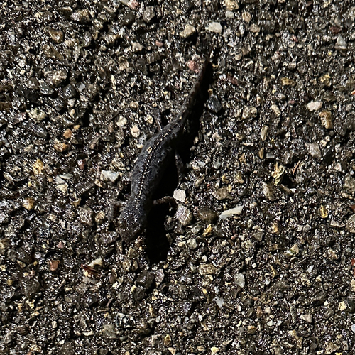
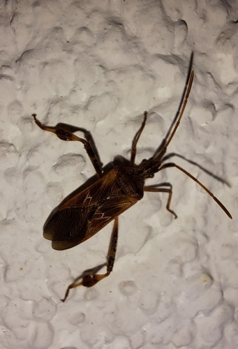
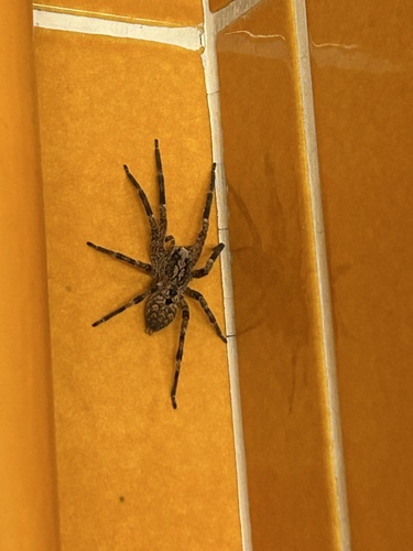
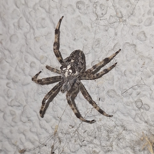
Research-grade observations from iNaturalist (within ~15 mi).
Events
Gallery
Official Identifiers
BFS — Swiss Federal Statistical Office
- BFS-Nr
- 95
- Population (Wikidata)
- 473
- Wikidata
- Q70197
Gemeindenummer via Wikidata P771
Sources
- • Wikipedia
- • Wikidata
- • iNaturalist
- • Open-Meteo / sunrise-sunset.org
- • Wikipedia Pageviews API
- • Open Library
- • BFS — Swiss Federal Statistical Office — Gemeindenummer via Wikidata P771