Browse / Switzerland / Bern / Riggisberg
Riggisberg
Bernvillage

Riggisberg
Total population
2,491
Demographic figures from Swiss Federal Statistical Office. Overview below cites Wikipedia and may reference a different year.
City facts
Facts from Wikidata (CC0).
Overview
Riggisberg is a municipality in the Bern-Mittelland administrative district in the canton of Bern in Switzerland.
Read more on WikipediaHistory & geography
History
Riggisberg is first mentioned in 1239 as Ricasperc. In 1270 it was mentioned as Riggesberg. The oldest trace of a settlement in the area are several Iron Age graves at Kreuzbühlhölzli. During the Roman era there was a settlement at Muriboden. During the Middle Ages the Fribourg noble family of Riggisberg was established with a seat in Riggisberg. However, the family soon lost or sold all their rights and land in the village and by the 13th century other nobles and monasteries owned parts of the village. It passed through several noble landowners until it was acquired by Petermann von Wichtrach when he married Agnes von Burgistein in 1354. In 1358 Rudolph of Neuchâtel-Nidau acquired the high court and rulership over the Herrschaft of Riggisberg that included the castle of Uf Gsteig, the village of Riggisberg, scattered farms and the courts of Riggisberg and Ruti. In 1387 the powerful Erlach family of Bern acquired the village and Herrschaft. In 1700 the Erlachs built a new and more comfortable castle near the old castle. Historically, Riggisberg and Rüti both belonged to the large parish of Thurnen. They split off to form their own parish in 1874 and became fully independent in 1935. The local St. Sebastian Chapel was probably built in the 12th century, but was first mentioned in 1343. The late-Romanesque choir tower was probably built during the second half of the 12th century. The current nave was built in 1687 but expanded in 1939 and again in 1977-79. The oldest trace of a settlement in the area is a cache of Early-Bronze Age axes. During the High Middle Ages the Freiherr von Rümligen owned a vast swathe of land between the Gürbe and Sense rivers. They donated some of their estates to found and support Rüeggisberg and Röthenbach Priories. In 1380 the…
Geography
Riggisberg has an area of . As of 2012, a total of or 43.0% is used for agricultural purposes, while or 51.1% is forested. The rest of the municipality is or 5.4% is settled (buildings or roads), or 0.4% is either rivers or lakes and or 0.3% is unproductive land. During the same year, housing and buildings made up 3.0% and transportation infrastructure made up 1.8%. A total of 49.6% of the total land area is heavily forested and 1.3% is covered with orchards or small clusters of trees. Of the agricultural land, 11.9% is used for growing crops and 27.8% is pasturage and 2.6% is used for alpine pastures. All the water in the municipality is flowing water. The municipality is located in the valley between the Längenberg and the Gibelegg. It consists of the villages of Riggisberg and Rüti bei Riggisberg as well as scattered hamlets and farm houses. On 1 January 2009 the former municipality of Rüti bei Riggisberg merged into the municipality of Riggisberg. On 31 December 2009 Amtsbezirk Seftigen, the municipality's former district, was dissolved. On the following day, 1 January 2010, it joined the newly created Verwaltungskreis Bern-Mittelland.
Excerpted from the corresponding Wikipedia article (CC BY-SA).
Geography
Coordinates & boundaries from the US Census TIGER/Line shapefiles.
Climate
Air quality
Walkability
Amenities nearby
Wildlife & biodiversity
Most-observed species
- Meadow BrownManiola jurtina (Linnaeus, 1758) · Insecta3,508
- Annual FleabaneErigeron annuus (L.) Pers. · Magnoliopsida3,049
- Southern DamselflyCoenagrion mercuriale (Charpentier, 1840) · Insecta3,032
- Common ToadBufo bufo (Linnaeus, 1758) · Amphibia2,485
- European roe deerCapreolus capreolus (Linnaeus, 1758) · Mammalia2,467
- RingletAphantopus hyperantus (Linnaeus, 1758) · Insecta2,198
- Small TortoiseshellAglais urticae (Linnaeus, 1758) · Insecta2,102
- Eurasian beaverCastor fiber Linnaeus, 1758 · Mammalia1,961
Citizen-science & research observations from the Global Biodiversity Information Facility (GBIF).
Earthquake history
Most recent
- M 4.1 — 2025-07-214 km E of Frutigen, Switzerland
- M 3.2 — 2024-05-099 km SW of Evolène, Switzerland
- M 4.4 — 2023-03-221 km NW of Pont-de-Roide, France
- M 2.7 — 2022-08-234 km S of Turtmann, Switzerland
- M 4.1 — 2021-12-242 km WSW of Blamont, France
- M 4.1 — 2021-10-0510 km SSW of Evolène, Switzerland
Events from the USGS Earthquake Catalog (global) (FDSN Event Web Service).
Photos
Sights & places nearby
Notable people from here


People born within ~10 km, from Wikidata (CC0). Click any name for their Wikipedia article.
Nearby places in Bern
- Mühlethurnen1.4 mi away · pop. 1,378
- Kirchenthurnen1.4 mi away · pop. 273
- Rümligen1.6 mi away · pop. 440
- Gelterfingen2.8 mi away · pop. 286
- Mühledorf BE3 mi away · pop. 264
- Noflen BE3.1 mi away · pop. 299
- Kirchdorf BE3.3 mi away · pop. 1,853
- Gurzelen3.3 mi away · pop. 829
- Rüschegg-Graben3.8 mi away
- Jaberg4.3 mi away · pop. 252
- Belpberg4.4 mi away · pop. 373
- Zimmerwald4.8 mi away
Geography & sun
Elevation, sunrise/sunset and daylight from Open-Meteo. Solar climatology from NASA POWER.
Nearby airports
Public attention
Pageview totals from the Wikimedia Pageviews API.
Books about Riggisberg
Search results from Open Library.
Recent natural events nearby
Ground air-quality sensors
Recently spotted species
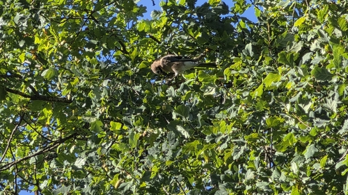
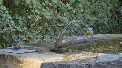
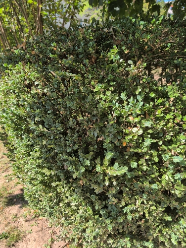
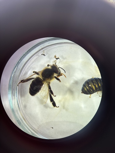
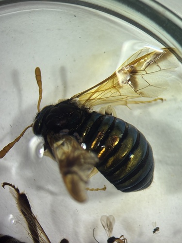
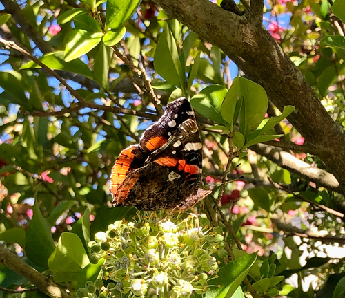
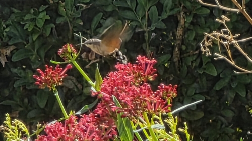
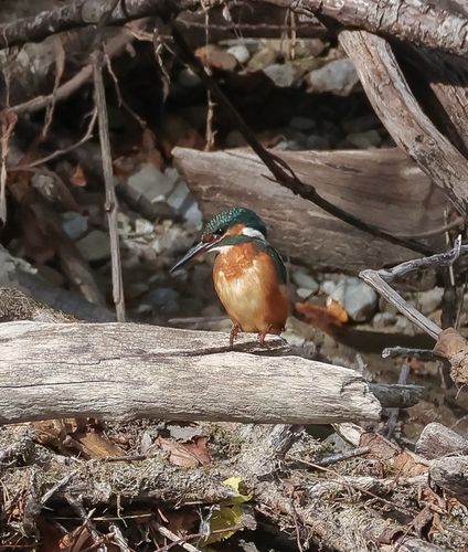
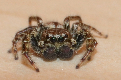
Research-grade observations from iNaturalist (within ~15 mi).
Events
Gallery
Official Identifiers
BFS — Swiss Federal Statistical Office
- BFS-Nr
- 879
- Population (Wikidata)
- 2,553
- Wikidata
- Q65618
Gemeindenummer via Wikidata P771
Sources
- • Wikipedia
- • Wikidata
- • USGS Earthquake Catalog (global feed)
- • GBIF (Global Biodiversity Information Facility)
- • iNaturalist
- • Open-Meteo / sunrise-sunset.org
- • Wikipedia Pageviews API
- • Open Library
- • Wikidata SPARQL (CC0) — population, area, elevation, inception, head of government, Commons image
- • BFS — Swiss Federal Statistical Office — Gemeindenummer via Wikidata P771