Browse / Switzerland / Bern / Rüeggisberg
Rüeggisberg
Bernvillage

Rüeggisberg
Total population
1,810
Air quality index
Demographic figures from Swiss Federal Statistical Office. Overview below cites Wikipedia and may reference a different year.
City facts
Facts from Wikidata (CC0).
Overview
Rüeggisberg is a municipality in the Bern-Mittelland administrative district in the canton of Bern in Switzerland.
Read more on WikipediaHistory & geography
History
Rüeggisberg is first mentioned in 1075 as mons Richeri. In 1224 it was mentioned as Ruogersperg. Under Cuno of Siegburg and Ulrich of Zell the first cells were built. Construction of the Romanesque church lasted from about 1100 to about 1185, of which there still remain the north transept and parts of the crossing tower. The Priory gradually lost power and in 1484 it was incorporated into the newly built college of the Augustinian Canons of Bern Minster. By 1532, when much of the town was destroyed in a fire, the Priory was abandoned. The church was shut down in 1541 during the Reformation and was partly demolished for building material. The village church of St. Martin was built during the early Romanesque period. It was expanded several times, in the first half of the 12th century, then again after a fire in 1532 and several times during the 17th to 20th centuries. For the early history of the village, the villagers were serfs to the Priory. However, as the Priory lost power the villagers gained rights and freedoms. In 1500 the village became fully independent from the Priory. Traditionally, the villagers raised crops in fields both on the valley floor and in the high alpine meadows. Beginning in the 19th century they gradually shifted to pasturing cattle for milk and cheese in the alpine meadows during the spring and summer. In 1803, with the reorganization of the Act of Mediation, the municipality was assigned to the Seftigen District. Between 1850 and 1980 the population of the municipality steadily dropped as residents emigrated out of Switzerland or moved to the cities of the Swiss Plateau for work. This trend began to reverse around 1975, when improved roads and a regular bus to Bern allowed residents to commute to jobs in the cities. Today just over half of…
Geography
Rüeggisberg has an area of . As of 2012, a total of or 64.2% is used for agricultural purposes, while or 29.5% is forested. The rest of the municipality is or 4.3% is settled (buildings or roads), or 0.8% is either rivers or lakes and or 1.0% is unproductive land. During the same year, housing and buildings made up 2.2% and transportation infrastructure made up 2.0%. A total of 26.4% of the total land area is heavily forested and 3.1% is covered with orchards or small clusters of trees. Of the agricultural land, 13.1% is used for growing crops and 43.0% is pasturage, while 1.1% is used for orchards or vine crops and 6.9% is used for alpine pastures. All the water in the municipality is flowing water.
Excerpted from the corresponding Wikipedia article (CC BY-SA).
Geography
Coordinates & boundaries from the US Census TIGER/Line shapefiles.
Climate
Air quality
Current readings from Open-Meteo Air Quality API (Copernicus CAMS European reanalysis).
Walkability
Amenities nearby
Wildlife & biodiversity
Most-observed species
- Meadow BrownManiola jurtina (Linnaeus, 1758) · Insecta3,347
- Annual FleabaneErigeron annuus (L.) Pers. · Magnoliopsida3,180
- Southern DamselflyCoenagrion mercuriale (Charpentier, 1840) · Insecta3,032
- red foxVulpes vulpes (Linnaeus, 1758) · Mammalia2,806
- European roe deerCapreolus capreolus (Linnaeus, 1758) · Mammalia2,779
- Common ToadBufo bufo (Linnaeus, 1758) · Amphibia2,676
- common frogRana temporaria Linnaeus, 1758 · Amphibia2,234
- Eurasian beaverCastor fiber Linnaeus, 1758 · Mammalia2,163
Citizen-science & research observations from the Global Biodiversity Information Facility (GBIF).
Earthquake history
Most recent
- M 4.1 — 2025-07-214 km E of Frutigen, Switzerland
- M 3.2 — 2024-05-099 km SW of Evolène, Switzerland
- M 4.4 — 2023-03-221 km NW of Pont-de-Roide, France
- M 3.9 — 2022-09-101 km WSW of Zimmersheim, France
- M 2.7 — 2022-08-234 km S of Turtmann, Switzerland
- M 4.1 — 2021-12-242 km WSW of Blamont, France
Events from the USGS Earthquake Catalog (global) (FDSN Event Web Service).
Photos
Sights & places nearby
Notable people from here
Nearby places in Bern
- Rüschegg-Graben2.5 mi away
- Rümligen2.7 mi away · pop. 440
- Kirchenthurnen2.9 mi away · pop. 273
- Mühlethurnen3.3 mi away · pop. 1,378
- Gelterfingen3.9 mi away · pop. 286
- Oberbalm4 mi away · pop. 835
- Zimmerwald4.3 mi away
- Aekenmatt4.4 mi away
- Schwarzenburg4.7 mi away · pop. 6,773
- Mühledorf BE4.7 mi away · pop. 264
- Belpberg5 mi away · pop. 373
- Noflen BE5.1 mi away · pop. 299
Geography & sun
Elevation, sunrise/sunset and daylight from Open-Meteo. Solar climatology from NASA POWER.
Nearby airports
Public attention
Pageview totals from the Wikimedia Pageviews API.
Books about Rüeggisberg
Search results from Open Library.
Recent natural events nearby
Ground air-quality sensors
Recently spotted species
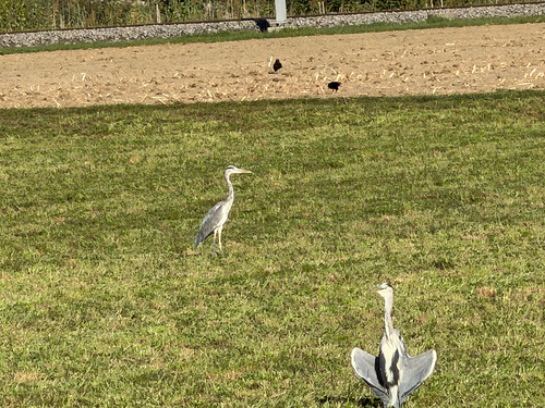
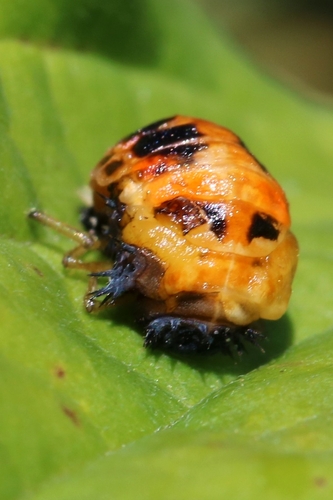
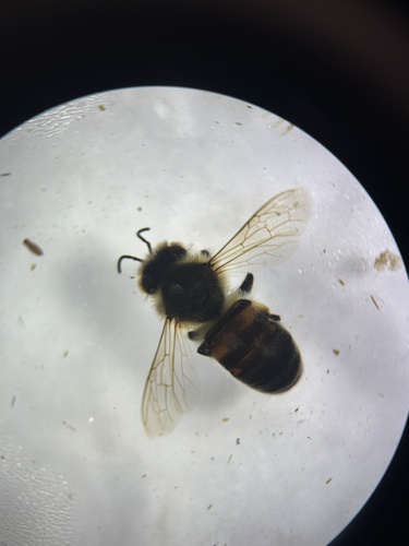
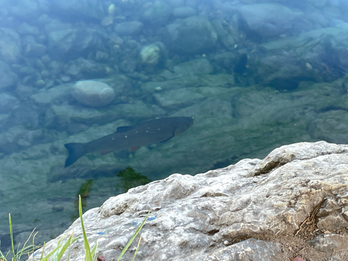
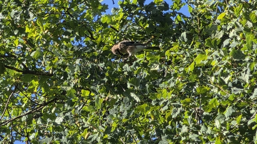
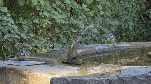
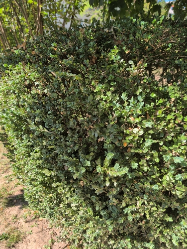
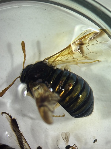
Research-grade observations from iNaturalist (within ~15 mi).
Events
Gallery
Official Identifiers
BFS — Swiss Federal Statistical Office
- BFS-Nr
- 880
- Population (Wikidata)
- 1,791
- Wikidata
- Q66387
Gemeindenummer via Wikidata P771
Sources
- • Wikipedia
- • Wikidata
- • Open-Meteo Air Quality (CAMS)
- • USGS Earthquake Catalog (global feed)
- • GBIF (Global Biodiversity Information Facility)
- • iNaturalist
- • Open-Meteo / sunrise-sunset.org
- • Wikipedia Pageviews API
- • Open Library
- • Wikidata SPARQL (CC0) — population, area, elevation, inception, head of government, Commons image
- • BFS — Swiss Federal Statistical Office — Gemeindenummer via Wikidata P771