Browse / Switzerland / Aargau / Rupperswil
Rupperswil
Aargauvillage

Rupperswil
Total population
5,484
Demographic figures from Swiss Federal Statistical Office. Overview below cites Wikipedia and may reference a different year.
City facts
Facts from Wikidata (CC0).
Overview
Rupperswil is a municipality in the district of Lenzburg in the canton of Aargau in Switzerland.
Read more on WikipediaHistory & geography
History
A partially preserved Roman-era tile kiln from the 2nd century was discovered in 1911. There is also evidence of the emergence of a late-Alamanni village in the 8th century. The modern village of Rupperswil is first mentioned in 1173 as Rubeswile. It belonged to the realm of Lenzburg and passed from the Lenzburg family to the Kyburgs then in 1273 to the rule of the Habsburgs. After the conquest of the Aargau in 1415 it became part of the Bernese District () of Lenzburg. Around the beginning of the 13th to the mid-14th century, the Lords of Rubiswile, a Kyburg Ministerialis family (unfree knights in the service of another lord) is mentioned. They were the first Twingherren of Rupperswil. The Twingherrschaft was acquired between 1295 and 1312 by the Lords of Baldegg which then passed to the Lords of Reinach, and finally to the Lords of Hallwyl. In 1521 they sold the rights to low justice to Bern. Under the Bernese Bailiwick of Lenzburg, Rupperswil was the center of a lower court district. In 1803 Rupperswil became part of the newly created Canton of Aargau. Ecclesiastically, until 1681 Rupperswil belonged to a parish of Suhr. In 1528 the city converted during the Protestant Reformation. From 1676 to 1681, the Gem tried, eventually successfully, to create a separate parish. The village church was built from donations by the villagers between 1275 and 1370. In 1500 a choir and tower were added to the building. In 1921–22 the old church was replaced by a new building. In the early 19th century the textile industry increasingly changed the formerly agricultural village. A spinning mill was established in 1836, which produced until the 1970s. In 1858, Rupperswil became a station on the railroad line Brugg–Aarau. In 1874, construction began on the Southern Railway line.…
Geography
Rupperswil has an area, , of . Of this area, or 29.8% is used for agricultural purposes, while or 36.9% is forested. Of the rest of the land, or 28.8% is settled (buildings or roads), or 3.4% is either rivers or lakes and or 0.2% is unproductive land. Of the built-up area, industrial buildings made up 4.5% of the total area while housing and buildings made up 12.4% and transportation infrastructure made up 9.0%. Power and water infrastructure as well as other special developed areas made up 2.1% of the area. Out of the forested land, all of the forested land area is covered with heavy forests. Of the agricultural land, 22.9% is used for growing crops and 5.6% is pastures, while 1.3% is used for orchards or vine crops. All the water in the municipality is in rivers and streams. The municipality is located in the Lenzburg district, south of the Aare river. It consists of the haufendorf village (an irregular, unplanned and quite closely packed village, built around a central square) of Rupperswil.
Excerpted from the corresponding Wikipedia article (CC BY-SA).
Geography
Coordinates & boundaries from the US Census TIGER/Line shapefiles.
Climate
Air quality
Walkability
Amenities nearby
Wildlife & biodiversity
Most-observed species
- Meadow BrownManiola jurtina (Linnaeus, 1758) · Insecta12,268
- Annual FleabaneErigeron annuus (L.) Pers. · Magnoliopsida9,717
- Common BluePolyommatus icarus (von Rottemburg, 1775) · Insecta7,061
- Marbled WhiteMelanargia galathea Linnaeus, 1758 · Insecta5,854
- European roe deerCapreolus capreolus (Linnaeus, 1758) · Mammalia5,768
- Small HeathCoenonympha pamphilus (Linnaeus, 1758) · Insecta4,393
- bow-winged grasshopperChorthippus biguttulus (Linnaeus, 1758) · Insecta4,227
- Indian BalsamImpatiens glandulifera Royle · Magnoliopsida3,649
Citizen-science & research observations from the Global Biodiversity Information Facility (GBIF).
Earthquake history
Most recent
- M 3.7 — 2026-04-264 km N of Quarten, Switzerland
- M 4.1 — 2025-07-214 km E of Frutigen, Switzerland
- M 3.5 — 2024-06-271 km SSW of Todtmoos, Germany
- M 4.2 — 2024-06-042 km NNW of Unteriberg, Switzerland
- M 3.9 — 2022-09-101 km WSW of Zimmersheim, France
- M 4.1 — 2021-12-242 km WSW of Blamont, France
Events from the USGS Earthquake Catalog (global) (FDSN Event Web Service).
Photos
Sights & places nearby
Notable people from here


People born within ~10 km, from Wikidata (CC0). Click any name for their Wikipedia article.
Nearby places in Aargau
- Auenstein1.1 mi away · pop. 1,574
- Wildegg1.9 mi away
- Niederlenz2.3 mi away · pop. 4,754
- Biberstein2.3 mi away · pop. 1,584
- Möriken AG2.7 mi away
- Oberflachs2.7 mi away · pop. 468
- Thalheim2.7 mi away · pop. 836
- Suhr3 mi away · pop. 10,130
- Gränichen3.3 mi away · pop. 7,706
- Schinznach Bad3.9 mi away · pop. 1,298
- Küttigen4.1 mi away · pop. 6,086
- Othmarsingen4.2 mi away · pop. 2,782
Geography & sun
Nearby airports
Public attention
Books about this place
Recent natural events nearby
Ground air-quality sensors
Recently spotted species
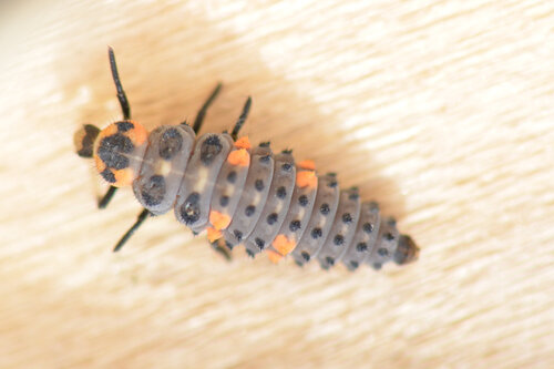
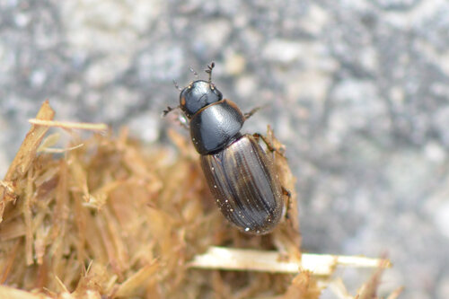
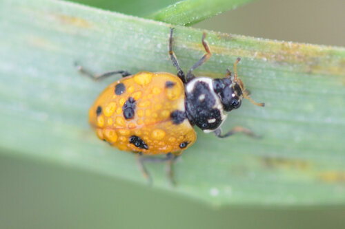
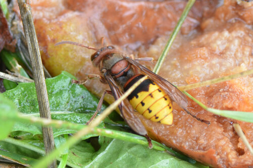
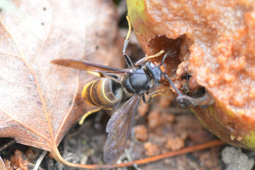
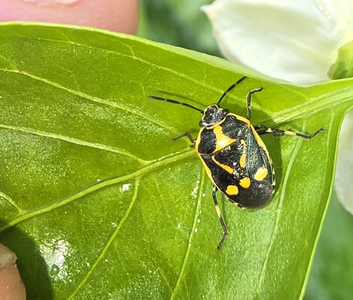
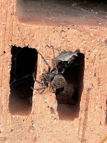
Research-grade observations from iNaturalist (within ~15 mi).
Events
Gallery
Official Identifiers
BFS — Swiss Federal Statistical Office
- BFS-Nr
- 4206
- Population (Wikidata)
- 5,486
- Wikidata
- Q65306
Gemeindenummer via Wikidata P771
Sources
- • Wikipedia
- • Wikidata
- • USGS Earthquake Catalog (global feed)
- • GBIF (Global Biodiversity Information Facility)
- • iNaturalist
- • Wikidata SPARQL (CC0) — population, area, elevation, inception, head of government, Commons image
- • BFS — Swiss Federal Statistical Office — Gemeindenummer via Wikidata P771