Browse / Switzerland / Appenzell Innerrhoden / Rüte
Rüte
Appenzell Innerrhodenvillage

Rüte
Total population
2,915
Founded
1872
Demographic figures from Swiss Federal Statistical Office. Overview below cites Wikipedia and may reference a different year.
City facts
Facts from Wikidata (CC0).
Overview
Rüte District was a district in the canton of Appenzell Innerrhoden in Switzerland.
Read more on WikipediaHistory & geography
History
Rüte is first mentioned around 1420-21 as Rütiner rod. On 1 May 2022, the former districts of Rüte and Schwende merged to form the new district of Schwende-Rüte.
Geography
Rüte has an area, , of . Of this area, 55.7% is used for agricultural purposes, while 31.8% is forested. Of the rest of the land, 3.4% is settled (buildings or roads) and 9.1% is unproductive land. The district stretches from Altmann in the south to the hill country around the Hirschberg in the north. It includes the villages of Brülisau, Eggerstanden and Steinegg as well as portion of Weissbad between the Brüel, Schwendebach and Sitter rivers and the eastern portion of the Appenzell. The administrative center of the district is Steinegg.
Excerpted from the corresponding Wikipedia article (CC BY-SA).
Geography
Coordinates & boundaries from the US Census TIGER/Line shapefiles.
Climate
10-year averages from ERA5 reanalysis (Open-Meteo).
Air quality
Walkability
Amenities nearby
Wildlife & biodiversity
Most-observed species
- Indian BalsamImpatiens glandulifera Royle · Magnoliopsida13,766
- Annual FleabaneErigeron annuus (L.) Pers. · Magnoliopsida10,734
- Japanese KnotweedReynoutria japonica Houtt. · Magnoliopsida3,942
- Meadow BrownManiola jurtina (Linnaeus, 1758) · Insecta3,650
- Canadian GoldenrodSolidago canadensis L. · Magnoliopsida2,977
- Early Goldenrod, Tall goldenrod, Giant goldenrodSolidago gigantea Aiton · Magnoliopsida2,619
- common frogRana temporaria Linnaeus, 1758 · Amphibia2,318
- Fire salamanderSalamandra salamandra (Linnaeus, 1758) · Amphibia2,134
Citizen-science & research observations from the Global Biodiversity Information Facility (GBIF).
Earthquake history
Most recent
- M 3.7 — 2026-04-264 km N of Quarten, Switzerland
- M 4.2 — 2024-06-042 km NNW of Unteriberg, Switzerland
- M 3.8 — 2022-09-012 km WSW of Sevelen, Switzerland
- M 4 — 2020-10-255 km ESE of Ennenda, Switzerland
- M 3.6 — 2020-08-085 km SE of Gramais, Austria
- M 3.8 — 2018-02-014 km N of Innerbraz, Austria
Events from the USGS Earthquake Catalog (global) (FDSN Event Web Service).
Photos
Sights & places nearby
Notable people from here


People born within ~10 km, from Wikidata (CC0). Click any name for their Wikipedia article.
Nearby places in Appenzell Innerrhoden
- Brülisau0.5 mi away
- Weissbad1.1 mi away
- Schwende1.1 mi away · pop. 1,935
- Steinegg1.7 mi away
- Eggerstanden2 mi away
- Appenzell2.9 mi away · pop. 5,751
- Appenzell Meistersrüte3.2 mi away
- Gontenbad4.4 mi away
- Enggenhütten5.6 mi away
- Gonten5.6 mi away · pop. 1,442
- Haslen AI6.1 mi away · pop. 1,146
- Oberegg9.3 mi away · pop. 1,796
Geography & sun
Elevation, sunrise/sunset and daylight from Open-Meteo. Solar climatology from NASA POWER.
Nearby airports
Public attention
Pageview totals from the Wikimedia Pageviews API.
Books about this place
Recent natural events nearby
Ground air-quality sensors
Recently spotted species
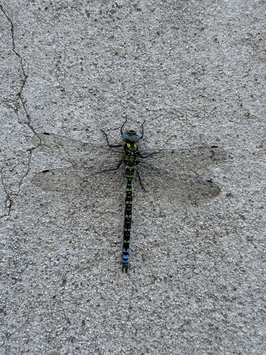
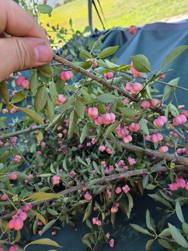
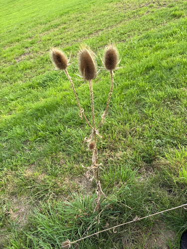
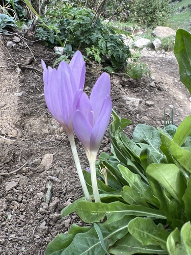
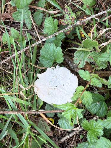
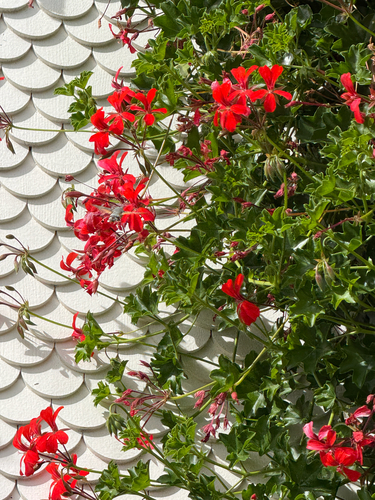
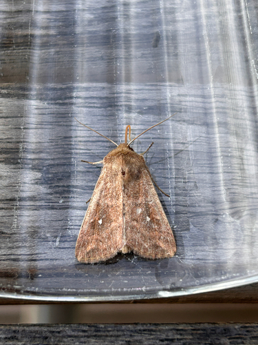
Research-grade observations from iNaturalist (within ~15 mi).
Events
Gallery
Official Identifiers
BFS — Swiss Federal Statistical Office
- BFS-Nr
- 3103
- Population (Wikidata)
- 3,648
- Wikidata
- Q67188
Gemeindenummer via Wikidata P771
Sources
- • Wikipedia
- • Open-Meteo (ERA5 reanalysis)
- • Wikidata
- • USGS Earthquake Catalog (global feed)
- • GBIF (Global Biodiversity Information Facility)
- • iNaturalist
- • Open-Elevation
- • Open-Meteo / sunrise-sunset.org
- • Wikipedia Pageviews API
- • Wikidata SPARQL (CC0) — population, area, elevation, inception, head of government, Commons image
- • BFS — Swiss Federal Statistical Office — Gemeindenummer via Wikidata P771