Browse / Switzerland / Valais / Saas-Fee
Saas-Fee
Valaisvillage

Saas-Fee
Total population
1,621
Demographic figures from Swiss Federal Statistical Office. Overview below cites Wikipedia and may reference a different year.
City facts
Sister cities
Facts from Wikidata (CC0).
Overview
Saas-Fee is the main village in the Saastal, or the Saas Valley, and is a municipality in the district of Visp in the canton of Valais in Switzerland. The village is situated on a high mountain plateau at 1,800 meters, surrounded by a total of 13 peaks above 4,000 meters which is the highest concentration in the Alps, giving the village the nickname the Pearl of the Alps. It is a classic ski resort characterised by well-preserved Swiss wood architecture and a car-free city centre. The villages in its neighbourhood are Saas-Almagell, Saas-Grund and Saas-Balen.
Read more on WikipediaHistory & geography
History
Saas-Fee is first mentioned in 1304 as vee. The municipality was formerly known by its French name Fée (); however, that name is no longer used.
Geography
Saas-Fee has an area, , of . Of this area, 5.7% is used for agricultural purposes, while 9.5% is forested. Of the rest of the land, 1.3% is settled (buildings or roads) and 83.6% is unproductive land. The municipality is located in the Visp district, at the foot of Dom Mountain. The village is surrounded by thirteen Four-thousander mountains (mountains that are at least above sea level).
Excerpted from the corresponding Wikipedia article (CC BY-SA).
Geography
Coordinates & boundaries from the US Census TIGER/Line shapefiles.
Climate
10-year averages from ERA5 reanalysis (Open-Meteo).
Air quality
Walkability
Amenities nearby
Wildlife & biodiversity
Earthquake history
Photos
Sights & places nearby
Notable people from here
Nearby places in Valais
Geography & sun
Elevation, sunrise/sunset and daylight from Open-Meteo. Solar climatology from NASA POWER.
Nearby airports
Public attention
Pageview totals from the Wikimedia Pageviews API.
Books about Saas-Fee

Search results from Open Library.
Recent natural events nearby
Ground air-quality sensors
Recently spotted species
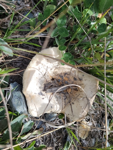
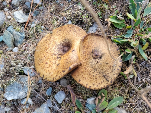
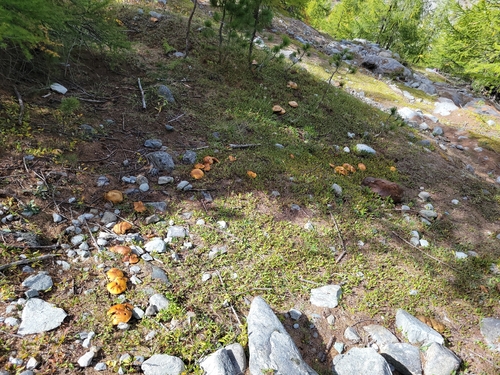
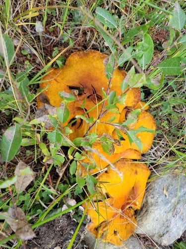
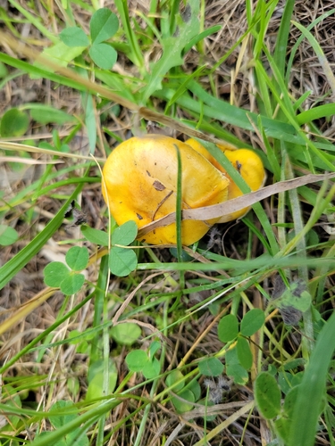
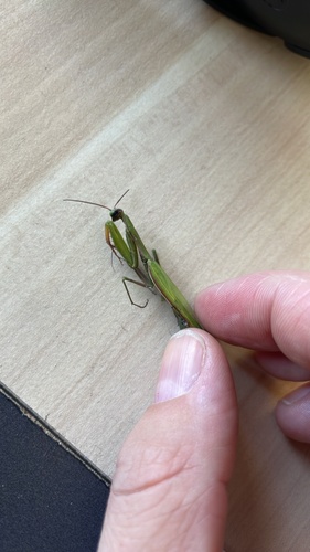
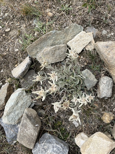
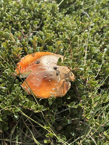
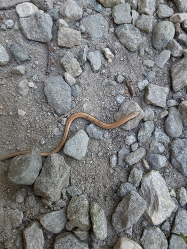
Research-grade observations from iNaturalist (within ~15 mi).
Events
Gallery
Official Identifiers
BFS — Swiss Federal Statistical Office
- BFS-Nr
- 6290
- Population (Wikidata)
- 1,563
- Wikidata
- Q69693
Gemeindenummer via Wikidata P771
Sources
- • Wikipedia
- • Open-Meteo (ERA5 reanalysis)
- • Wikidata
- • iNaturalist
- • Open-Meteo / sunrise-sunset.org
- • Wikipedia Pageviews API
- • Open Library
- • Wikidata SPARQL (CC0) — population, area, elevation, inception, head of government, Commons image
- • BFS — Swiss Federal Statistical Office — Gemeindenummer via Wikidata P771