Browse / Switzerland / Jura / Saignelégier
Saignelégier
Juravillage

Saignelégier
Total population
2,558
Demographic figures from Swiss Federal Statistical Office. Overview below cites Wikipedia and may reference a different year.
City facts
Facts from Wikidata (CC0).
Overview
Saignelégier is a municipality in the canton of Jura in Switzerland. It is the seat of the district of Franches-Montagnes. On 1 January 2009, the formerly independent municipalities of Goumois and Les Pommerats merged into Saignelégier.
Read more on WikipediaHistory & geography
History
Saignelégier is first mentioned in 1294 as Saignelegier. The municipality was formerly known by its German name Sankt Leodegar, however, that name is no longer used. During the Middle Ages the village of Saignelégier was part of the diocese of Basel. During the 15th century, Saignelégier began to grow into an important regional town. A chapel was built and a yearly market started in 1428. Around the same time, the pastor of Montfaucon, the head of the main parish of the Franches-Montagnes region, moved to Saignelégier. In 1629 it became an independent parish. In 1691, it became the seat of the Bishop's bailiff over the surrounding area. The bailiff's castle was built around the end of the 17th century. After the French invasion (1793–1813), Saignelégier was the capital of the canton in the Département of Mont-Terrible and then in the Département of Haut-Rhin. Following the collapse of Napoleonic France, in 1815 it became part of the Canton of Bern, where it remained until the founding of the Canton of Jura in 1978. With the advent of the watch industry in Switzerland in the 19th century and the opening of rail lines in 1892 to La Chaux-de-Fonds and Glovelier in 1904, a number of precision manufacturing firms settled in Saignelégier. By 2005, 35% of the population worked in manufacturing while 61% were in technology and services jobs. Almost two-thirds of the workers in town commute elsewhere for work.
Geography
Saignelégier has an area of . Of this area, or 42.5% is used for agricultural purposes, while or 50.8% is forested. Of the rest of the land, or 5.4% is settled (buildings or roads), or 0.7% is either rivers or lakes and or 1.0% is unproductive land. Of the built up area, housing and buildings made up 2.3% and transportation infrastructure made up 2.2%. Out of the forested land, 46.7% of the total land area is heavily forested and 4.0% is covered with orchards or small clusters of trees. Of the agricultural land, 5.9% is used for growing crops and 22.3% is pastures and 14.2% is used for alpine pastures. Of the water in the municipality, 0.3% is in lakes and 0.3% is in rivers and streams.
Excerpted from the corresponding Wikipedia article (CC BY-SA).
Geography
Coordinates & boundaries from the US Census TIGER/Line shapefiles.
Climate
Air quality
Walkability
Amenities nearby
Wildlife & biodiversity
Most-observed species
- Geoffroy's BatMyotis emarginatus (E.Geoffroy, 1806) · Mammalia8,047
- Meadow BrownManiola jurtina (Linnaeus, 1758) · Insecta5,320
- red foxVulpes vulpes (Linnaeus, 1758) · Mammalia2,702
- Yellow-legged hornetVespa velutina Lepeletier, 1836 · Insecta2,588
- Small HeathCoenonympha pamphilus (Linnaeus, 1758) · Insecta2,561
- European roe deerCapreolus capreolus (Linnaeus, 1758) · Mammalia2,341
- Common BluePolyommatus icarus (von Rottemburg, 1775) · Insecta2,274
- Small SkipperThymelicus sylvestris (Poda, 1761) · Insecta1,664
Citizen-science & research observations from the Global Biodiversity Information Facility (GBIF).
Earthquake history
Most recent
- M 4.1 — 2025-07-214 km E of Frutigen, Switzerland
- M 3.5 — 2024-06-271 km SSW of Todtmoos, Germany
- M 4.4 — 2023-03-221 km NW of Pont-de-Roide, France
- M 3.9 — 2022-09-101 km WSW of Zimmersheim, France
- M 4.1 — 2021-12-242 km WSW of Blamont, France
- M 3.1 — 2018-05-042 km W of Schliengen, Germany
Events from the USGS Earthquake Catalog (global) (FDSN Event Web Service).
Photos
Sights & places nearby
Notable people from here


People born within ~10 km, from Wikidata (CC0). Click any name for their Wikipedia article.
Nearby places in Jura
- Muriaux1 mi away · pop. 493
- Le Bémont1 mi away · pop. 314
- Les Pommerats1.2 mi away · pop. 252
- La Chaux-des-Breuleux2.7 mi away · pop. 89
- Le Noirmont2.9 mi away · pop. 1,856
- Les Breuleux3.1 mi away · pop. 1,627
- Montfaucon3.2 mi away · pop. 623
- Les Enfers3.3 mi away · pop. 138
- Le Peuchapatte4.3 mi away · pop. 38
- Soubey4.4 mi away · pop. 132
- Le Cerneux-Veusil5.2 mi away
- Montfavergier5.7 mi away · pop. 38
Geography & sun
Elevation, sunrise/sunset and daylight from Open-Meteo. Solar climatology from NASA POWER.
Nearby airports
Public attention
Pageview totals from the Wikimedia Pageviews API.
Books about this place
Recent natural events nearby
Ground air-quality sensors
Recently spotted species
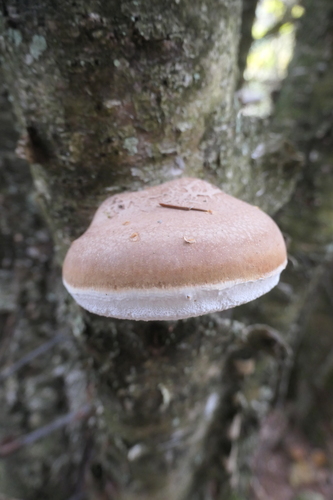
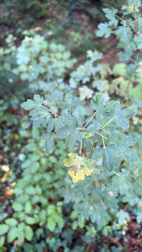
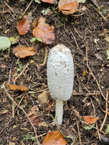
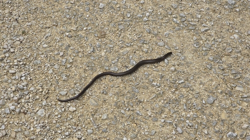
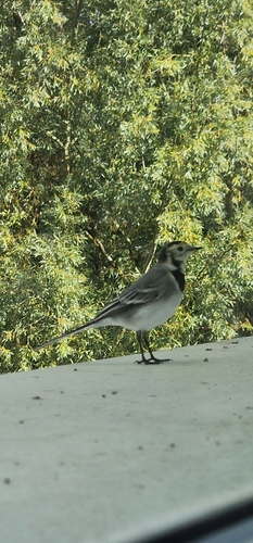
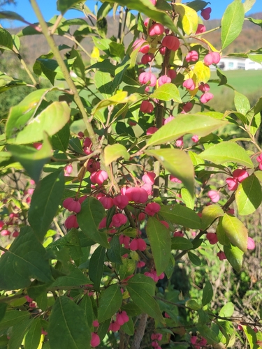
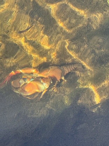
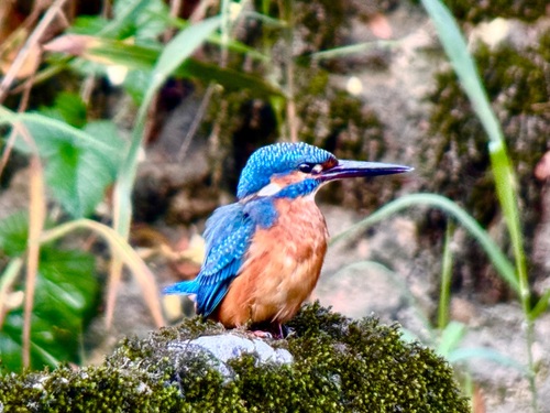
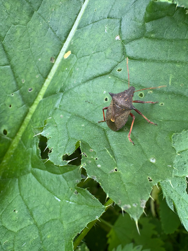
Research-grade observations from iNaturalist (within ~15 mi).
Events
Gallery
Official Identifiers
BFS — Swiss Federal Statistical Office
- BFS-Nr
- 6757
- Population (Wikidata)
- 2,531
- Wikidata
- Q67666
Gemeindenummer via Wikidata P771
Sources
- • Wikipedia
- • Wikidata
- • USGS Earthquake Catalog (global feed)
- • GBIF (Global Biodiversity Information Facility)
- • iNaturalist
- • Open-Meteo / sunrise-sunset.org
- • Wikipedia Pageviews API
- • Wikidata SPARQL (CC0) — population, area, elevation, inception, head of government, Commons image
- • BFS — Swiss Federal Statistical Office — Gemeindenummer via Wikidata P771