Browse / Switzerland / Bern / Saint-Imier
Saint-Imier
Bernvillage

Saint-Imier
Total population
5,088
Demographic figures from Swiss Federal Statistical Office. Overview below cites Wikipedia and may reference a different year.
City facts
Facts from Wikidata (CC0).
Overview
Saint-Imier is a municipality in the Jura bernois administrative district in the canton of Bern in Switzerland. It is located in the French-speaking Bernese Jura.
Read more on WikipediaHistory & geography
History
Saint-Imier is first mentioned in 884 as cella de sancti Himerii. The municipality was formerly known by its German name St. Immer, however, that name is no longer used. On 19 July 2023, thousands of anarchists began arriving in Saint-Imier to participate in an international anarchist gathering, in celebration of the 150th anniversary of the Saint-Imier Congress. The event included lectures, workshops, concerts, film screenings, theatre plays, exhibitions and a book fair. By the second day of the event, thousands of people had arrived in the town, causing logistical issues for the self-managed space. The event also caused some safety problems, as its campsite was located next to train tracks that campers often crossed over in order to get to the event location, despite attempts by the event organisers to stop them. In order to guarantee safety, the Swiss Federal Railways halted all rail traffic between Saint-Imier and La Chaux-de-Fonds over the weekend, organising replacement bus services in order to maintain the public transit network. The event would end up counting 5,000 attendees, mostly people in their early twenties, who were reportedly warmly welcomed by the town's population. Saint-Imier mayor Corentin Jeanneret reported that the event went largely smoothly, with the exception of a few cases of graffiti.
Geography
Saint-Imier has an area of . Of this area, 49% is used for agricultural purposes, while or 40% is forested. Of the rest, 9.3% of the total is buildings or roads, and 0.7%of the total is unproductive. Of the built up area, housing and buildings made up 5.8% and transportation infrastructure made up 2.2%. Out of the forested land, 34% of the total land area is heavily forested and 6% is covered with orchards or small clusters of trees. Of the agricultural land, 1.7% is used for growing crops and 20% is pastures and 27% is used for alpine pastures. The municipality is located in the Saint-Imier valley along the Suze river and on the Biel/Bienne-La Chaux-de-Fonds road.
Excerpted from the corresponding Wikipedia article (CC BY-SA).
Geography
Coordinates & boundaries from the US Census TIGER/Line shapefiles.
Climate
Air quality
Walkability
Amenities nearby
Wildlife & biodiversity
Earthquake history
Photos
Sights & places nearby
Notable people from here


People born within ~10 km, from Wikidata (CC0). Click any name for their Wikipedia article.
Nearby places in Bern
- Villeret1.1 mi away · pop. 923
- Renan BE3.8 mi away · pop. 896
- Les Reussilles6.5 mi away
- Lamboing6.9 mi away · pop. 696
- Ligerz8 mi away · pop. 527
- Sonceboz-Sombeval8.7 mi away · pop. 1,917
- Wingreis9 mi away
- Alfermée9.9 mi away
- Magglingen10.3 mi away · pop. 574
- Lüscherz10.3 mi away · pop. 492
- Tavannes10.6 mi away · pop. 3,522
- Le Fuet10.8 mi away · pop. 269
Geography & sun
Nearby airports
Public attention
Books about this place
Recent natural events nearby
Ground air-quality sensors
Recently spotted species
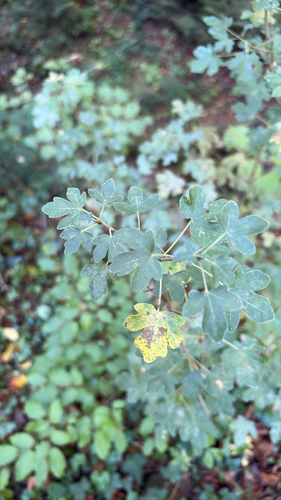
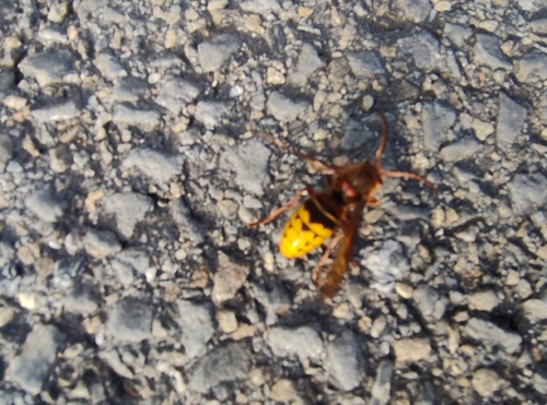
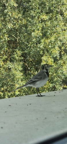
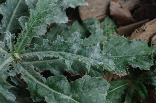
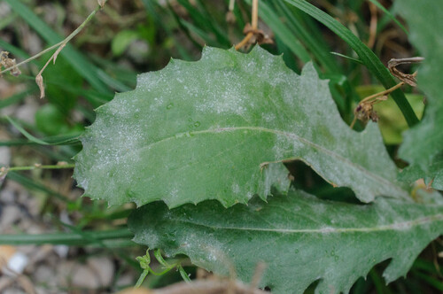
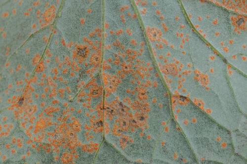
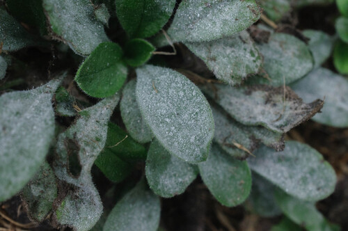
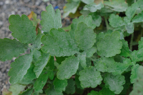
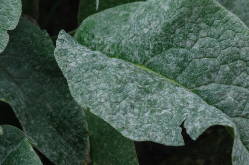
Research-grade observations from iNaturalist (within ~15 mi).
Events
Gallery
Official Identifiers
BFS — Swiss Federal Statistical Office
- BFS-Nr
- 443
- Population (Wikidata)
- 5,131
- Wikidata
- Q66390
Gemeindenummer via Wikidata P771
Sources
- • Wikipedia
- • Wikidata
- • iNaturalist
- • Wikidata SPARQL (CC0) — population, area, elevation, inception, head of government, Commons image
- • BFS — Swiss Federal Statistical Office — Gemeindenummer via Wikidata P771