Browse / Switzerland / Obwalden / Sarnen
Sarnen
Obwaldentown

Sarnen
Total population
10,192
Demographic figures from Swiss Federal Statistical Office. Overview below cites Wikipedia and may reference a different year.
City facts
Facts from Wikidata (CC0).
Overview
Sarnen is a small historic town, a municipality, and the capital of the canton of Obwalden situated on the northern shores of Lake Sarnen in Switzerland. It has a population of just over 10,000 and is surrounded by countryside and mountains. Sarnen is located 20 km south of Lucerne.
Read more on WikipediaHistory & geography
History
Stone Age and Bronze Age finds show that the Sarnen valley was inhabited from the earliest times. Over the years Sarnen developed into an important trading center.
Geography
Sarnen is situated at an altitude of on the northern shore of Lake Sarnen () along the outflow of the Sarner Aa. Lake Sarnen covers approximately an area of . The town is surrounded by mountain chains and a protected bog can be found nearby. The most well-known mountain close to Sarnen is Mount Pilatus with an elevation of . Sarnen has an area, (as of the 2004/09 survey) of . Of this area, about 39.0% is used for agricultural purposes, while 50.7% is forested. Of the rest of the land, 6.0% is settled (buildings or roads) and 4.3% is unproductive land. In the 2004/09 survey a total of or about 3.6% of the total area was covered with buildings, an increase of over the 1980/81 amount. Of the agricultural land, is used for orchards and vineyards, is fields and grasslands and consists of alpine grazing areas. Since 1980/81 the amount of agricultural land has decreased by . Over the same time period the amount of forested land has increased by . Rivers and lakes cover in the municipality. The municipality is made up of 5 sections; Sarnen (population 5,984), Stalden (pop. 1,072), Wilen (pop. 1,234), Kägiswil (pop. 1,214) and Ramersberg (pop. 294).
Excerpted from the corresponding Wikipedia article (CC BY-SA).
Geography
Coordinates & boundaries from the US Census TIGER/Line shapefiles.
Climate
Air quality
Walkability
Amenities nearby
Wildlife & biodiversity
Earthquake history
Photos
Sights & places nearby
Notable people from here


People born within ~10 km, from Wikidata (CC0). Click any name for their Wikipedia article.
Nearby places in Obwalden
- Wilen (Sarnen)1.4 mi away
- Kerns1.4 mi away · pop. 6,581
- Stalden (Sarnen)1.7 mi away
- Sachseln1.9 mi away · pop. 4,305
- Kägiswil2 mi away · pop. 1,253
- Halten2.2 mi away
- Ewil3.1 mi away
- Alpnach Dorf3.4 mi away
- Melchtal4.7 mi away
- Giswil4.8 mi away · pop. 3,435
- Grossteil5.2 mi away
- Melchsee-Frutt8.5 mi away · pop. 150
Geography & sun
Elevation, sunrise/sunset and daylight from Open-Meteo. Solar climatology from NASA POWER.
Nearby airports
Public attention
Pageview totals from the Wikimedia Pageviews API.
Books about Sarnen
Search results from Open Library.
Recent natural events nearby
Ground air-quality sensors
Recently spotted species
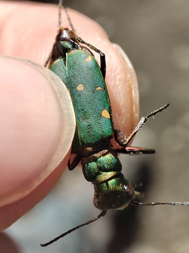
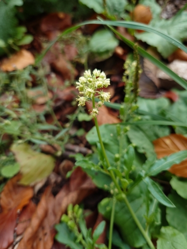
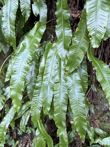
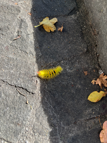
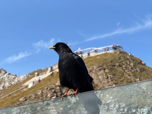
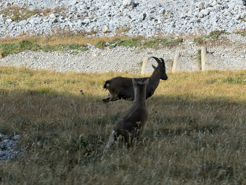
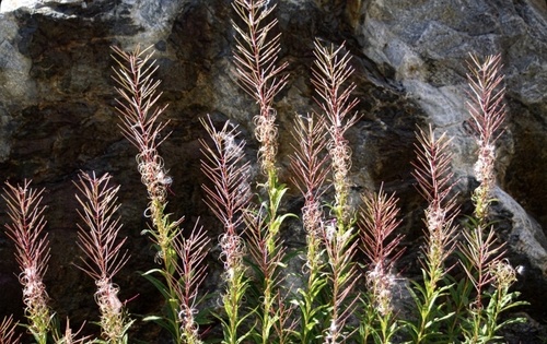
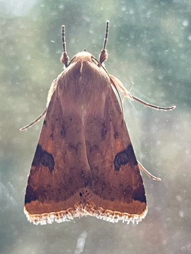
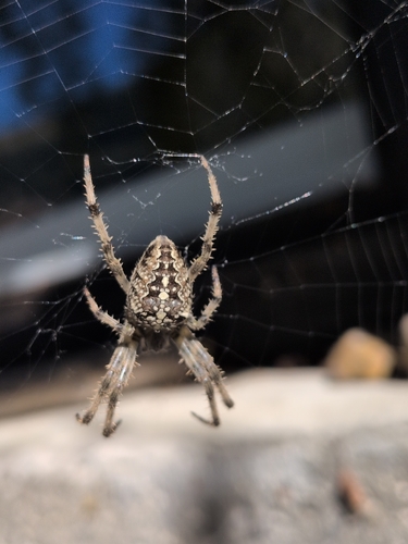
Research-grade observations from iNaturalist (within ~15 mi).
Events
Gallery
Official Identifiers
BFS — Swiss Federal Statistical Office
- BFS-Nr
- 1407
- Population (Wikidata)
- 10,862
- Wikidata
- Q63964
Gemeindenummer via Wikidata P771
Sources
- • Wikipedia
- • Wikidata
- • iNaturalist
- • Open-Elevation
- • Open-Meteo / sunrise-sunset.org
- • Wikipedia Pageviews API
- • Open Library
- • Wikidata SPARQL (CC0) — population, area, elevation, inception, head of government, Commons image
- • BFS — Swiss Federal Statistical Office — Gemeindenummer via Wikidata P771