Browse / Switzerland / Geneva / Satigny
Satigny
Genevavillage

Satigny
Total population
4,014
Air quality index
Demographic figures from Swiss Federal Statistical Office. Overview below cites Wikipedia and may reference a different year.
City facts
Facts from Wikidata (CC0).
Overview
Satigny is a municipality of the Canton of Geneva, Switzerland. It is the largest municipality of the canton by land area and the largest wine-producing municipality of the country. Its territory contains the majority of the Mandement area, a designated heritage site of national importance shared with the neighbouring municipalities of Russin and Dardagny.
Read more on WikipediaHistory & geography
History
In its origins, Satigny fell under the jurisdiction of Saint-Pierre-aux-Liens, a dependency of the abbot of Ainay in Lyon, which grew rapidly with lands granted to it mainly by the lords of Gex. When the territory of the municipality formed part of the Peney castellany, the town had a priory devoted to St Peter. A chart from 912, the oldest surviving authentic document of Geneva's history, notifies the donation by Eldegarde, probably a countess, of part of the assets inherited from her husband to the monastery of St Peter. However, she reserved for herself the usufruct of the lands located in Satigny, Choully, Peissy, Challex, Crest, Logras, and Feigères, and she asked the bishop of Geneva to ensure that her donation was well executed. In 1134 the bishop denounced the violation of the canonical rules and obtained by arbitrage from the archbishop of Vienna the priory of Satigny. The main town would develop around the convent and, in 1305, its inhabitants and those of the neighbouring hamlets created a community. The castle of Peney-Dessus, flanked by a fortified village, was the headquarters of the Peney castellany, also called land of Mortier. In 1282, a monk of Satigny, in love with Léonette de Joinville, slipped disguised as a woman into the apartment of the wife of the lord of Gex. When she discovered him, she made him undress and be beaten by her people. Simon de Joinville turned this into a pretext to claim the rights of the Peney castellany, its castle, Saint-Gervais, and the bridge over the Rhône river. The bishop responded by reminding to Simon that he had forgot to pay his tribute and he requested a compensation. In the face of the growing power of the bishop, the lord of Gex renounced to his claims and he submitted to the demands of the bishop. Built,…
Geography
According to the Swiss federal statistics office, Satigny measures 18,92 km2, which makes it the largest municipality of the canton of Geneva by geographical size. Due to its considerable geographical size, the municipality includes many subdivisions: the neighbourhoods of Satigny-Dessous, Satigny-Dessus, as well as the hamlets of Bourdigny, Peney (Dessous and Dessus), Choully, Montfleury, and Peissy. It also includes the large industrial areas of ZIMEYSA and Bois-de-Bay. It forms part of the Mandement (an old term for castellany, referring to the castellany of Peney), and it borders the Swiss municipalities of Meyrin and Vernier to the East; Bernex, and Aire-la-Ville, to its south, separated from Satigny by the Rhône river; Russin, and Dardagny to the west. France is located to the north-west of the municipality, separated from Satigny by the Allondon river and the stream of the Nant de l'Ecra. The municipality is bordered by the CERN to its north-east, which together with the ZIMEYSA industrial area at the east of the municipality marks the transition from countryside to the urban landscape formed by Meyrin and Vernier which surround the city of Geneva. The Jura mountains define the outline of the landscape in the background. The Salève, the Lake Geneva, as well as the French Alps are also visible in the distance to the east and south-east of the town. Satigny, like other towns in the periphery of Geneva, plays as role as a "green belt" and incarnates the bucolic image of vineyard-dominated countryside-landscape for the local urban inhabitants, mixing large wooded areas, hilly landscapes, and vineyards. Indeed, with 460 hectares of vineyards, Satigny concentrates one-third of the 1,410 hectares of vineyards in the canton of Geneva, which makes it not only…
Excerpted from the corresponding Wikipedia article (CC BY-SA).
Geography
Coordinates & boundaries from the US Census TIGER/Line shapefiles.
Climate
Air quality
Current readings from Open-Meteo Air Quality API (Copernicus CAMS European reanalysis).
Walkability
Amenities nearby
Wildlife & biodiversity
Most-observed species
- Eurasian CootFulica atra Linnaeus, 1758 · Aves6,290
- Yellow-legged hornetVespa velutina Lepeletier, 1836 · Insecta5,951
- Common Wood-PigeonColumba palumbus Linnaeus, 1758 · Aves5,252
- Carrion CrowCorvus corone Linnaeus, 1758 · Aves5,214
- MallardAnas platyrhynchos Linnaeus, 1758 · Aves5,194
- House SparrowPasser domesticus (Linnaeus, 1758) · Aves4,945
- red foxVulpes vulpes (Linnaeus, 1758) · Mammalia4,835
- European hareLepus europaeus Pallas, 1778 · Mammalia4,650
Citizen-science & research observations from the Global Biodiversity Information Facility (GBIF).
Earthquake history
Most recent
- M 3.6 — 2026-01-124 km SSW of Les Houches, France
- M 3.3 — 2025-05-068 km W of Chapareillan, France
- M 3.3 — 2022-09-257 km ESE of Ar?ches-la-Frasse, France
- M 4.5 — 2022-03-123 km S of Faverges, France
- M 3.4 — 2020-06-2311 km ESE of Samoëns, France
- M 3.2 — 2017-11-1710 km NNE of Saint-Rémy-de-Maurienne, France
Events from the USGS Earthquake Catalog (global) (FDSN Event Web Service).
Photos
Sights & places nearby
Notable people from here


People born within ~10 km, from Wikidata (CC0). Click any name for their Wikipedia article.
Nearby places in Geneva
Geography & sun
Elevation, sunrise/sunset and daylight from Open-Meteo. Solar climatology from NASA POWER.
Nearby airports
Public attention
Pageview totals from the Wikimedia Pageviews API.
Books about this place
Recent natural events nearby
Ground air-quality sensors
Recently spotted species
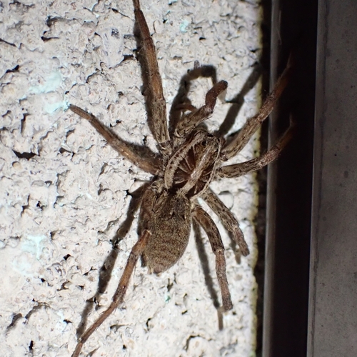
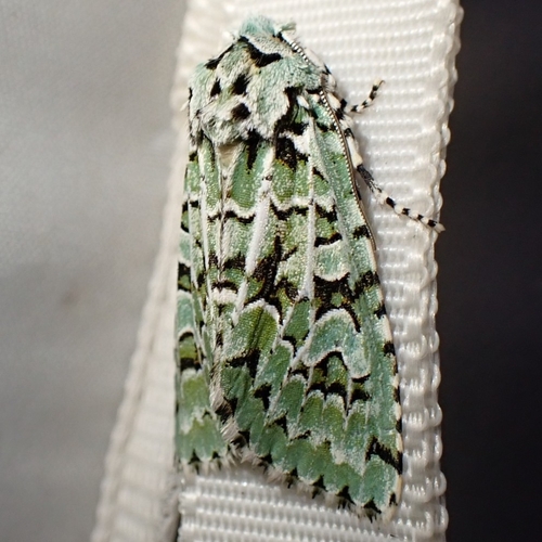
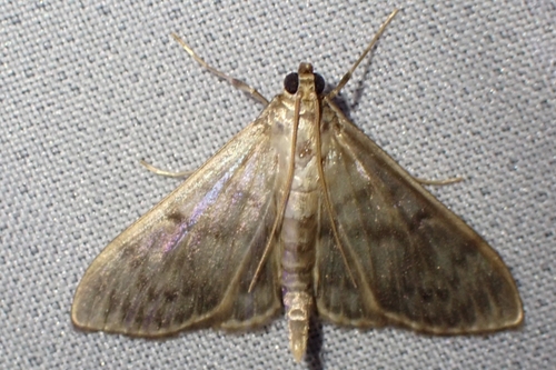
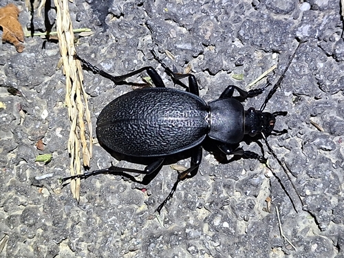
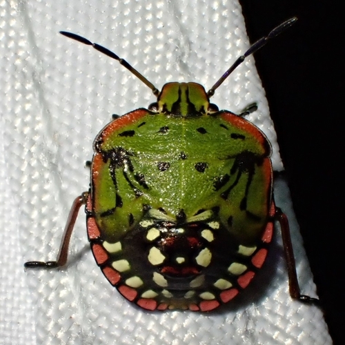
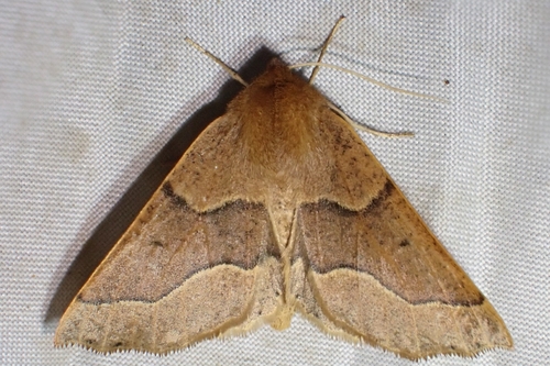
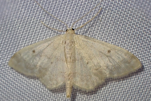
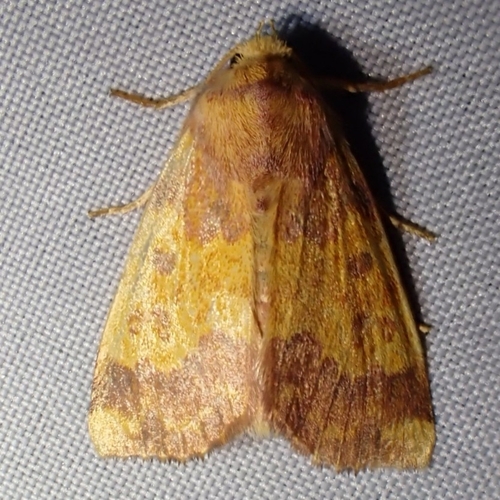
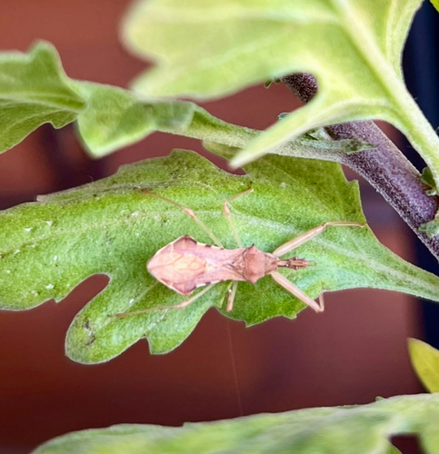
Research-grade observations from iNaturalist (within ~15 mi).
Events
Gallery
Official Identifiers
BFS — Swiss Federal Statistical Office
- BFS-Nr
- 6638
- Population (Wikidata)
- 4,109
- Wikidata
- Q69451
Gemeindenummer via Wikidata P771
Sources
- • Wikipedia
- • Wikidata
- • Open-Meteo Air Quality (CAMS)
- • USGS Earthquake Catalog (global feed)
- • GBIF (Global Biodiversity Information Facility)
- • iNaturalist
- • Open-Meteo / sunrise-sunset.org
- • Wikipedia Pageviews API
- • Wikidata SPARQL (CC0) — population, area, elevation, inception, head of government, Commons image
- • BFS — Swiss Federal Statistical Office — Gemeindenummer via Wikidata P771