Browse / Switzerland / Vaud / Saubraz
Saubraz
Vaudvillage
Total population
449
Demographic figures from Swiss Federal Statistical Office. Overview below cites Wikipedia and may reference a different year.
City facts
Overview
Saubraz is a municipality in Switzerland. It is located in the district of Morges, in the canton of Vaud.
Read more on WikipediaHistory & geography
History
Saubraz is first mentioned in the 13th century as de Salubra. In 1251, it was mentioned as Saubra. The town formed around a church, which belonged to the Premonstratensian Abbey of Lac-de-Joux (L’Abbaye) and burned down in 1251. After Bern conquered Vaud in 1536, Saubraz shared in the fate of Aubonne, and in 1701 it became a part of the Aubonne administrative district. After the breakup of the Ancien régime, the town was a part of the canton Léman from 1798 to 1803 during the Helvetic Republic. It subsequently was absorbed by the canton of Vaud and in 1798 assigned to the district of Aubonne. The chapel, which had been built on the ruins of the medieval church, was cleared away during the building of a schoolhouse in 1899. Today, Saubraz is part of the Gimel parish.
Geography
Saubraz has an area, , of . Of this area, or 46.2% is used for agricultural purposes, while or 45.7% is forested. Of the rest of the land, or 7.0% is settled (buildings or roads), or 0.3% is either rivers or lakes and or 0.8% is unproductive land. Of the built-up area, housing and buildings made up 1.6%, and transportation infrastructure made up 2.2%. Power and water infrastructure as well as other specially developed areas made up 2.7% of the area. Out of the forested land, 43.8% of the total land area is heavily forested and 1.9% is covered with orchards or small clusters of trees. Of the agricultural land, 32.4% is used for growing crops and 13.0% is for pastures. All the water in the municipality is flowing water. The municipality is located at the foot of the Jura Mountains near the Col du Marchairuz road. Saubraz is located at an elevation of above mean sea level (AMSL), 13 km west of the city of Morges. It is a farming village sprawled across a plateau in the Jura Mountains between the valleys of Saubrett in the south and Toleure in the north. The creek Saubrett and its tributary Toluere drain the eastern part of the area into the Aubonne river. Toleure forms the northern boundary of the municipality. The plateau of Saubraz is located between the two creeks; it gradually rises to the Jura Mountains in the northwest. The highest point in Saubraz is located at AMSL at the foot of Mont Chaubert. In the south, the municipality's woodland area Bois des Ursins rises to the Ursins Plateau. The municipalities of Gimel, Montherod and Bière border Saubraz.
Excerpted from the corresponding Wikipedia article (CC BY-SA).
Geography
Coordinates & boundaries from the US Census TIGER/Line shapefiles.
Climate
Air quality
Walkability
Amenities nearby
Wildlife & biodiversity
Earthquake history
Photos
Sights & places nearby
Notable people from here
Nearby places in Vaud
- Gimel1.2 mi away · pop. 1,921
- Bière1.6 mi away · pop. 1,713
- Saint-Oyens1.6 mi away · pop. 326
- Essertines-sur-Rolle1.6 mi away · pop. 496
- Pizy1.9 mi away · pop. 65
- Montherod2 mi away · pop. 439
- St-Livres2.7 mi away · pop. 538
- Bougy-Villars2.7 mi away · pop. 446
- Berolle3 mi away · pop. 299
- Mont-sur-Rolle3 mi away · pop. 1,796
- Aubonne3.2 mi away · pop. 2,570
- Saint-George3.3 mi away · pop. 618
Geography & sun
Elevation, sunrise/sunset and daylight from Open-Meteo. Solar climatology from NASA POWER.
Nearby airports
Public attention
Pageview totals from the Wikimedia Pageviews API.
Books about this place
Recent natural events nearby
Ground air-quality sensors
Recently spotted species
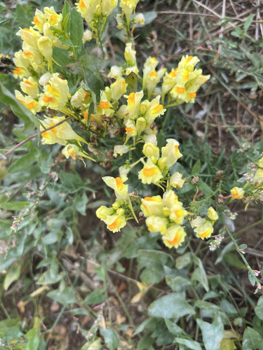
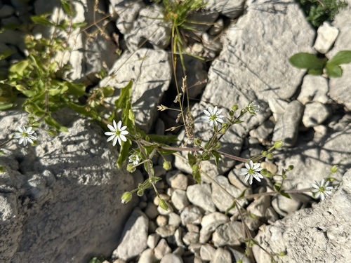
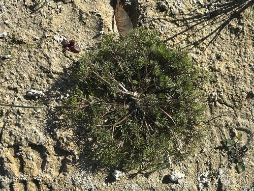
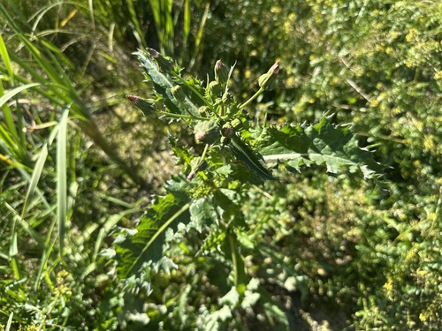
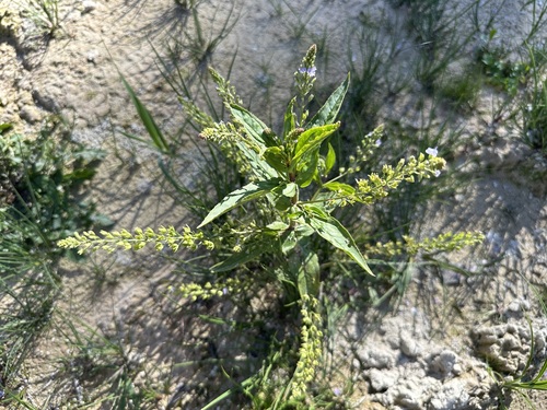
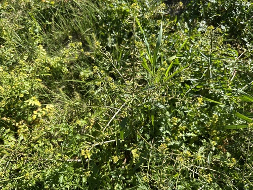
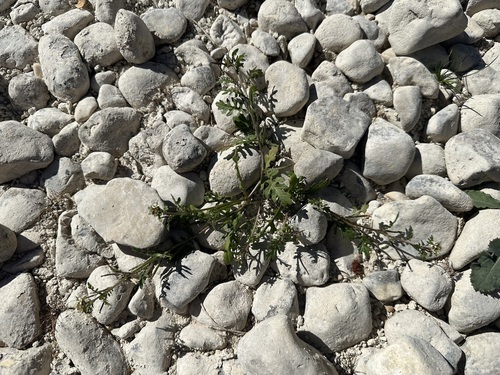
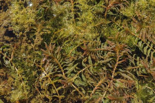
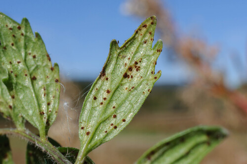
Research-grade observations from iNaturalist (within ~15 mi).
Events
Gallery
Official Identifiers
BFS — Swiss Federal Statistical Office
- BFS-Nr
- 5437
- Population (Wikidata)
- 418
- Wikidata
- Q68760
Gemeindenummer via Wikidata P771
Sources
- • Wikipedia
- • iNaturalist
- • Open-Meteo / sunrise-sunset.org
- • Wikipedia Pageviews API
- • BFS — Swiss Federal Statistical Office — Gemeindenummer via Wikidata P771