Browse / Switzerland / Aargau / Schafisheim
Schafisheim
Aargauvillage

Schafisheim
Total population
2,998
Demographic figures from Swiss Federal Statistical Office. Overview below cites Wikipedia and may reference a different year.
City facts
Facts from Wikidata (CC0).
Overview
Schafisheim is a municipality in the district of Lenzburg in the canton of Aargau in Switzerland.
Read more on WikipediaHistory & geography
History
Evidence of earlier settlements near Schafisheim include urn graves of the Hallstatt period and a Roman era farm. The modern village of Schafisheim is first mentioned around 1261–64 as Scafusa. The high court right was held by the Habsburgs, and then from 1415 by Bern. A farm owned by Murbach Abbey had the Twinggericht (low justice and property rights) over the village, which was held until 1482. The Twinggericht right went to the Lords of Baldegg, then, in 1671, to a branch of the Hallwyl family. In the 15th century the head Twingherren was probably living at Schafisheim Castle. After passing through several other hands, the Twingherren power came in 1736 to the brothers Samuel and Etienne Brutel. Schafisheim chapel of ease is first mentioned in 1360. At that time it belonged to the Staufen parish. In 1496–98, the chapel of St. Leodegar was built on the site of the earlier chapel. The farming settlement of Bettetal was incorporated in 1751 in the municipality. Economically, Schafisheim was dominated by agriculture and a little viticulture together with light, home manufacturing in the 19th century. The brothers Brutel built a thriving printing business in 1736, which closed before 1800. In the 19th and 20th centuries, many residents worked in foreign factories. The opening of the A1 motorway in 1967 led to the establishment of logistics centers and furniture stores, and in 1973 the cantonal road traffic office. Along the road between Aarau and Lenzburg the village expanded with new residential and commercial areas.
Geography
Schafisheim has an area, , of . Of this area, or 38.1% is used for agricultural purposes, while or 41.1% is forested. Of the rest of the land, or 20.9% is settled (buildings or roads), or 0.5% is either rivers or lakes. Of the built up area, industrial buildings made up 3.2% of the total area while housing and buildings made up 9.5% and transportation infrastructure made up 5.1%. Power and water infrastructure as well as other special developed areas made up 2.8% of the area Out of the forested land, all of the forested land area is covered with heavy forests. Of the agricultural land, 24.5% is used for growing crops and 11.4% is pastures, while 2.2% is used for orchards or vine crops. All the water in the municipality is in rivers and streams. The municipality is located in the Lenzburg district, at the lower exit of the Seetal. It consists of the village of Schafisheim and the hamlets of Bettetal and Heuelmüli.
Excerpted from the corresponding Wikipedia article (CC BY-SA).
Geography
Coordinates & boundaries from the US Census TIGER/Line shapefiles.
Climate
Air quality
Walkability
Amenities nearby
Wildlife & biodiversity
Most-observed species
- Meadow BrownManiola jurtina (Linnaeus, 1758) · Insecta16,216
- Annual FleabaneErigeron annuus (L.) Pers. · Magnoliopsida9,903
- Common BluePolyommatus icarus (von Rottemburg, 1775) · Insecta9,884
- European roe deerCapreolus capreolus (Linnaeus, 1758) · Mammalia9,618
- Marbled WhiteMelanargia galathea Linnaeus, 1758 · Insecta7,163
- Small HeathCoenonympha pamphilus (Linnaeus, 1758) · Insecta5,665
- red foxVulpes vulpes (Linnaeus, 1758) · Mammalia4,622
- Silver-washed FritillaryArgynnis paphia (Linnaeus, 1758) · Insecta4,245
Citizen-science & research observations from the Global Biodiversity Information Facility (GBIF).
Earthquake history
Most recent
- M 3.7 — 2026-04-264 km N of Quarten, Switzerland
- M 4.1 — 2025-07-214 km E of Frutigen, Switzerland
- M 3.5 — 2024-06-271 km SSW of Todtmoos, Germany
- M 4.2 — 2024-06-042 km NNW of Unteriberg, Switzerland
- M 3.9 — 2022-09-101 km WSW of Zimmersheim, France
- M 4.1 — 2021-12-242 km WSW of Blamont, France
Events from the USGS Earthquake Catalog (global) (FDSN Event Web Service).
Photos
Sights & places nearby
Notable people from here


People born within ~10 km, from Wikidata (CC0). Click any name for their Wikipedia article.
Nearby places in Aargau
- Lenzburg1.9 mi away · pop. 10,179
- Niederlenz2.2 mi away · pop. 4,754
- Gränichen2.5 mi away · pop. 7,706
- Wildegg2.7 mi away
- Auenstein2.7 mi away · pop. 1,574
- Egliswil2.8 mi away · pop. 1,408
- Suhr3 mi away · pop. 10,130
- Ammerswil3 mi away · pop. 673
- Möriken AG3.2 mi away
- Hendschiken3.5 mi away · pop. 1,220
- Teufenthal3.6 mi away · pop. 1,598
- Othmarsingen3.8 mi away · pop. 2,782
Geography & sun
Elevation, sunrise/sunset and daylight from Open-Meteo. Solar climatology from NASA POWER.
Nearby airports
Public attention
Pageview totals from the Wikimedia Pageviews API.
Books about Schafisheim
Search results from Open Library.
Recent natural events nearby
Ground air-quality sensors
Recently spotted species
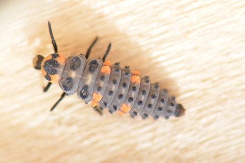
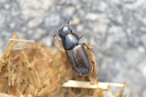
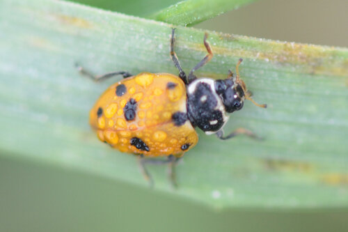
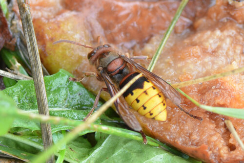
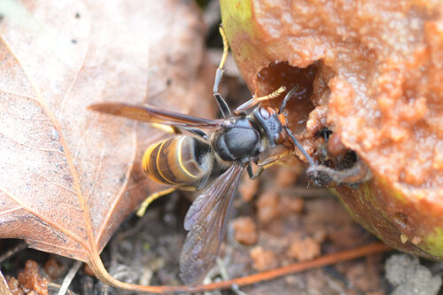
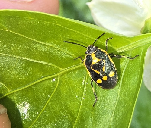

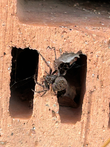
Research-grade observations from iNaturalist (within ~15 mi).
Events
Gallery
Official Identifiers
BFS — Swiss Federal Statistical Office
- BFS-Nr
- 4207
- Population (Wikidata)
- 2,997
- Wikidata
- Q65993
Gemeindenummer via Wikidata P771
Sources
- • Wikipedia
- • Wikidata
- • USGS Earthquake Catalog (global feed)
- • GBIF (Global Biodiversity Information Facility)
- • iNaturalist
- • Open-Meteo / sunrise-sunset.org
- • Wikipedia Pageviews API
- • Open Library
- • Wikidata SPARQL (CC0) — population, area, elevation, inception, head of government, Commons image
- • BFS — Swiss Federal Statistical Office — Gemeindenummer via Wikidata P771