Browse / Switzerland / Bern / Schwarzhäusern
Schwarzhäusern
Bernvillage

Schwarzhäusern
Total population
501
Demographic figures from Swiss Federal Statistical Office. Overview below cites Wikipedia and may reference a different year.
City facts
Facts from Wikidata (CC0).
Overview
Schwarzhäusern is a municipality in the Oberaargau administrative district in the canton of Bern in Switzerland.
Read more on WikipediaHistory & geography
History
Originally it was known as Rufshausen and that name was first recorded in 1100 as Rudolfshausen. It was first mentioned in 1677 as Schwartzenheüßeren, a name that would become Schwarzhäusern. Several Mesolithic or Neolithic flint tools have been found in sites around the municipality. There are several early medieval graves at Klebenrain. By the 13th century, a bridge was built over the Aare river, which connected the village to regional center of power in Aarwangen. In 1432, Aarwangen came under Bernese power and brought neighboring Schwarzhäusern with it. For a few decades, Bern and Solothurn shared authority over the parish of Niederbipp, which included Schwarzhäusern. However, in 1463, it came completely under Bern's control. Following the 1798 French invasion, under the Helvetic Republic it became part of the District of Wangen. Schwarzhäusern remained in the Wangen district until 1871, when it joined the Aarwangen district. During the 17th and 18th centuries cottage industry weaving began to supplement agriculture in the local economy. During the 19th century, as agriculture became increasingly mechanized and required fewer workers, many residents were forced to emigrate to find work. At the beginning of the 21st century, agriculture and small businesses provide only 17% of the jobs in the municipality and about three-quarters of the workers commute to nearby towns for work. It shares an upper secondary school with Bannwil and Aarwangen and a Gymnasium with Langenthal.
Geography
Schwarzhäusern has an area of . Of this area, or 52.0% is used for agricultural purposes, while or 33.8% is forested. Of the rest of the land, or 10.3% is settled (buildings or roads), or 2.9% is either rivers or lakes. Of the built up area, housing and buildings made up 5.8% and transportation infrastructure made up 3.4%. Power and water infrastructure as well as other special developed areas made up 1.1% of the area Out of the forested land, 31.7% of the total land area is heavily forested and 2.1% is covered with orchards or small clusters of trees. Of the agricultural land, 40.9% is used for growing crops and 10.6% is pastures. All the water in the municipality is flowing water.
Excerpted from the corresponding Wikipedia article (CC BY-SA).
Geography
Coordinates & boundaries from the US Census TIGER/Line shapefiles.
Climate
Air quality
Walkability
Amenities nearby
Wildlife & biodiversity
Earthquake history
Photos
Sights & places nearby
Notable people from here
Nearby places in Bern
- Wynau2.2 mi away · pop. 1,559
- Graben3.1 mi away · pop. 333
- Thunstetten3.5 mi away · pop. 3,066
- Walliswil bei Niederbipp3.7 mi away · pop. 239
- Walliswil bei Wangen4.1 mi away · pop. 611
- Heimenhausen4.4 mi away · pop. 1,021
- Obersteckholz4.4 mi away · pop. 412
- Untersteckholz4.8 mi away · pop. 166
- Wanzwil5 mi away · pop. 241
- Gutenburg5 mi away · pop. 115
- Wolfisberg5.2 mi away · pop. 179
- Herzogenbuchsee5.3 mi away · pop. 7,438
Geography & sun
Elevation, sunrise/sunset and daylight from Open-Meteo. Solar climatology from NASA POWER.
Nearby airports
Public attention
Pageview totals from the Wikimedia Pageviews API.
Books about this place
Recent natural events nearby
Ground air-quality sensors
Recently spotted species
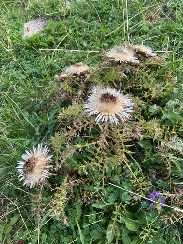
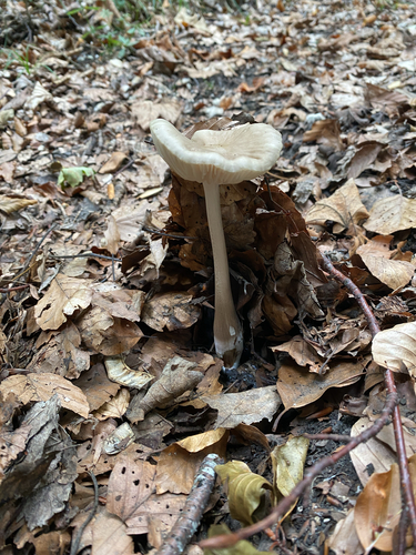
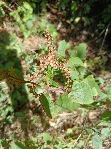
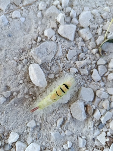
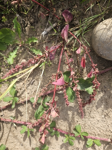
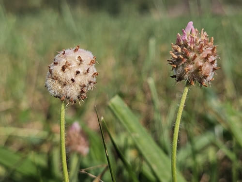
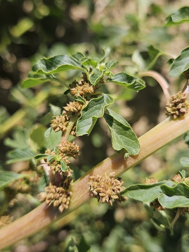
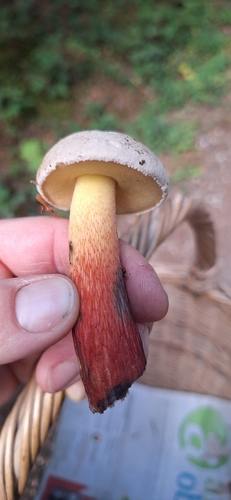
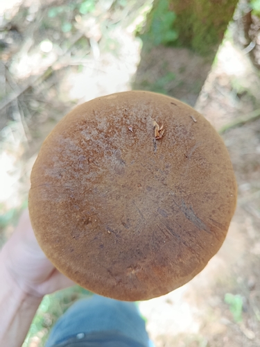
Research-grade observations from iNaturalist (within ~15 mi).
Events
Gallery
Official Identifiers
BFS — Swiss Federal Statistical Office
- BFS-Nr
- 341
- Population (Wikidata)
- 522
- Wikidata
- Q67623
Gemeindenummer via Wikidata P771
Sources
- • Wikipedia
- • Wikidata
- • iNaturalist
- • Open-Meteo / sunrise-sunset.org
- • Wikipedia Pageviews API
- • BFS — Swiss Federal Statistical Office — Gemeindenummer via Wikidata P771