Browse / Switzerland / Aargau / Seengen
Seengen
Aargauvillage

Seengen
Total population
3,955
Demographic figures from Swiss Federal Statistical Office. Overview below cites Wikipedia and may reference a different year.
City facts
Overview
Seengen is a municipality in the district of Lenzburg in the canton of Aargau in Switzerland. It belongs to the district of Lenzburg and is located in the Seetal valley at the northern end of Lake Hallwil.
Read more on WikipediaHistory & geography
History
In the Neolithic period, around 5,000 years ago, people lived on the shores of Lake Hallwil. Evidence of this was found at the Seengen–Riesi lakeside settlement excavation in September 1923, and at the Meisterschwanden–Erlenhölzli and Beinwil am See–Ägelmoos sites. In the Seengen-Riesi moorland reserve, there was a lakeside settlement in the Late Bronze Age, from around the 11th to the 9th century BC. The structures are known as pile dwellings and have been a UNESCO World Heritage Site since 2011 as part of the Prehistoric Pile Dwellings around the Alps. During the Roman Empire, there were three estates in the municipality of Seengen. One was located near the present-day church and was inhabited in the 1st and 2nd centuries, as evidenced by finds of terra sigillata, brick stamps and mosaic fragments. The other two estates (from the 2nd and 3rd centuries) were located right next to each other. During emergency excavations in Seengen in 2021, the Aargau Cantonal Archaeology Department discovered a Roman road and the oldest settlement site in the canton.
Geography
The center of this village is located about one kilometer from the lake shore on the eastern edge of the Seetal valley at an altitude of 471 meters above sea level. To the west, part of the plain along the Aabach stream belongs to the municipal area. The municipal boundary partly follows the stream ditch and runs to the left of the stream at the Hallwyl Castle, up the rising terrain to the village of Boniswil. The hilly landscape to the right of the Aabach in the northwest of the municipal area is partly covered by forest and features wetlands. This wooded area is a cantonal natural forest reserve, and covers an area of 56 hectares known as the Schlattwald oak forest reserve. The flat landscape around the Aabach stream was formed over thousands of years by the silting up of the old lake shore and is now a nature reserve. The reed beds and riparian forests are a protected area of national importance. They are part of the Boniswiler-Seenger Ried nature reserve, which is designated as a flat moorland and an amphibian spawning area of national importance. The area is also part of the Emerald network and the Hallwilersee landscape conservation area, which is included in the Federal Inventory of Landscapes and Natural Monuments. In the southeast, the steep slope of the meadow, south of Brestenberg Castle, drops directly down to the lake shore. The slope is covered with vineyards, some of which have been abandoned for the construction of vacation homes. To the east and north of the municipality rise the hills of the 712-meter-high Eichberg, which is part of the Rietenberg chain and forms the natural border with the valley of Bünz stream to the east. The upper section of the hills is wooded. Just below the highest point lies a large boulder, called the Titistein, a…
Excerpted from the corresponding Wikipedia article (CC BY-SA).
Geography
Coordinates & boundaries from the US Census TIGER/Line shapefiles.
Climate
Air quality
Walkability
Amenities nearby
Wildlife & biodiversity
Earthquake history
Photos
Sights & places nearby
Notable people from here


People born within ~10 km, from Wikidata (CC0). Click any name for their Wikipedia article.
Nearby places in Aargau
- Leutwil2 mi away · pop. 755
- Egliswil2 mi away · pop. 1,408
- Meisterschwanden2.3 mi away · pop. 2,940
- Dürrenäsch2.4 mi away · pop. 1,373
- Birrwil2.5 mi away · pop. 960
- Fahrwangen2.6 mi away · pop. 1,653
- Dintikon2.8 mi away · pop. 1,307
- Ammerswil3.1 mi away · pop. 673
- Bettwil3.6 mi away · pop. 576
- Anglikon3.7 mi away
- Wohlen AG3.7 mi away · pop. 17,481
- Leimbach AG4.1 mi away · pop. 533
Geography & sun
Elevation, sunrise/sunset and daylight from Open-Meteo. Solar climatology from NASA POWER.
Nearby airports
Public attention
Pageview totals from the Wikimedia Pageviews API.
Books about Seengen
Search results from Open Library.
Recent natural events nearby
Ground air-quality sensors
Recently spotted species
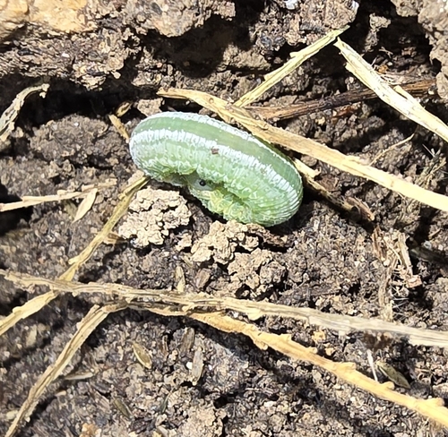
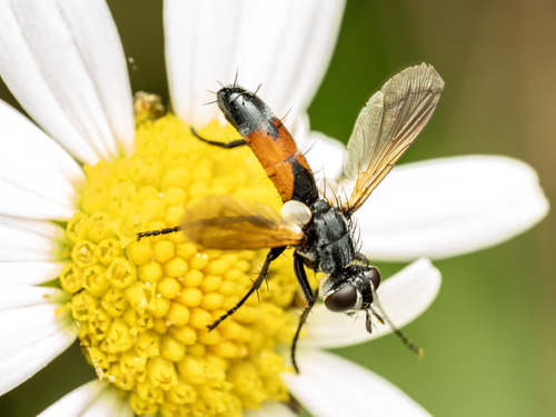
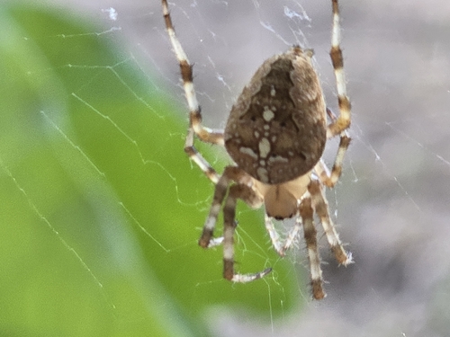
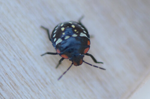
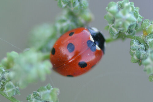
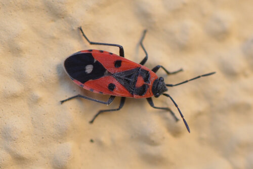
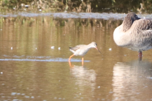
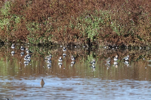
Research-grade observations from iNaturalist (within ~15 mi).
Events
Gallery
Official Identifiers
BFS — Swiss Federal Statistical Office
- BFS-Nr
- 4208
- Population (Wikidata)
- 3,994
- Wikidata
- Q65004
Gemeindenummer via Wikidata P771
Sources
- • Wikipedia
- • Wikidata
- • iNaturalist
- • Open-Meteo / sunrise-sunset.org
- • Wikipedia Pageviews API
- • Open Library
- • Wikidata SPARQL (CC0) — population, area, elevation, inception, head of government, Commons image
- • BFS — Swiss Federal Statistical Office — Gemeindenummer via Wikidata P771