Browse / Switzerland / Bern / Seftigen
Seftigen
Bernvillage
Total population
2,191
Demographic figures from Swiss Federal Statistical Office. Overview below cites Wikipedia and may reference a different year.
City facts
Facts from Wikidata (CC0).
Overview
Seftigen is a municipality in the administrative district of Thun in the canton of Bern in Switzerland.
Read more on WikipediaHistory & geography
History
Seftigen is first mentioned in 1277 as Seftingen. The oldest trace of a settlement in the area is a Roman estate house discovered in Räbzälg. The house's hypocaust and well are still visible. Following the Collapse of the Western Roman Empire, the area remained inhabited, evidenced by an early medieval cemetery at Leimeried. By the Late Middle Ages Seftigen was part of the Herrschaft of Burgistein. Around 1388 it became the capital of the Seftigen district. In the 15th century Louis von Seftigen turned the village into the center of a semi-independent court. However, the right to hold court in Seftigen was divided in half between his descendants. Eventually, Jakob von Wattenwyl reunited the two halves of the court in 1523 and incorporated it into the Burgistein Herrschaft again. From then until the 1798 French invasion the Lords of Burgistein and the von Buren family alternated presiding over the court. Originally it was part of the Kirchdorf parish, but in 1664 it joined the much nearer Gurzelen parish. In 1901-02 the Gürbetal railway opened up stations in Burgistein and Seftigen and began to transform the rural farming village. In the 1960s it became more of a bedroom community and the new developments of Zälg, Berg and Allmend opened up to house the growing population. Today agriculture still provides slightly less than one-quarter of the jobs in the municipality with small businesses making up the rest. However, over three-quarters of the workforce commute to jobs in nearby cities and towns.
Geography
Seftigen has an area of . As of 2012, a total of or 66.6% is used for agricultural purposes, while or 17.0% is forested. The rest of the municipality is or 15.9% is settled (buildings or roads), or 0.8% is either rivers or lakes. During the same year, industrial buildings made up 2.1% of the total area while housing and buildings made up 9.0% and transportation infrastructure made up 3.9%. All of the forested land area is covered with heavy forests. Of the agricultural land, 41.1% is used for growing crops and 22.9% is pasturage, while 2.6% is used for orchards or vine crops. All the water in the municipality is flowing water.
Excerpted from the corresponding Wikipedia article (CC BY-SA).
Geography
Coordinates & boundaries from the US Census TIGER/Line shapefiles.
Climate
Air quality
Walkability
Amenities nearby
Wildlife & biodiversity
Earthquake history
Photos
Sights & places nearby
Notable people from here
Geography & sun
Elevation, sunrise/sunset and daylight from Open-Meteo. Solar climatology from NASA POWER.
Nearby airports
Public attention
Pageview totals from the Wikimedia Pageviews API.
Books about Seftigen
Search results from Open Library.
Recent natural events nearby
Ground air-quality sensors
Recently spotted species
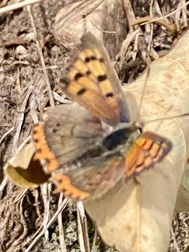
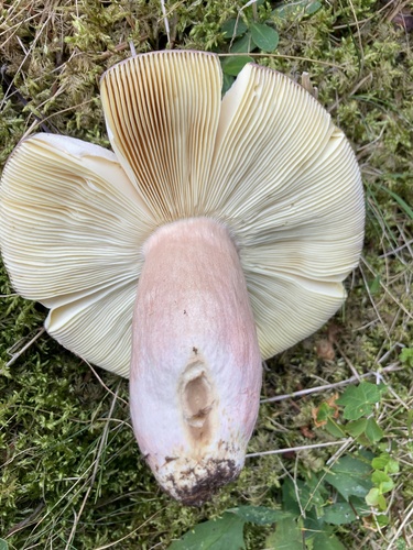
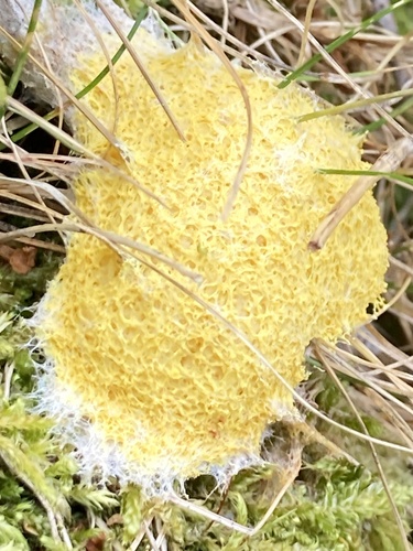
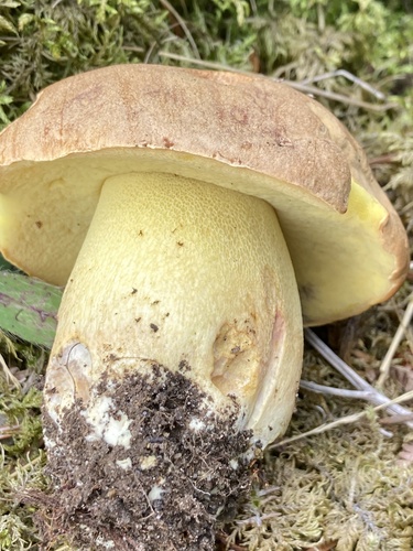
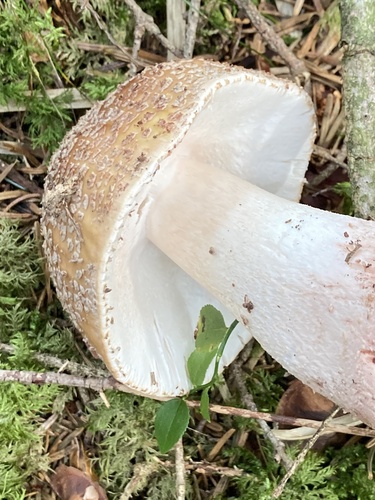
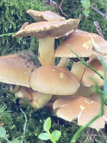
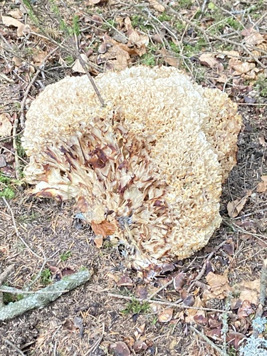
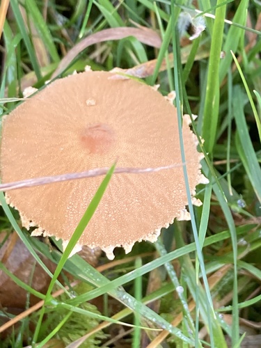
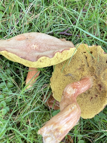
Research-grade observations from iNaturalist (within ~15 mi).
Events
Gallery
Official Identifiers
BFS — Swiss Federal Statistical Office
- BFS-Nr
- 883
- Population (Wikidata)
- 2,143
- Wikidata
- Q69240
Gemeindenummer via Wikidata P771
Sources
- • Wikipedia
- • Wikidata
- • iNaturalist
- • Open-Elevation
- • Open-Meteo / sunrise-sunset.org
- • Wikipedia Pageviews API
- • Open Library
- • Wikidata SPARQL (CC0) — population, area, elevation, inception, head of government, Commons image
- • BFS — Swiss Federal Statistical Office — Gemeindenummer via Wikidata P771