Browse / Switzerland / Uri / Spiringen
Spiringen
Urivillage

Spiringen
Total population
881
Demographic figures from Swiss Federal Statistical Office. Overview below cites Wikipedia and may reference a different year.
City facts
Facts from Wikidata (CC0).
Overview
Spiringen is a village and a municipality in the canton of Uri in Switzerland. The municipality comprises two disjoint areas, separated by the municipality of Unterschächen and the Klausen Pass. The western area includes the village of Spiringen in the Schächen Valley, whilst the eastern area includes the Urner Boden alp above Linthal and the canton of Glarus.
Read more on WikipediaHistory & geography
Geography
Spiringen has an area, , of . This area is split into two parts, with the slightly smaller part around the village of Spiringen in the valley of the Schächen, which drains westward towards the Reuss and Lake Lucerne. This part is surrounded by the municipalities of Bürglen and Schattdorf to the north and west, and the municipality of Unterschächen to the east and south. Some away, on the eastern side of Unterschächen and the Klausen Pass, is the second and larger part of the municipality. This comprises the Urner Boden meadows, and drains eastward into the Linth and Lake Zürich. Besides Unterschächen to its west, this part is surrounded on its north by the municipality of Muotathal in the canton of Schwyz, and on its south and east by the municipality of Glarus Süd in the canton of Glarus.
Excerpted from the corresponding Wikipedia article (CC BY-SA).
Geography
Coordinates & boundaries from the US Census TIGER/Line shapefiles.
Climate
Air quality
Walkability
Amenities nearby
Wildlife & biodiversity
Earthquake history
Photos
Sights & places nearby
Notable people from here


People born within ~10 km, from Wikidata (CC0). Click any name for their Wikipedia article.
Nearby places in Uri
- Unterschächen2.1 mi away · pop. 704
- Bürglen UR3 mi away · pop. 3,980
- Schattdorf3.7 mi away · pop. 5,058
- Altdorf UR4.1 mi away · pop. 10,459
- Attinghausen4.7 mi away · pop. 1,606
- Erstfeld5.1 mi away · pop. 3,786
- Flüelen5.3 mi away · pop. 1,959
- Seedorf UR5.5 mi away · pop. 1,816
- Silenen6.2 mi away · pop. 2,164
- Isleten7 mi away
- Sisikon7.3 mi away · pop. 397
- Amsteg7.5 mi away
Geography & sun
Elevation, sunrise/sunset and daylight from Open-Meteo. Solar climatology from NASA POWER.
Nearby airports
Public attention
Pageview totals from the Wikimedia Pageviews API.
Books about this place
Recent natural events nearby
Ground air-quality sensors
Recently spotted species
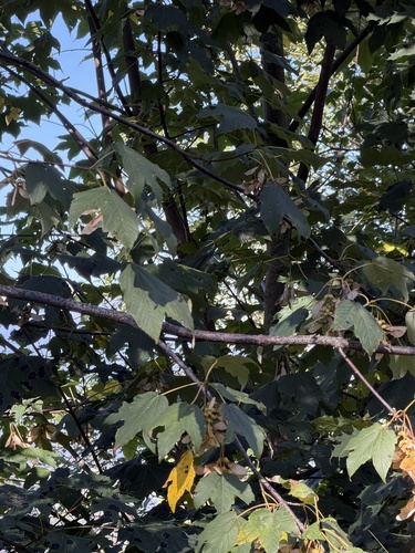
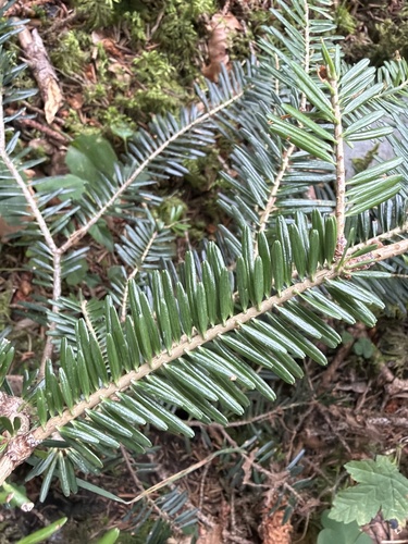
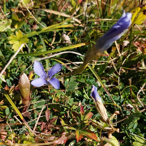
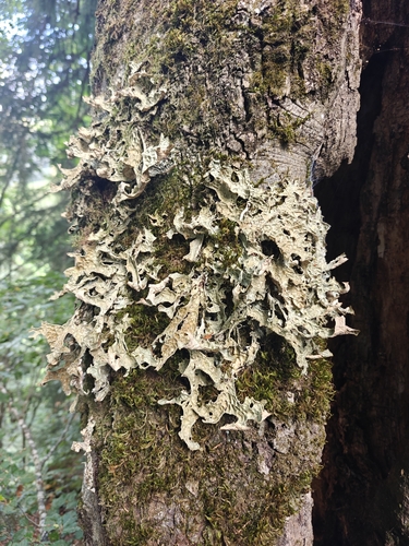
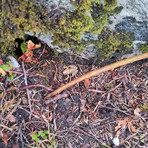
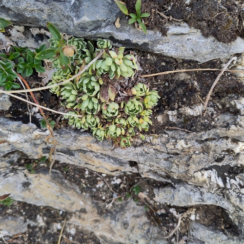
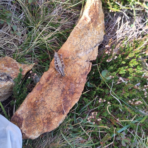
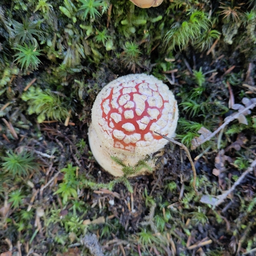
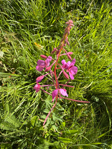
Research-grade observations from iNaturalist (within ~15 mi).
Events
Gallery
Official Identifiers
BFS — Swiss Federal Statistical Office
- BFS-Nr
- 1218
- Population (Wikidata)
- 849
- Wikidata
- Q69663
Gemeindenummer via Wikidata P771
Sources
- • Wikipedia
- • Wikidata
- • iNaturalist
- • Open-Meteo / sunrise-sunset.org
- • Wikipedia Pageviews API
- • BFS — Swiss Federal Statistical Office — Gemeindenummer via Wikidata P771