Browse / Switzerland / St. Gallen / St. Gallen
St. Gallen
St. Gallencity

St. Gallen
Total population
78,213
Demographic figures from Swiss Federal Statistical Office. Overview below cites Wikipedia and may reference a different year.
City facts
Sister cities
Facts from Wikidata (CC0).
Overview
St. Gallen is a Swiss city and the capital of the canton of St. Gallen. It evolved from the hermitage of Saint Gall, founded in the 7th century. Today, it is a small urban agglomeration and represents the center of eastern Switzerland. Its economy consists mainly of the service sector. The city is home to the University of St. Gallen, one of the top 10 business schools in Europe.
Read more on WikipediaHistory & geography
History
The town of St. Gallen grew around the Abbey of St Gall, built in the 8th century. The abbey is said to have been built at the site of the hermitage of Irish missionary Gallus, who according to legend had established himself by the river Steinach in AD 612. The monastery itself was founded by Saint Othmar in . reportedly saw a vision of the impending attack and warned the monks and citizens to flee. While the monks and the abbey treasure escaped, Wiborada chose to stay behind and was killed by the raiders. Between 924 and 933 the Magyars again threatened the abbey, and its books were removed for safekeeping to Reichenau. Not all the books were returned. On 26 April 937, a fire consumed much of the abbey, spreading to the adjoining settlement. However, the library was spared. About 954 a protective wall was raised around the abbey. By 975, Abbot Notker finished the wall, and the adjoining settlement began growing into the town of St. Gall. Hans, the father of Ulrich, was prominent in city affairs in St. Gallen in the early 15th century. Ulrich entered public affairs in the early 1460s and attained the various offices and honours that are available to a talented and ambitious man. He demonstrated fine qualities as field commander of the St. Gallen troops in the Burgundian Wars. From that time on, he served in several leadership positions and was considered the city's intellectual and political leader. According to Vadian, who understood his contemporaries well, "Ulrich was a very intelligent, observant, and eloquent man who enjoyed the trust of the citizenry to a high degree." His reputation among the Confederates was also substantial. However, in the late 1480s, he became involved in a conflict that was to have serious negative consequences for him and for…
Geography
St. Gallen is situated in the northeastern part of Switzerland in a valley about above sea level. It is one of the highest cities in Switzerland and thus receives abundant winter snow. The city lies between Lake Constance and the mountains of the Appenzell Alps (with the Säntis as the highest peak at ). It therefore offers excellent recreation areas nearby. As the city center is built on an unstable turf ground (its founder Gallus was looking for a site for a hermitage, not for a city), all buildings on the valley floor must be built on piles. For example, the entire foundation of the train station and its plaza are based on hundreds of piles. St. Gallen has an area, , of . Of this area, 27.7% is used for agricultural purposes, while 28.2% is forested. Of the rest of the land, 42.1% is settled (buildings or roads) and the remainder (1.9%) is non-productive (rivers or lakes). St. Gallen has a humid continental climate (Dfb) with short, warm summers and long, moderately cold winters. Precipitation is very high year round. St. Gallen has a very cloudy climate. Between 1981 and 2010 St. Gallen had an average of 141 days of rain or snow per year and on average received of precipitation. The wettest month was July during which time St. Gallen received an average of of rain. During this month there was precipitation for an average of 13.8 days. The months with the most days of precipitation were May, June and July. The driest month of the year was February with an average of of precipitation over 9.1 days. St. Gallen is notable for reporting the highest maximum radioactivity measurements of any Swiss city, as published in the 2009 yearly report by the Federal Office of Public Health. While the daily average level of gamma-ray radioactivity in…
Excerpted from the corresponding Wikipedia article (CC BY-SA).
Geography
Coordinates & boundaries from the US Census TIGER/Line shapefiles.
Climate
Air quality
Walkability
Amenities nearby
Wildlife & biodiversity
Most-observed species
- Indian BalsamImpatiens glandulifera Royle · Magnoliopsida21,662
- Annual FleabaneErigeron annuus (L.) Pers. · Magnoliopsida12,717
- Japanese KnotweedReynoutria japonica Houtt. · Magnoliopsida8,637
- Butterfly-bushBuddleja davidii Franch. · Magnoliopsida4,488
- Canadian GoldenrodSolidago canadensis L. · Magnoliopsida4,268
- Meadow BrownManiola jurtina (Linnaeus, 1758) · Insecta3,705
- Early Goldenrod, Tall goldenrod, Giant goldenrodSolidago gigantea Aiton · Magnoliopsida3,639
- hedgehogErinaceus europaeus Linnaeus, 1758 · Mammalia3,107
Citizen-science & research observations from the Global Biodiversity Information Facility (GBIF).
Earthquake history
Most recent
- M 3.7 — 2026-04-264 km N of Quarten, Switzerland
- M 4.2 — 2024-06-042 km NNW of Unteriberg, Switzerland
- M 3.8 — 2022-09-012 km WSW of Sevelen, Switzerland
- M 4 — 2020-10-255 km ESE of Ennenda, Switzerland
- M 3.6 — 2020-08-085 km SE of Gramais, Austria
- M 3.8 — 2018-02-014 km N of Innerbraz, Austria
Events from the USGS Earthquake Catalog (global) (FDSN Event Web Service).
Photos
Sights & places nearby
Notable people from here


People born within ~10 km, from Wikidata (CC0). Click any name for their Wikipedia article.
Nearby places in St. Gallen
- Gaiserwald2 mi away · pop. 7,495
- Engelburg2.1 mi away
- Abtwil SG2.6 mi away
- Wittenbach2.6 mi away · pop. 10,026
- Mörschwil3.6 mi away · pop. 3,116
- Bernhardzell3.7 mi away
- Untereggen3.9 mi away · pop. 897
- Berg SG4.4 mi away · pop. 1,033
- Eggersriet4.6 mi away · pop. 2,475
- Andwil SG5 mi away
- Häggenschwil5 mi away · pop. 1,426
- Waldkirch5.2 mi away · pop. 3,040
Geography & sun
Elevation, sunrise/sunset and daylight from Open-Meteo. Solar climatology from NASA POWER.
Nearby airports
Public attention
Pageview totals from the Wikimedia Pageviews API.
Books about St. Gallen

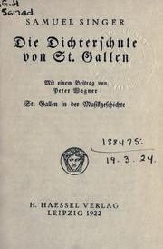


Search results from Open Library.
Recent natural events nearby
Ground air-quality sensors
Recently spotted species
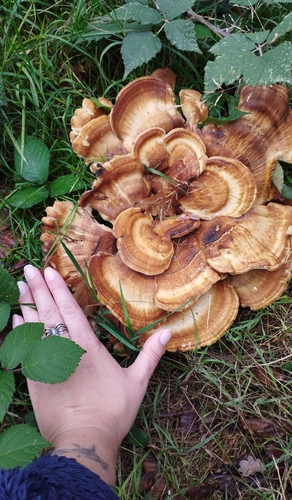
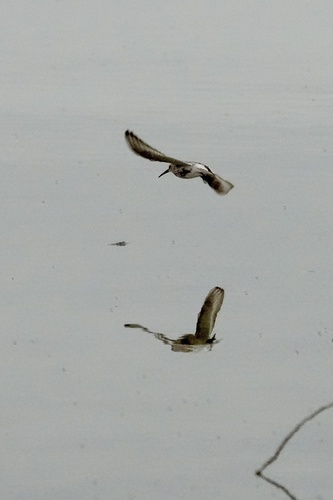
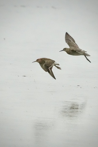
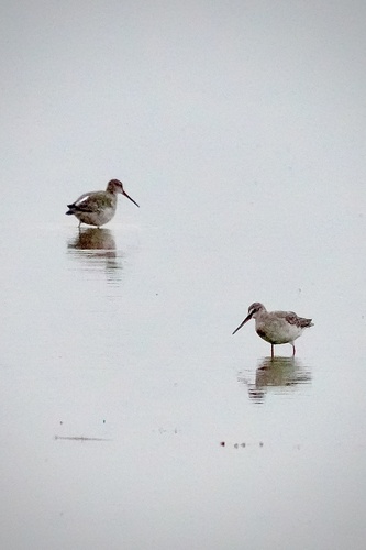
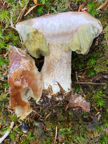
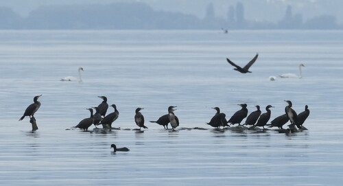
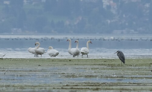
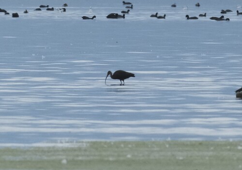
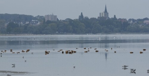
Research-grade observations from iNaturalist (within ~15 mi).
Events
Notable, recurring, and historical events associated with St. Gallen, sourced from Wikidata.
- Performance Open Air 2019Jan 1, 2019festival
- Performance Open Air 2018Jan 1, 2018festival
- Performance Open Air 2017Jan 1, 2017festival
- Performance Open Airfestival
Source: Wikidata (CC0).
Gallery
Official Identifiers
BFS — Swiss Federal Statistical Office
- BFS-Nr
- 3203
- Population (Wikidata)
- 78,863
- Wikidata
- Q25607
Gemeindenummer via Wikidata P771
Sources
- • Wikipedia
- • Wikidata
- • USGS Earthquake Catalog (global feed)
- • GBIF (Global Biodiversity Information Facility)
- • iNaturalist
- • Open-Meteo / sunrise-sunset.org
- • Wikipedia Pageviews API
- • Open Library
- • Wikidata SPARQL (CC0) — population, area, elevation, inception, head of government, Commons image
- • BFS — Swiss Federal Statistical Office — Gemeindenummer via Wikidata P771