Browse / Switzerland / Nidwalden / Stans
Stans
Nidwaldentown

Stans
Total population
8,207
Air quality index
Demographic figures from Swiss Federal Statistical Office. Overview below cites Wikipedia and may reference a different year.
City facts
Facts from Wikidata (CC0).
Overview
Stans is the capital of the canton of Nidwalden (Nidwald) in Switzerland.
Read more on WikipediaHistory & geography
History
Stans is one of the oldest settlements in the entire Nidwalden valley. The first traces of human settlement date to the second century BC. During the Roman era there is little evidence of a settlement except for some Gallo-Roman Ustrinum or funeral pyres and the Latin root (stagnum meaning a pool or sump) of the name Stans. By 1291, when Unterwalden joined Uri and Schwyz in what became the Swiss Confederation, Stans was already the capital of the section known as Unterwalden nid dem Kernwald which would become the half canton of Nidwalden. In 1386, during the Battle of Sempach, a soldier from Stans, Arnold von Winkelried, is claimed to have thrown himself on the pikes of the Habsburg army which led the Swiss to victory. However it is doubtful whether he existed or died in the battle as the first mention of his selfless act appears over 150 years after the battle and a man who may have been Arnold was party to a lawsuit in 1389. Regardless, the legend is firmly in place in Stans, with a monument and his house located in the town. Following the Swiss victories in the Burgundian Wars the Old Swiss Confederation was nearly torn apart by internal conflict when the city cantons insisted on having the lion's share of the proceeds since they had supplied the most troops. The country cantons resented this and the Tagsatzung or leadership of each of the cantons met in Stans in 1481 to resolve the issues. However, they were unable to resolve the issues and war seemed inevitable. A local hermit, Niklaus von der Flüe, was consulted on the situation. He requested that a message be passed on to the members of the Tagsatzung on his behalf. The details of the message have remained unknown to this day, however it did calm the tempers and led to the drawing up of the Stanser…
Geography
The area of Stans is . Much of the land within the borders of Stans is agricultural (43.7%), while just over a third (36.5%) is forested. Of the remaining area, about 17% is settlements and less than 2.6% is unproductive (mountains, rivers or glaciers). The highest point within the borders of Stans is on the Stanserhorn and is above sea level. The lowest point is at Fronhofen where the elevation is . The village square (Dorfplatz) has an elevation of . Stans has an average of 137.7 days of rain per year and on average receives of precipitation. The wettest month is August when Stans receives an average of of precipitation on 13.6 days. The month with the most days of precipitation is June, with an average of 14.2, but with only of precipitation. The driest month of the year is January with an average of of precipitation over 13.6 days.
Excerpted from the corresponding Wikipedia article (CC BY-SA).
Geography
Coordinates & boundaries from the US Census TIGER/Line shapefiles.
Climate
Air quality
Current readings from Open-Meteo Air Quality API (Copernicus CAMS European reanalysis).
Walkability
Amenities nearby
Wildlife & biodiversity
Most-observed species
- Meadow BrownManiola jurtina (Linnaeus, 1758) · Insecta5,342
- Annual FleabaneErigeron annuus (L.) Pers. · Magnoliopsida5,159
- Butterfly-bushBuddleja davidii Franch. · Magnoliopsida4,344
- RingletAphantopus hyperantus (Linnaeus, 1758) · Insecta2,685
- Common ToadBufo bufo (Linnaeus, 1758) · Amphibia2,307
- Common BluePolyommatus icarus (von Rottemburg, 1775) · Insecta2,231
- Eurasian CootFulica atra Linnaeus, 1758 · Aves2,021
- MallardAnas platyrhynchos Linnaeus, 1758 · Aves1,953
Citizen-science & research observations from the Global Biodiversity Information Facility (GBIF).
Earthquake history
Most recent
- M 3.7 — 2026-04-264 km N of Quarten, Switzerland
- M 4.1 — 2025-07-214 km E of Frutigen, Switzerland
- M 3.5 — 2024-06-271 km SSW of Todtmoos, Germany
- M 4.2 — 2024-06-042 km NNW of Unteriberg, Switzerland
- M 3.8 — 2022-09-012 km WSW of Sevelen, Switzerland
- M 2.7 — 2022-08-234 km S of Turtmann, Switzerland
Events from the USGS Earthquake Catalog (global) (FDSN Event Web Service).
Photos
Sights & places nearby
Notable people from here


People born within ~10 km, from Wikidata (CC0). Click any name for their Wikipedia article.
Nearby places in Nidwalden
- Oberdorf NW0.9 mi away · pop. 3,081
- Dallenwil2 mi away · pop. 1,828
- Stansstad2.1 mi away · pop. 4,381
- Buochs2.8 mi away · pop. 5,398
- Ennetbürgen2.9 mi away · pop. 4,549
- Beckenried5.2 mi away · pop. 3,452
- Bo‘zovboy2642.8 mi away
- Mingbuloq2646 mi away
- Ko‘lquduq2657.2 mi away
- Ko‘kayoz2669.4 mi away
- Sokin2677.7 mi away
- Kokpatas2694.1 mi away
Geography & sun
Elevation, sunrise/sunset and daylight from Open-Meteo. Solar climatology from NASA POWER.
Nearby airports
Public attention
Pageview totals from the Wikimedia Pageviews API.
Books about Stans
Search results from Open Library.
Recent natural events nearby
Ground air-quality sensors
Recently spotted species
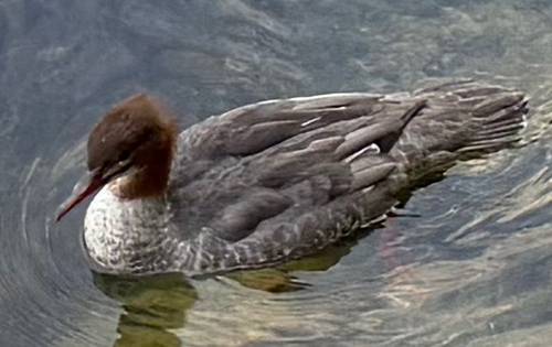
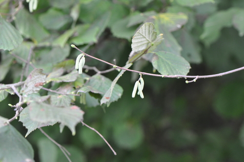
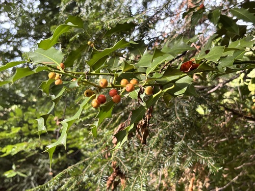
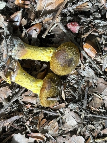
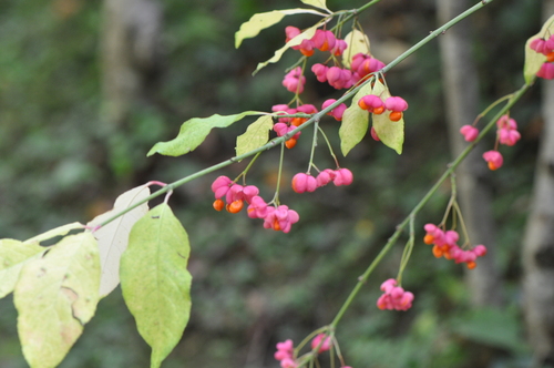
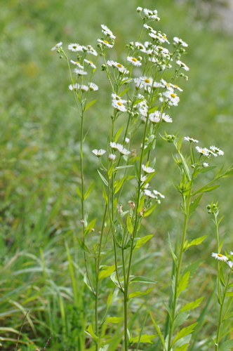
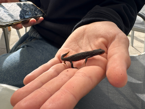
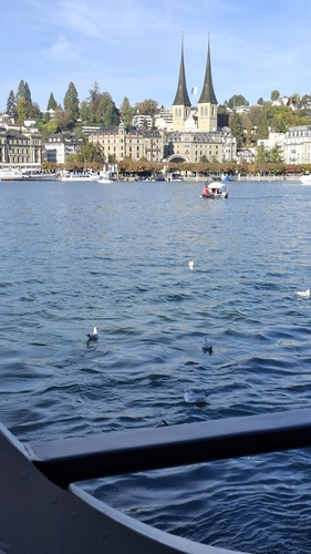
Research-grade observations from iNaturalist (within ~15 mi).
Events
Notable, recurring, and historical events associated with Stans, sourced from Wikidata.
- Jan 1, 2020
- Jan 1, 2019
- Jan 1, 2017
Source: Wikidata (CC0).
Gallery
Official Identifiers
BFS — Swiss Federal Statistical Office
- BFS-Nr
- 1509
- Population (Wikidata)
- 8,508
- Wikidata
- Q63931
Gemeindenummer via Wikidata P771
Sources
- • Wikipedia
- • Wikidata
- • Open-Meteo Air Quality (CAMS)
- • USGS Earthquake Catalog (global feed)
- • GBIF (Global Biodiversity Information Facility)
- • iNaturalist
- • Open-Meteo / sunrise-sunset.org
- • Wikipedia Pageviews API
- • Open Library
- • Wikidata SPARQL (CC0) — population, area, elevation, inception, head of government, Commons image
- • BFS — Swiss Federal Statistical Office — Gemeindenummer via Wikidata P771