Browse / Switzerland / Lucerne / Sursee
Sursee
Lucernetown

Sursee
Total population
9,489
Demographic figures from Swiss Federal Statistical Office. Overview below cites Wikipedia and may reference a different year.
City facts
Facts from Wikidata (CC0).
Overview
Sursee is a municipality in the district of Sursee in the canton of Lucerne, Switzerland. Sursee is located at the northern end of Lake Sempach, not far from where the Sure stream exits the lake ("See"), hence the name "Sursee".
Read more on WikipediaHistory & geography
History
The shores of Lake Sempach have been inhabited since the Neolithic. Sursee municipality is home to the Halbinsel prehistoric pile-dwelling (or stilt house) settlement that is part of the Prehistoric Pile dwellings around the Alps UNESCO World Heritage Site. Halbinsel was settled a number of times during the Neolithic and Bronze Age. At Zellmoos in the Halbinsel site, the bottom layer is from the Cortaillod culture while there are several Late Bronze Age layers above it. There are three Late Bronze Age layers at Gammainseli. The Zellmoos sites were discovered in 1806 and excavated in 1902, 1941, 1991 and 2005. The Bronze Age sites featured several houses with clay floors. A number of ceramic, bronze, bone, stone and flint items were found in the excavation. The Gammainseli site has been known since the 19th century, and was explored by divers in 2005, who found Late Bronze Age potsherds, animal bones and a few bronze items. Some neolithic flints were also found, but no trace of a settlement has been discovered. In the Roman era, there was a vicus just to the west of the town. In the 8th century, a wooden church was built around which the village gradually developed. The wooden church was replaced by stonework in c. 800, again rebuilt in c. 1000. An Alamannic cemetery and the remains of another early medieval church were excavated to the north-east of the town. The first mention as Surse dates to 1036, as Ulrich I of Lenzburg gave the village to Beromünster abbey. The village grew into a small town in the 13th century, granted city rights by the Dukes of Austria in 1299. Sursee was conquered by Lucerne in 1415, and managed to retain its city rights under the new lordship. In the later 19th century, the furnace-factory Ofenfabrik Sursee grew to be the largest…
Geography
Sursee has an area of . Of this area, 30.7% is used for agricultural purposes, while 21.8% is forested. Of the rest of the land, 46.8% is settled (buildings or roads) and the remainder (0.7%) is non-productive (rivers, glaciers or mountains). , 21.88% of the total land area was forested. Of the agricultural land, 28.72% is used for farming or pastures, while 2.05% is used for orchards or vine crops. Of the settled areas, 17.95% is covered with buildings, 9.23% is industrial, 0.51% is classed as special developments, 3.76% is parks or greenbelts and 15.21% is transportation infrastructure.
Excerpted from the corresponding Wikipedia article (CC BY-SA).
Geography
Coordinates & boundaries from the US Census TIGER/Line shapefiles.
Climate
Air quality
Walkability
Amenities nearby
Wildlife & biodiversity
Most-observed species
- Meadow BrownManiola jurtina (Linnaeus, 1758) · Insecta5,123
- European roe deerCapreolus capreolus (Linnaeus, 1758) · Mammalia3,682
- Common BluePolyommatus icarus (von Rottemburg, 1775) · Insecta3,378
- Carrion CrowCorvus corone Linnaeus, 1758 · Aves2,693
- MallardAnas platyrhynchos Linnaeus, 1758 · Aves2,492
- red foxVulpes vulpes (Linnaeus, 1758) · Mammalia2,475
- White-legged Damselfly, Blue featherlegPlatycnemis pennipes (Pallas, 1771) · Insecta2,360
- Annual FleabaneErigeron annuus (L.) Pers. · Magnoliopsida2,338
Citizen-science & research observations from the Global Biodiversity Information Facility (GBIF).
Earthquake history
Most recent
- M 3.7 — 2026-04-264 km N of Quarten, Switzerland
- M 4.1 — 2025-07-214 km E of Frutigen, Switzerland
- M 3.5 — 2024-06-271 km SSW of Todtmoos, Germany
- M 4.2 — 2024-06-042 km NNW of Unteriberg, Switzerland
- M 3.9 — 2022-09-101 km WSW of Zimmersheim, France
- M 4.1 — 2021-12-242 km WSW of Blamont, France
Events from the USGS Earthquake Catalog (global) (FDSN Event Web Service).
Photos
Sights & places nearby
Notable people from here


People born within ~10 km, from Wikidata (CC0). Click any name for their Wikipedia article.
Nearby places in Lucerne
- Hergiswil bei Willisau9.3 mi away · pop. 1,809
- Janiszów672.2 mi away · pop. 610
- Annopol672.3 mi away · pop. 2,371
- Opoka Duża672.8 mi away
- Stary Rachów674.4 mi away · pop. 170
- Pocześle674.7 mi away
- Szczecyn676.4 mi away · pop. 514
- Pielgrzymka677.2 mi away · pop. 40
- Wojciechów677.5 mi away
- Gościeradów Ukazowy678 mi away · pop. 880
- Zagłoba679.8 mi away
- Szczekarków680.4 mi away
Geography & sun
Elevation, sunrise/sunset and daylight from Open-Meteo. Solar climatology from NASA POWER.
Nearby airports
Public attention
Pageview totals from the Wikimedia Pageviews API.
Books about Sursee
Search results from Open Library.
Recent natural events nearby
Ground air-quality sensors
Recently spotted species
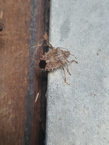
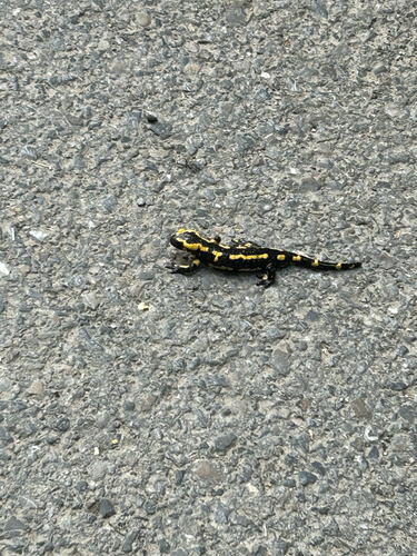
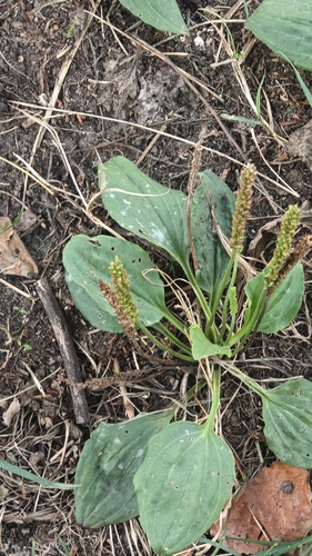
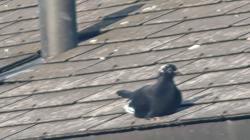
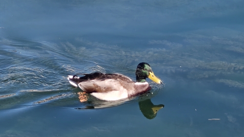
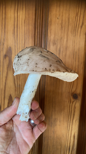
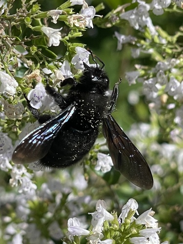
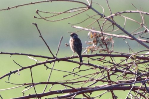
Research-grade observations from iNaturalist (within ~15 mi).
Events
Gallery
Official Identifiers
BFS — Swiss Federal Statistical Office
- BFS-Nr
- 1103
- Population (Wikidata)
- 10,810
- Wikidata
- Q7123
Gemeindenummer via Wikidata P771
Sources
- • Wikipedia
- • Wikidata
- • USGS Earthquake Catalog (global feed)
- • GBIF (Global Biodiversity Information Facility)
- • iNaturalist
- • Open-Meteo / sunrise-sunset.org
- • Wikipedia Pageviews API
- • Open Library
- • Wikidata SPARQL (CC0) — population, area, elevation, inception, head of government, Commons image
- • BFS — Swiss Federal Statistical Office — Gemeindenummer via Wikidata P771