Browse / Switzerland / Bern / Thierachern
Thierachern
Bernvillage
Total population
2,401
Demographic figures from Swiss Federal Statistical Office. Overview below cites Wikipedia and may reference a different year.
City facts
Sister cities
Facts from Wikidata (CC0).
Overview
Thierachern (Highest Alemannic: Tierachere) is a municipality in the administrative district of Thun in the canton of Bern in Switzerland.
Read more on WikipediaHistory & geography
History
Thierachern is first mentioned in 1250 as Tierachern. The area around Thierachern was occupied during the Neolithic era, the Bronze Age and the La Tène era. The remains of a Roman era settlement and graves were discovered under the village church. Additional Roman or early medieval stone lined cists were found near Egg. Other graves, of an indeterminate age, have been found in Oberen Hasliholz, by Halterain and by Wahlen. All the prehistoric artifacts indicate that the area has had a long history of human habitation. The village first appears in historic records as a part of the Herrschaft of Strättligen. The village church of St. Martin was first mentioned in 1228 as one of the 12 Lake Thun churches in the Strättliger Chronicle. The current church dates to 1706-08 when Abraham Dünz the Younger rebuilt the old building. When the Strättligen family died out in 1349, the village was inherited and sold to several lords over the following centuries. In 1594 the von May family from Bern acquired the village. They sold it to Bern in 1607 and the village became part of the Bernese Thun District. In 1841 the village sold a large Allmend or common field (about 23% of the total land area) to the Swiss Army for a training ground for the barracks at Thun. In the 1960s commuters began to move into the village to escape the growing city of Thun. To house the growing population several new housing developments grew up in the municipality. Today over 80% of the population commutes to jobs in Thun. Of the jobs remaining in the municipality, about 35% are in agriculture, while only 13% are in industry.
Geography
Thierachern has an area of . As of the 2004 survey, a total of or 66.6% is used for agricultural purposes, while or 17.3% is forested. Of rest of the municipality or 12.4% is settled (buildings or roads), or 0.5% is either rivers or lakes and or 3.5% is unproductive land. Between the 1981 and 2004 surveys the settled area increased from to , an increase of 32.86%. From the same survey, housing and buildings made up 6.6% and transportation infrastructure made up 4.9%. A total of 16.0% of the total land area is heavily forested and 1.3% is covered with orchards or small clusters of trees. Of the agricultural land, 41.1% is used for growing crops and 23.8% is pasturage, while 1.7% is used for orchards or vine crops. All the water in the municipality is flowing water. Of the unproductive areas, 2.4% is unproductive vegetation and 1.1% is too rocky for vegetation.
Excerpted from the corresponding Wikipedia article (CC BY-SA).
Geography
Coordinates & boundaries from the US Census TIGER/Line shapefiles.
Climate
Air quality
Walkability
Amenities nearby
Wildlife & biodiversity
Most-observed species
- Meadow BrownManiola jurtina (Linnaeus, 1758) · Insecta3,404
- Southern DamselflyCoenagrion mercuriale (Charpentier, 1840) · Insecta2,966
- European roe deerCapreolus capreolus (Linnaeus, 1758) · Mammalia2,335
- RingletAphantopus hyperantus (Linnaeus, 1758) · Insecta2,282
- Small TortoiseshellAglais urticae (Linnaeus, 1758) · Insecta2,105
- Marbled WhiteMelanargia galathea Linnaeus, 1758 · Insecta1,791
- red foxVulpes vulpes (Linnaeus, 1758) · Mammalia1,694
- Butterfly-bushBuddleja davidii Franch. · Magnoliopsida1,584
Citizen-science & research observations from the Global Biodiversity Information Facility (GBIF).
Earthquake history
Most recent
- M 4.1 — 2025-07-214 km E of Frutigen, Switzerland
- M 4.2 — 2024-06-042 km NNW of Unteriberg, Switzerland
- M 3.2 — 2024-05-099 km SW of Evolène, Switzerland
- M 4.4 — 2023-03-221 km NW of Pont-de-Roide, France
- M 2.7 — 2022-08-234 km S of Turtmann, Switzerland
- M 4.1 — 2021-12-242 km WSW of Blamont, France
Events from the USGS Earthquake Catalog (global) (FDSN Event Web Service).
Photos
Sights & places nearby
Notable people from here


People born within ~10 km, from Wikidata (CC0). Click any name for their Wikipedia article.
Nearby places in Bern
- Amsoldingen1.8 mi away · pop. 828
- Oberstocken2.7 mi away · pop. 288
- Gurzelen2.7 mi away · pop. 829
- Heimberg2.7 mi away · pop. 6,585
- Niederstocken3.3 mi away · pop. 249
- Hünibach3.5 mi away
- Zwieselberg3.7 mi away · pop. 324
- Noflen BE3.8 mi away · pop. 299
- Haltenegg4.3 mi away
- Jaberg4.4 mi away · pop. 252
- Kiesen4.5 mi away · pop. 742
- Oppligen4.6 mi away · pop. 665
Geography & sun
Elevation, sunrise/sunset and daylight from Open-Meteo. Solar climatology from NASA POWER.
Nearby airports
Public attention
Pageview totals from the Wikimedia Pageviews API.
Books about this place
Recent natural events nearby
Ground air-quality sensors
Recently spotted species
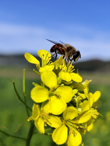
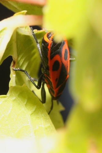
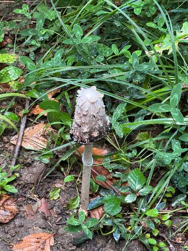
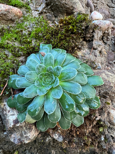
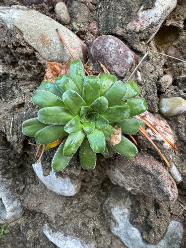
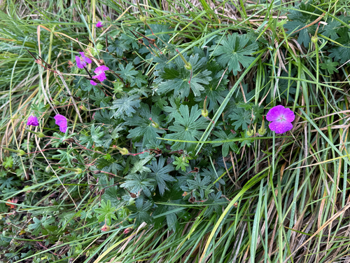
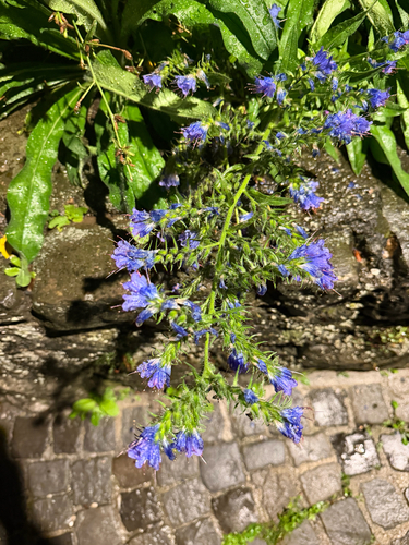
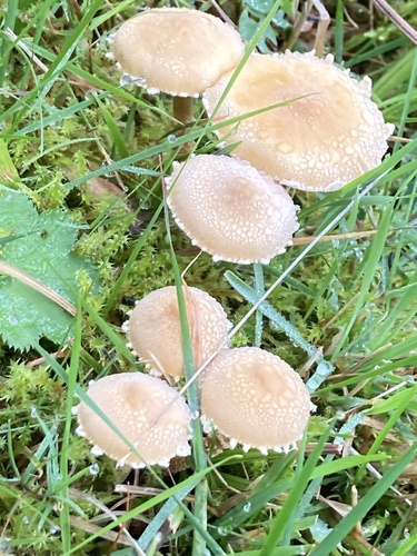
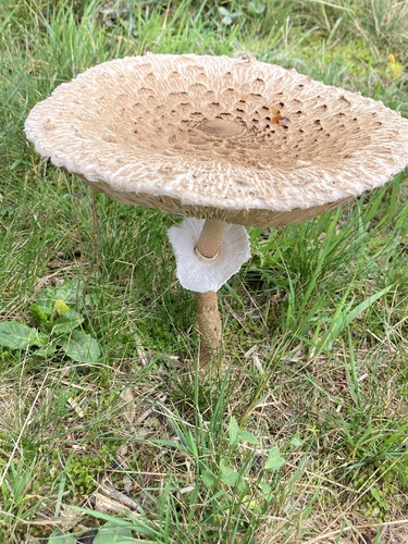
Research-grade observations from iNaturalist (within ~15 mi).
Events
Gallery
Official Identifiers
BFS — Swiss Federal Statistical Office
- BFS-Nr
- 941
- Population (Wikidata)
- 2,428
- Wikidata
- Q66040
Gemeindenummer via Wikidata P771
Sources
- • Wikipedia
- • Wikidata
- • USGS Earthquake Catalog (global feed)
- • GBIF (Global Biodiversity Information Facility)
- • iNaturalist
- • Open-Meteo / sunrise-sunset.org
- • Wikipedia Pageviews API
- • Wikidata SPARQL (CC0) — population, area, elevation, inception, head of government, Commons image
- • BFS — Swiss Federal Statistical Office — Gemeindenummer via Wikidata P771