Browse / Switzerland / Aargau / Unterkulm
Unterkulm
Aargauvillage

Unterkulm
Total population
2,690
Demographic figures from Swiss Federal Statistical Office. Overview below cites Wikipedia and may reference a different year.
City facts
Facts from Wikidata (CC0).
Overview
Unterkulm is a municipality in the district of Kulm in the canton of Aargau in Switzerland.
Read more on WikipediaHistory & geography
History
Both Roman ruins near the church and late-Roman coins at Sonnenhof indicate that the area near Unterkulm was settled during the Roman era. However, Unterkulm is first mentioned in 1045 as Chulenbare though this is for both Unterkulm and Oberkulm. In 1303 it was mentioned as ze Nideren-Kulme which is the first mention of Unterkulm individually. Until 1566 Unter- and Oberkulm formed a tithe district (), though their political separation was probably earlier. In the 12th and 13th centuries the area was ruled by the Lenzburg family, then the Kyburgs and finally the Habsburgs. By 1300 parts of the village were also owned by the monasteries of Schänis, Beromünster and Engelberg as well as local aristocratic families and the Dukes of Austria. In the 14th and 15th centuries the Knights Hospitaller houses at Klingnau and Biberstein, and the collegiate church at Zofingen also became landholders in Unterkulm. After the conquest by Bern in 1415, Unterkulm remained part of the Court on Kulm in the District () of Lenzburg until 1798. During the Helvetic Republic (1798–1803) it was a district capital. The village church was built around 1045 and was dedicated to Saint Martin of Tours. A major fresco cycle was added in the early 14th century. Its tower houses the oldest clock tower in service (1530), built by the Winterthur watchmaker Laurentz Liechti. In 1528 the Protestant Reformation was introduced to the parish of Kulm. The parish consisted of Unterkulm, Oberkulm, Teufenthal and Dürrenäsch, though Dürrenäsch left the parish in 1614. The catholic chapel of Unterkulm is part of the parish of Menziken-Reinach and since 1957 has its own church. In 1565 a school is first mentioned in the village. Towards the middle of the 18th century, in addition to agriculture, cotton…
Geography
Unterkulm has an area, , of . Of this area, or 46.7% is used for agricultural purposes, while or 39.3% is forested. Of the rest of the land, or 14.2% is settled (buildings or roads), or 0.2% is either rivers or lakes. Of the built up area, industrial buildings made up 1.2% of the total area while housing and buildings made up 7.8% and transportation infrastructure made up 4.2%. 37.9% of the total land area is heavily forested and 1.3% is covered with orchards or small clusters of trees. Of the agricultural land, 19.9% is used for growing crops and 23.8% is pastures, while 2.9% is used for orchards or vine crops. All the water in the municipality is in rivers and streams. The municipality is the capital of the Kulm district and is located in the mid-Wynental. Since 1818 it has also been a market town. It consists of three former hamlets of Wannenhof, Zinsental and Kabishof (formerly Wolfsbüel).
Excerpted from the corresponding Wikipedia article (CC BY-SA).
Geography
Coordinates & boundaries from the US Census TIGER/Line shapefiles.
Climate
Air quality
Walkability
Amenities nearby
Wildlife & biodiversity
Earthquake history
Photos
Sights & places nearby
Notable people from here

People born within ~10 km, from Wikidata (CC0). Click any name for their Wikipedia article.
Nearby places in Aargau
- Teufenthal1.4 mi away · pop. 1,598
- Schlossrued1.9 mi away · pop. 903
- Dürrenäsch2.1 mi away · pop. 1,373
- Leutwil2.7 mi away · pop. 755
- Schmiedrued2.8 mi away · pop. 1,219
- Hirschthal2.9 mi away · pop. 1,573
- Kirchleerau3.2 mi away · pop. 849
- Gränichen3.5 mi away · pop. 7,706
- Holziken3.6 mi away · pop. 1,184
- Leimbach AG3.7 mi away · pop. 533
- Birrwil4.1 mi away · pop. 960
- Uerkheim4.2 mi away · pop. 1,355
Geography & sun
Elevation, sunrise/sunset and daylight from Open-Meteo. Solar climatology from NASA POWER.
Nearby airports
Public attention
Pageview totals from the Wikimedia Pageviews API.
Books about this place
Recent natural events nearby
Ground air-quality sensors
Recently spotted species
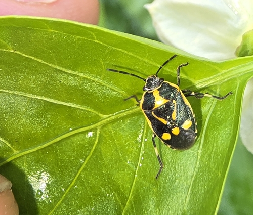
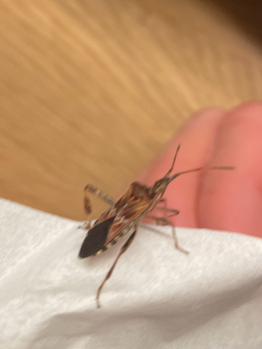
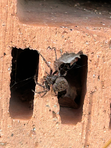
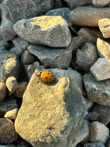
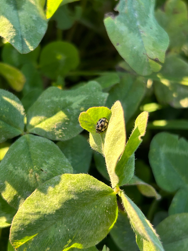
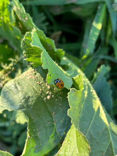
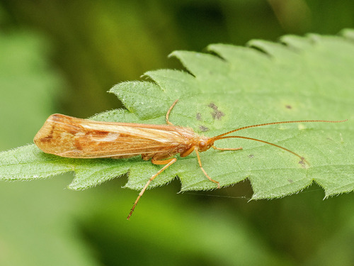
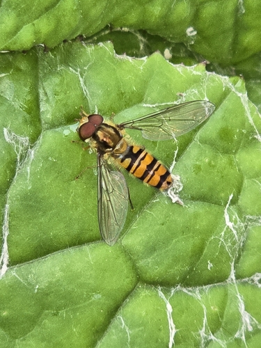
Research-grade observations from iNaturalist (within ~15 mi).
Events
Gallery
Official Identifiers
BFS — Swiss Federal Statistical Office
- BFS-Nr
- 4146
- Population (Wikidata)
- 3,086
- Wikidata
- Q65140
Gemeindenummer via Wikidata P771
Sources
- • Wikipedia
- • Wikidata
- • iNaturalist
- • Open-Meteo / sunrise-sunset.org
- • Wikipedia Pageviews API
- • Wikidata SPARQL (CC0) — population, area, elevation, inception, head of government, Commons image
- • BFS — Swiss Federal Statistical Office — Gemeindenummer via Wikidata P771